
North 3rd Street in Grand Forks, North Dakota
North 3rd Street in Grand Forks is a residential street. It runs in a southeast-northwest direction starting from Gateway Drive and crosses 10th Avenue North, 9th Avenue North, 8th Avenue North, 7th Avenue North, 6th Avenue North, 5th Avenue North, 4th Avenue North, University Avenue, 2nd Avenue North and 1st Avenue North and ends at DeMers Avenue. Nearby you can find a bar and a restaurant. North 3rd Street also exists in Adams County, Richland County, Pembina County and Ransom County.
- Road Type
- residential street
- Route
- southeast-northwest
Image
Streets nearby
2nd Avenue NorthFM International Market
350 ft
Riverboat Road500 ft
North 5th StreetHugo’s Pure Market, Saint Michaels School
0.1 mi
South 4th StreetSledster’s, Norby's Work Perks
0.2 mi
South 3rd StreetWells Fargo, Town Square Farmers Market
0.2 mi
Kittson AvenueInk Inc., YouthWorks
0.2 mi
University AvenueUniversity Landing Strip, Loaf 'N Jug, Memorial Union, Christus Rex, Hancock/Bek, Chester Fritz Library, Tulane & University, Odegard, Wilkerson, Chester Fritz Auditorium, State St./University Ave, University Place
0.2 mi
South 5th Street0.2 mi
1st Street Northwest0.2 mi
North 4th StreetWilder School
0.2 mi
Greenway LoopJames R. Fleeker Memorial Boathouse on the Red
0.2 mi
Walnut Street0.3 mi
5th Avenue North0.3 mi
1st Avenue South0.3 mi
DeMers AvenueGrand Forks, GF Switch, Casey's General Store, Empire Theatre, The Loft, Tea & Crepes Cafe, Silver Dawn Books, Cenex
0.3 mi
1st Avenue North0.4 mi
North 8th Street0.4 mi
2nd Avenue SouthOdin's Belmont Service
0.4 mi
Cottonwood Street0.4 mi
Apartment buildings nearby
St. John's Block450 ft
Freighthouse Apartments0.4 mi
University Flats0.4 mi
Banks nearby
Dakota Bank Building250 ft
Gate City Bank0.2 mi
U.S. Bank0.3 mi
Buildings nearby
Grand Forks Herald300 ft
Lutheran Social Services0.1 mi
Edward Jones0.1 mi
Washington School Apartments0.3 mi
Cafes nearby
Urban Stampede0.2 mi
Campgrounds nearby
Red River State Recreation Area0.3 mi
Convenience stores nearby
H&M0.3 mi
Courthouses nearby
Grand Forks County Courthouse0.3 mi
Hotels nearby
Red Roof Inn0.3 mi
Parks nearby
Grand Forks Water Wheel Park0.1 mi
Loon Park0.1 mi
Pillsbury Park0.1 mi
Mystic Swiss Triangle Park0.3 mi
Police stations nearby
Grand Forks County Sheriff0.3 mi
Prisons nearby
Grand Forks Juvenile Correction Center0.3 mi
Pubs nearby
Bonzers Pub0.1 mi
Railways nearby
BNSF Grand Forks Subdivision0.4 mi
Restaurants nearby
Giuseppe's Italian Ristorante0.1 mi
Rhombus Guys0.2 mi
Sports centers nearby
YMCA0.4 mi
Stationery stores nearby
Cole Paper0.4 mi
Studios nearby
IHeartMedia0.2 mi
Theaters nearby
Firehall Theater0.1 mi
Town halls nearby
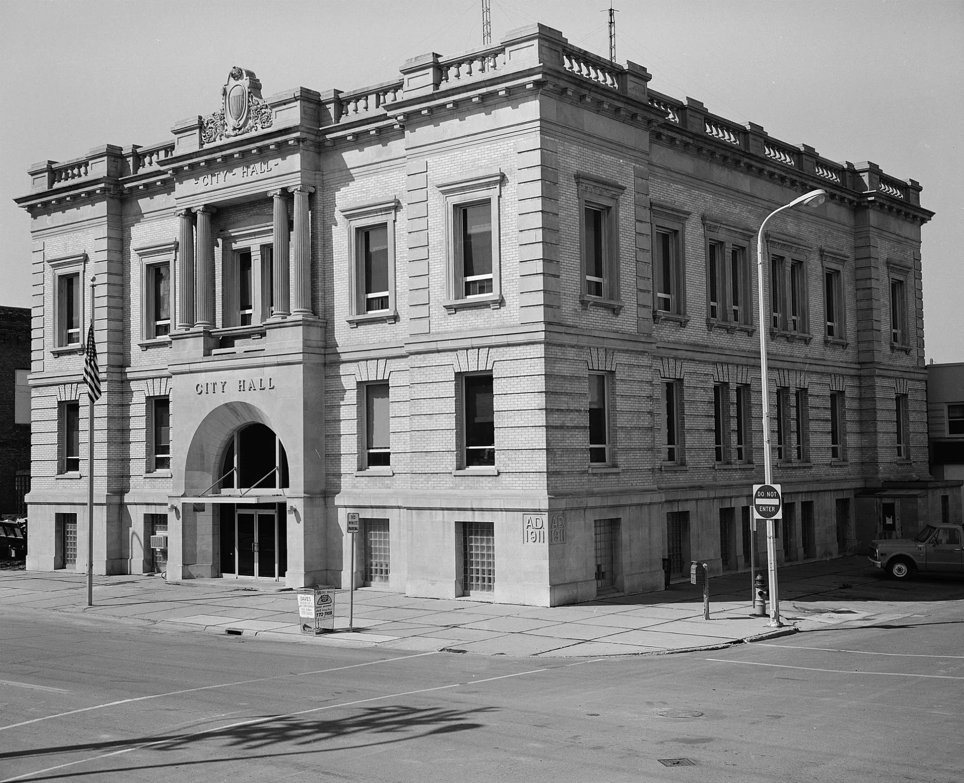
Grand Forks City Hall0.1 mi
 Public transit map Grand Forks Legend
| Railway | |
| Bus | |
| Streetcar |
 Bicycle map Grand Forks Legend
| Bike path | |
| Bike lane on roadway | |
| Cycling allowed on bus lane | |
| Bicycle street | |
| Open to cyclists | |
| Open to cyclists, good path | |
| Cycling prohibited | |
| Cobblestone |
| Long-distance bike route | (depending on scale) | |
| Long-distance bike route |
 Pedestrian map Grand Forks Legend
| Path |
| Long-distance hiking trail | (depending on scale) | |
| Long-distance hiking trail | ||
| Pedestrians prohibited |