This page is the City map of North Dakota, a map with streets, paths and places across the state of the United States. North Dakota covers approximately 183,108 square kilometres and lies at an elevation of about 580 metres above sea level. The state had 779,094 residents, compared with 672,591 in 2010, and was established in 1889. The map includes settlements, counties, waterways and transport connections across the state, including the Missouri River, the Red River of the North and the Great Plains. One long-distance cycling route documented in North Dakota is United States Bicycle Route 30.
Overly is a human settlement in Bottineau County, North Dakota, at administrative level 8. The settlement was established in 1905 and has a recorded population of 10. Bottineau County lies in north-central North Dakota near the Canadian border. The map places Overly within the county road and settlement network of this region.
Tower City is a city in Barnes and Cass counties, North Dakota, at administrative level 8. It was established in 1879 and has a recorded population of 268. The city covers approximately 5,304,870 square metres and lies at an elevation of 357 metres. Its position between Barnes County and Cass County connects it with settlements in the southeastern part of the state.
Wilton is an administrative-level-8 settlement in North Dakota. It lies in the central part of the state, within the landscape crossed by routes connecting communities around the Missouri River basin. The map records Wilton as a distinct place within North Dakota’s local settlement structure.
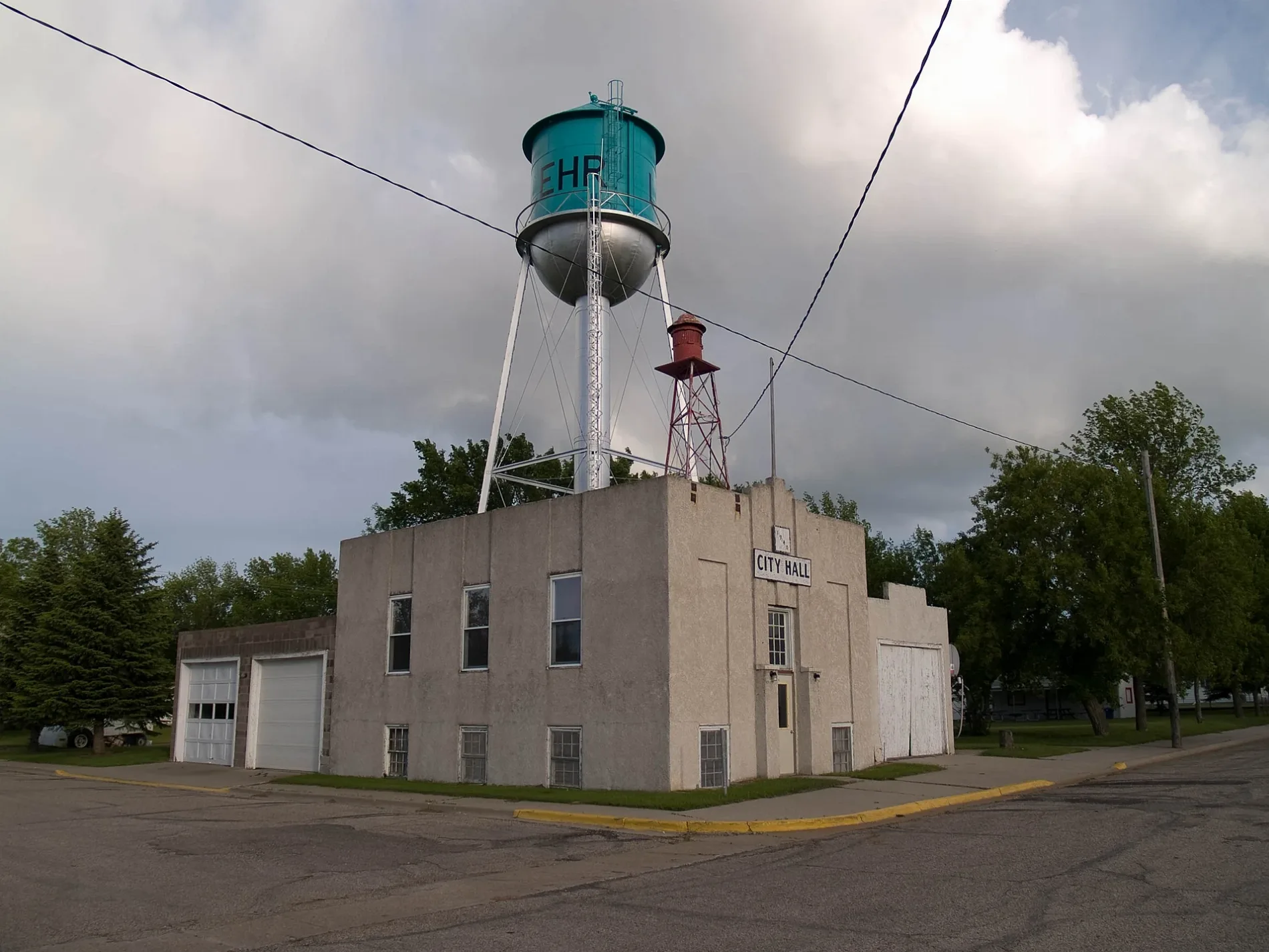
Lehr is a human settlement in North Dakota at administrative level 8. It was established in 1898 and has a recorded population of 81. The settlement covers approximately 488,564 square metres and lies at an elevation of 631 metres. Lehr belongs to the rural settlement pattern of south-central North Dakota.
Aneta is an administrative-level-8 settlement in North Dakota. It lies in the eastern part of the state, where local roads connect small communities with the Red River Valley. The map identifies Aneta as a separate place within North Dakota’s network of towns and rural areas.
Reynolds is an administrative-level-8 settlement in North Dakota. It lies near the eastern North Dakota region shaped by the Red River of the North and the agricultural plains. The map records Reynolds as a distinct locality connected to surrounding roads and places.
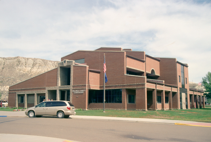
Billings County is an administrative-level-6 county in western North Dakota. Its landscape includes the northern Great Plains and the badlands associated with Theodore Roosevelt National Park. The county is crossed by routes leading toward Medora and the Little Missouri River.
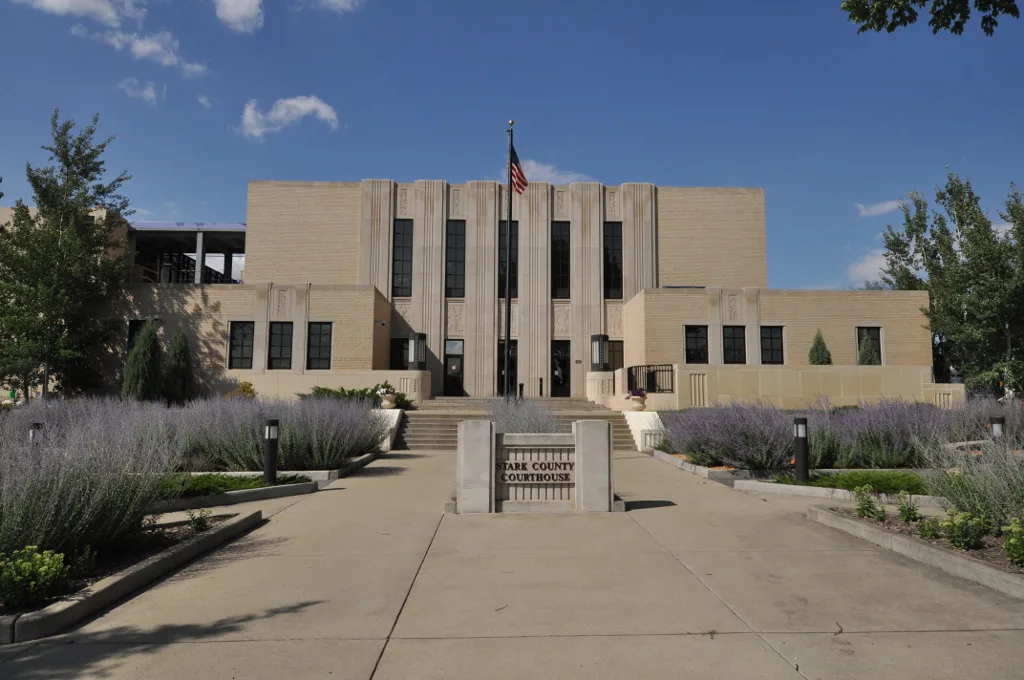
Stark County is an administrative-level-6 county in western North Dakota. It has a recorded population of 33,646 and covers approximately 3,472 square kilometres. The county was established in 1879, and Dickinson is its principal city. Stark County lies near the Little Missouri River and the western prairie region.
McKenzie County is an administrative-level-6 county in western North Dakota. It has 14,704 recorded residents and covers approximately 7,410 square kilometres. The county was established in 1905 and includes Watford City and parts of the Little Missouri badlands. Theodore Roosevelt National Park’s northern unit lies in McKenzie County.
Dunn County is an administrative-level-6 county in west-central North Dakota. The county lies between the Missouri River region and the Little Missouri badlands. Its map area includes rural roads and settlements across the northern Great Plains.
Golden Valley County is an administrative-level-6 county in western North Dakota. It has a recorded population of 1,736 and covers approximately 2,596 square kilometres. The county was established in 1912 and includes Beach, a community near the Montana border. Its terrain belongs to the prairie and badlands transition of western North Dakota.
Slope County is an administrative-level-6 county in southwestern North Dakota. It lies in the Great Plains west of the Missouri River and near the badlands of the Little Missouri River. The map shows a predominantly rural area connected by county roads and small settlements.
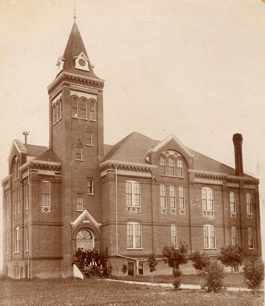
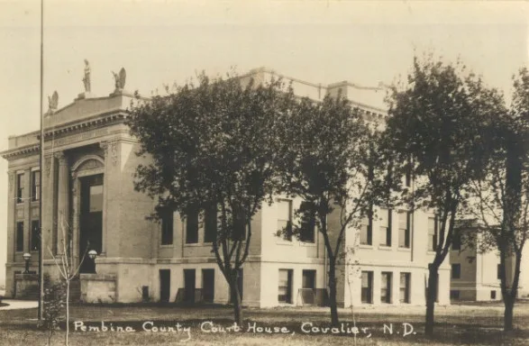
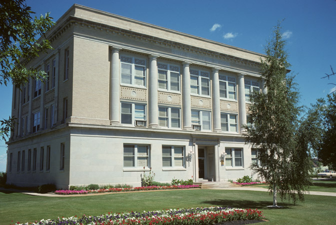
Mid-west Photo Service (St. Paul, Minn.), Public domain – Wikimedia Commons
Adams County is an administrative-level-6 county in southwestern North Dakota. Its county seat, Hettinger, lies in the prairie region west of the Missouri River. The county map includes rural roads and settlements near the South Dakota border.
Bowman County is an administrative-level-6 county in southwestern North Dakota. It has a recorded population of 2,993 and covers approximately 3,022 square kilometres. The county was established in 1883, and Bowman is its principal community. The area lies in the open prairie and badlands zone near the South Dakota border.
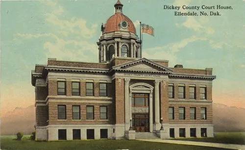
Dickey County is an administrative-level-6 county in southeastern North Dakota. It has 4,999 recorded residents and covers approximately 2,957 square kilometres. The county was established in 1881, with Ellendale and Oakes among its communities. The James River flows through the southeastern part of the state near this county.
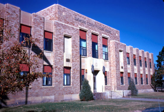
Emmons County is an administrative-level-6 county in south-central North Dakota. It has a recorded population of 3,301 and covers approximately 4,027 square kilometres. The county was established in 1879 and includes Linton near the Missouri River basin. Its eastern landscape extends toward the prairie lakes and river valleys of central North Dakota.
McIntosh County is an administrative-level-6 county in southeastern North Dakota. Its communities lie within the prairie and agricultural landscape east of the Missouri River. The county map records local roads and settlements extending toward the South Dakota border.
Richland County is an administrative-level-6 county in southeastern North Dakota. It has 16,529 recorded residents and covers approximately 3,744 square kilometres. The county was established in 1873, and Wahpeton lies on the Red River of the North opposite Breckenridge, Minnesota. The Red River forms the state boundary in this area.
Sargent County is an administrative-level-6 county in southeastern North Dakota. It has a recorded population of 3,862 and covers approximately 2,246 square kilometres. The county was established in 1883 and includes Forman and Gwinner. Its eastern boundary belongs to the Red River drainage region.
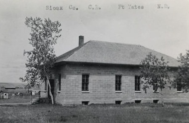
Sioux County is an administrative-level-6 county in south-central North Dakota. It lies along the Missouri River and includes part of the Standing Rock Indian Reservation. The county landscape combines river country with the Great Plains west of the river.
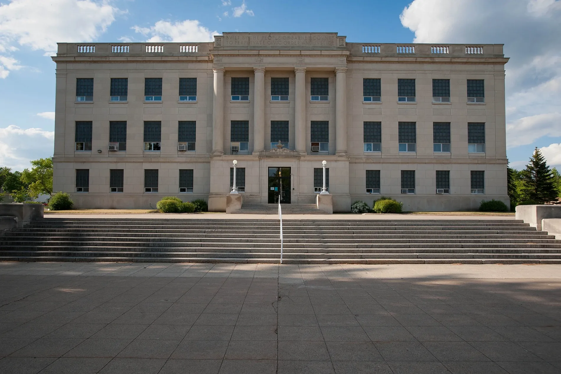
Barnes County is an administrative-level-6 county in southeastern North Dakota. It has 10,853 recorded residents and covers approximately 3,919 square kilometres. The county was established in 1873, and Valley City is its county seat. The Sheyenne River crosses Barnes County and shapes the valley around Valley City.
Benson County is an administrative-level-6 county in north-central North Dakota. It has a recorded population of 5,964 and covers approximately 3,728 square kilometres. The county was established in 1884 and includes the communities of Leeds and Fort Totten. Devils Lake lies nearby to the south and is one of North Dakota’s largest natural lakes.
Bottineau County is an administrative-level-6 county in north-central North Dakota. It has 6,379 recorded residents and covers approximately 4,397 square kilometres. The county was established in 1873 and includes Bottineau, Lake Metigoshe and the Turtle Mountains. Overly is also located in Bottineau County.
Burke County is an administrative-level-6 county in northwestern North Dakota. It lies near the Canadian border and includes prairie landscapes around the communities of Bowbells and Powers Lake. The county road network connects northern settlements with Minot and the Missouri River region.
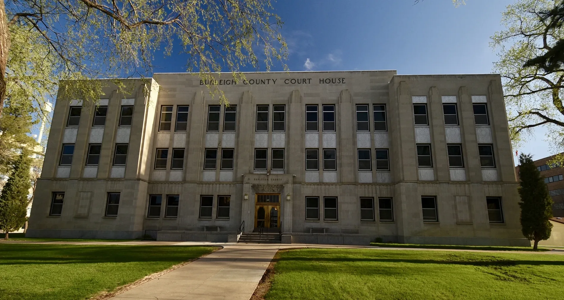
Burleigh County is an administrative-level-6 county in central North Dakota. It has 98,458 recorded residents and covers approximately 4,320 square kilometres. The county was established in 1873 and contains Bismarck, the state capital, on the east bank of the Missouri River. The Missouri River separates Bismarck from Mandan in neighbouring Morton County.
Cass County is an administrative-level-6 county in eastern North Dakota. It has 184,525 recorded residents and covers approximately 4,579 square kilometres. The county was established in 1873 and includes Fargo, North Dakota’s largest city, on the Red River of the North. Tower City lies in Cass and Barnes counties.
Cavalier County is an administrative-level-6 county in northeastern North Dakota. It lies near the Canadian border in the Pembina River drainage area. Communities such as Langdon and Munich are connected by roads across the county’s agricultural plains.
Divide County is an administrative-level-6 county in northwestern North Dakota. It borders Saskatchewan, Canada, and includes Crosby near the international boundary. The county lies in the northern prairie zone west of the Missouri River.
Eddy County is an administrative-level-6 county in central North Dakota. It has 2,347 recorded residents and covers approximately 1,889 square kilometres. The county was established in 1885 and includes New Rockford and part of the Sheyenne River basin. Devils Lake lies east of the county.
Foster County is an administrative-level-6 county in central North Dakota. Its county seat, Carrington, lies in the prairie region between the James River and the Sheyenne River. The map covers agricultural roads and settlements around Carrington and the surrounding county.
Grand Forks County is an administrative-level-6 county in eastern North Dakota. It has 73,170 recorded residents and covers approximately 3,729 square kilometres. The county was established in 1873 and includes Grand Forks on the Red River of the North. The University of North Dakota is located in Grand Forks.
Grant County is an administrative-level-6 county in southwestern North Dakota. It has 2,301 recorded residents and covers approximately 4,315 square kilometres. The county was established in 1916 and includes Elgin and Carson. Its prairie landscape lies west of the Missouri River and north of the South Dakota border.
Griggs County is an administrative-level-6 county in east-central North Dakota. It has 2,306 recorded residents and covers approximately 2,957 square kilometres. The county was established in 1881 and includes Cooperstown near the Sheyenne River. The surrounding land belongs to the Red River Valley transition toward central North Dakota.
Hettinger County is an administrative-level-6 county in southwestern North Dakota. Its county seat, Mott, lies in the prairie region west of the Missouri River. The county borders Adams County and forms part of the rural landscape near the South Dakota line.
Kidder County is an administrative-level-6 county in central North Dakota. It has 2,394 recorded residents and covers approximately 3,712 square kilometres. The county was established in 1873 and includes Steele and Tappen. The James River crosses the county’s prairie landscape.
LaMoure County is an administrative-level-6 county in southeastern North Dakota. It has 4,093 recorded residents and covers approximately 2,981 square kilometres. The county was established in 1873 and includes LaMoure and Edgeley. The James River and agricultural plains define the county’s location between central and southeastern North Dakota.
Logan County is an administrative-level-6 county in south-central North Dakota. It includes Napoleon and lies in the prairie landscape east of the Missouri River. Local roads connect the county with McIntosh, LaMoure and Emmons counties.
McHenry County is an administrative-level-6 county in north-central North Dakota. It has 5,345 recorded residents and covers approximately 4,951 square kilometres. The county was established in 1873 and includes Towner and Velva. The Souris River runs through the region toward Minot and the Canadian border.
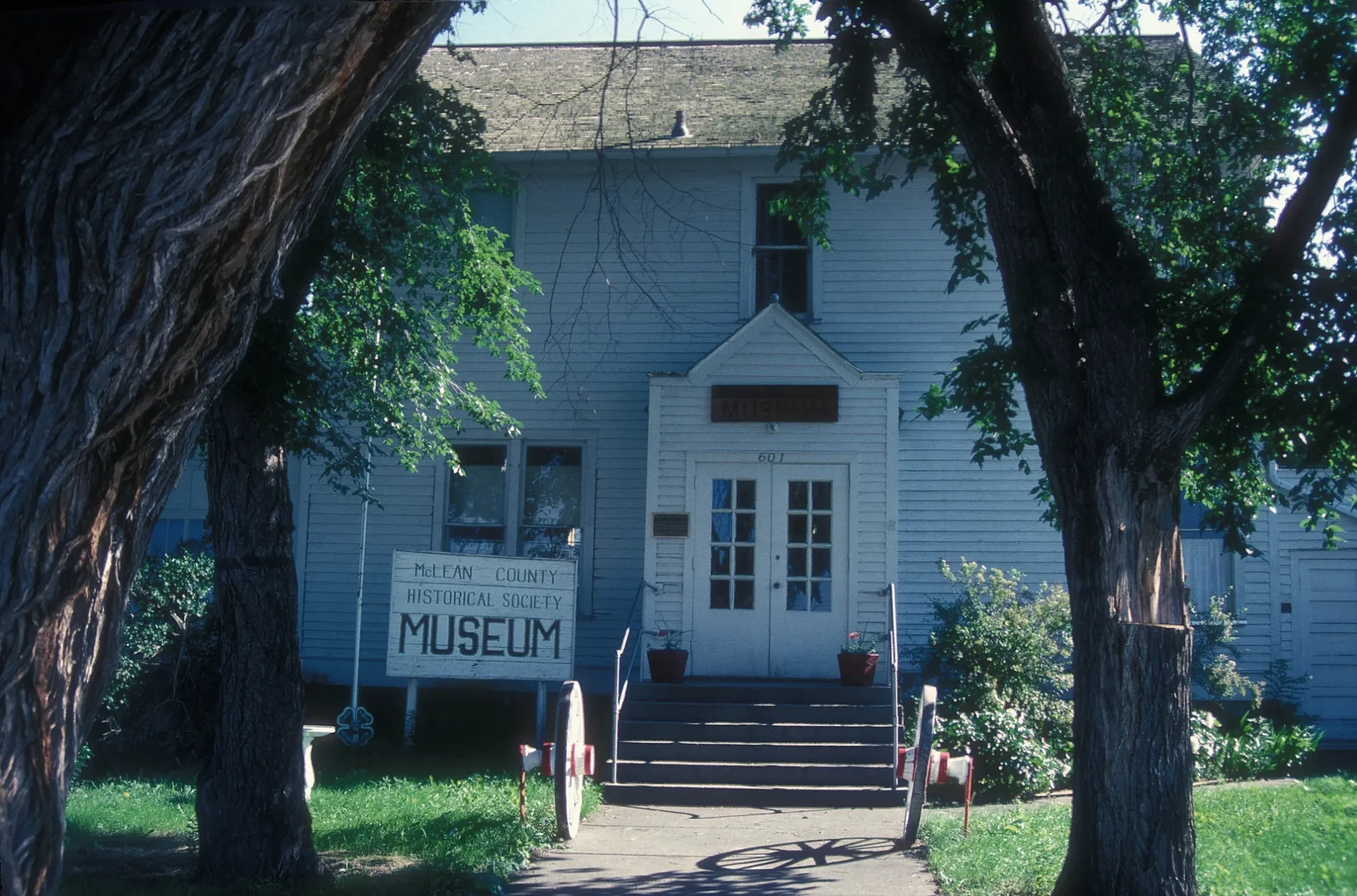
McLean County is an administrative-level-6 county in central North Dakota. It has 9,771 recorded residents and covers approximately 6,030 square kilometres. The county was established in 1883 and includes Washburn and Garrison. Lake Sakakawea, a large reservoir on the Missouri River, extends along the county’s western area.
Mercer County is an administrative-level-6 county in west-central North Dakota. It has 8,350 recorded residents and covers approximately 2,881 square kilometres. The county was established in 1875 and includes Beulah and Hazen. The county lies near the northern shore of Lake Sakakawea and the Missouri River.
Morton County is an administrative-level-6 county in central North Dakota. It has 33,291 recorded residents and covers approximately 5,038 square kilometres. The county was established in 1873 and includes Mandan on the west bank of the Missouri River. Fort Abraham Lincoln State Park lies near Mandan, opposite Bismarck in Burleigh County.
Mountrail County is an administrative-level-6 county in northwestern North Dakota. It has 9,809 recorded residents and covers approximately 5,027 square kilometres. The county was established in 1873 and includes Stanley and New Town. Lake Sakakawea and the Missouri River form major geographic features in the southern part of the county.
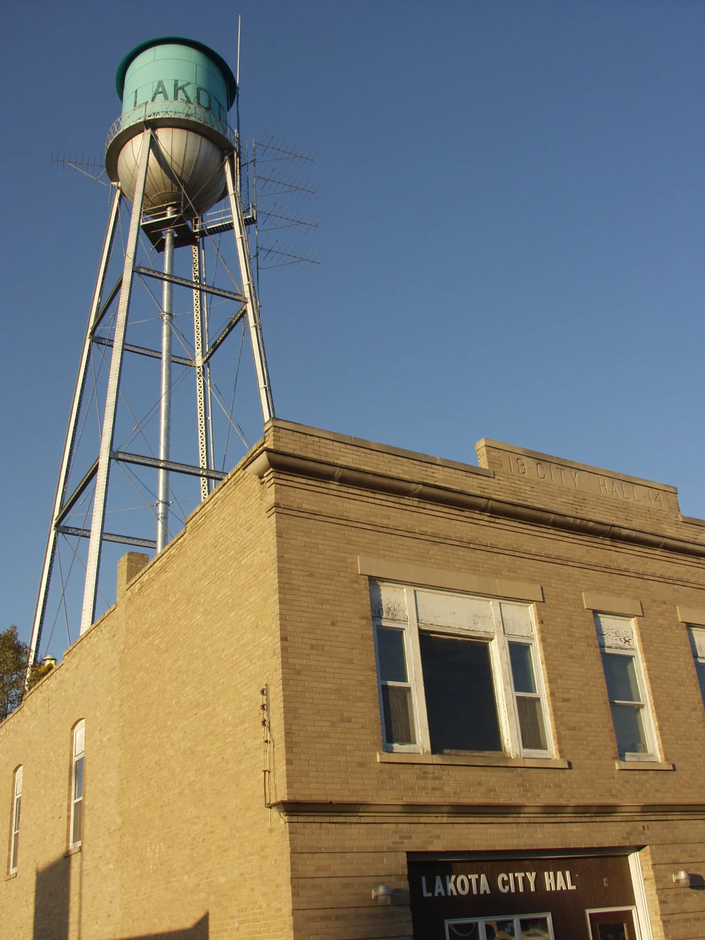
Nelson County is an administrative-level-6 county in northeastern North Dakota. It has 3,015 recorded residents and covers approximately 2,613 square kilometres. The county was established in 1883 and includes Lakota and McVille. Its landscape lies between Devils Lake and the Red River Valley.
Oliver County is an administrative-level-6 county in central North Dakota. Its county seat, Center, lies west of the Missouri River and near the prairie communities around Lake Sakakawea. The county map includes roads connecting Center with Bismarck, Mercer County and the river basin.
Pembina County is an administrative-level-6 county in northeastern North Dakota. It has 6,844 recorded residents and covers approximately 2,905 square kilometres. The county was established in 1867 and includes Pembina and Cavalier. The Pembina River flows through the county before reaching the Red River of the North.
Pierce County is an administrative-level-6 county in north-central North Dakota. Its county seat, Rugby, is known as a geographic centre of North America. The county lies in the prairie region between the Souris River and Devils Lake.
Ramsey County is an administrative-level-6 county in northeastern North Dakota. It has 11,605 recorded residents and covers approximately 3,369 square kilometres. The county was established in 1873 and includes Devils Lake, a major community beside the lake of the same name. Devils Lake is an endorheic lake with no natural outlet to the sea.
Ransom County is an administrative-level-6 county in southeastern North Dakota. It has 5,703 recorded residents and covers approximately 2,238 square kilometres. The county was established in 1881 and includes Lisbon on the Sheyenne River. The river valley provides a clear geographic contrast to the surrounding prairie.
Renville County is an administrative-level-6 county in north-central North Dakota. It borders Canada and includes Mohall near the Souris River basin. The county’s roads connect northern settlements with Minot and the Turtle Mountains.
Rolette County is an administrative-level-6 county in north-central North Dakota. It has 12,187 recorded residents and covers approximately 2,433 square kilometres. The county was established in 1873 and includes Rolla and Belcourt. The Turtle Mountains and the Canadian border define much of its northern landscape.
Sheridan County is an administrative-level-6 county in central North Dakota. It has 1,265 recorded residents and covers approximately 2,605 square kilometres. The county was established in 1873 and includes McClusky and Goodrich. The area lies in the prairie zone east of the Missouri River.
Steele County is an administrative-level-6 county in eastern North Dakota. It has 1,798 recorded residents and covers approximately 1,853 square kilometres. The county was established in 1883 and includes Finley and Hope. Its landscape belongs to the agricultural plains between the Sheyenne River and the Red River Valley.
Stutsman County is an administrative-level-6 county in central North Dakota. It has a recorded population of 21,103 and includes Jamestown, located along the James River. The county’s prairie and river landscapes connect central North Dakota with the eastern plains.
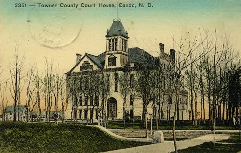
St. Paul Souvenir Co., Pub. for Johnson & Co., Cando, N.D., Public domain – Wikimedia Commons
Towner County is an administrative-level-6 county in north-central North Dakota. Its county seat, Cando, lies in the prairie region south of the Canadian border. The county is connected by roads with Rolette, Benson and Ramsey counties.
Traill County is an administrative-level-6 county in eastern North Dakota. It has 7,997 recorded residents and covers approximately 2,235 square kilometres. The county was established in 1875 and includes Hillsboro and Mayville. The Goose River and the Red River Valley shape the county’s eastern landscape.
Walsh County is an administrative-level-6 county in northeastern North Dakota. It has 10,563 recorded residents and was established in 1881. Grafton, the county seat, lies near the Park River and the Red River of the North. Agricultural plains extend from the river valley toward the Turtle Mountains.
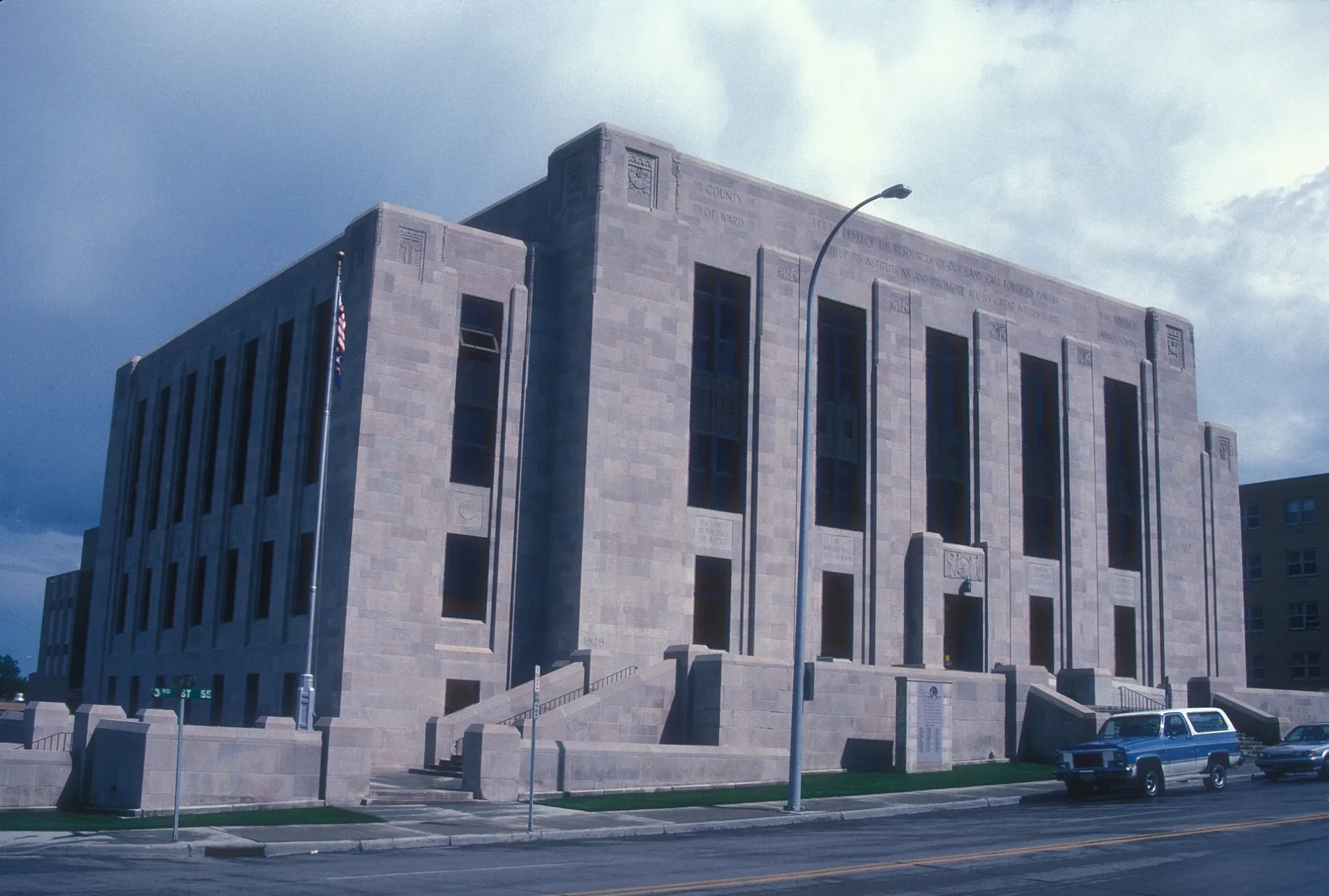
Ward County is an administrative-level-6 county in north-central North Dakota. It has 69,919 recorded residents and was established in 1885. Minot, located on the Souris River, is the county’s principal city and a regional transport centre. The Souris River crosses the county from the Canadian border toward the Mouse River valley.
Wells County is an administrative-level-6 county in central North Dakota. It has 3,982 recorded residents and covers approximately 1,873 square kilometres. The county was established in 1873 and includes Harvey and Fessenden. Its prairie roads connect the James River basin with central communities near the Missouri River.
Williams County is an administrative-level-6 county in northwestern North Dakota. It has 40,950 recorded residents and was established in 1891. Williston lies near the Missouri River and forms the county’s principal urban centre. The county includes prairie landscapes extending toward the Montana and Canadian borders.
Mandaree Segment is an administrative-level-7 area in North Dakota. It is associated with Mandaree in western North Dakota, within the Fort Berthold Indian Reservation and near Lake Sakakawea. The map records the segment separately from the surrounding county-level units and shows its connection to local roads and settlements.
The Catholic Encyclopedia, Collier's New Encyclopedia, 1921, New International Encyclopedia, The New Student's Reference Work, Armenian Soviet Encyclopedia, vol. 6



























 Public transit map North Dakota Legend
  Bicycle map North Dakota Legend
  Pedestrian map North Dakota Legend