
Wahpeton, North Dakota
Wahpeton is located in Richland County. About 8,007 people live here (as of 2020). Between 2010 and 2020, the population grew from 7,766 to 8,007. The region is at 294 meters above sea level. The area covers about 13.7 square kilometers. There are about 321 streets in Wahpeton. The region was founded in 1869. The ZIP codes are 58074–58076. The dialing code is 701. Wahpeton is seat of Richland County, North Dakota, United States. Among other things, Wahpeton has schools. More information at www.wahpeton.com.
Wahpeton – Facts
| Population | 8007 |
|---|---|
| Area | 13.7 km² |
| Year built | 1869 |
| Elevation | 294 m |
| Located in | Richland County |
| Postal code | 58074 |
| Country | United States |
| Official name | Wahpeton |
| Website | http://www.wahpeton.com |
Data source: Wikidata (CC0)
Photos from Wahpeton

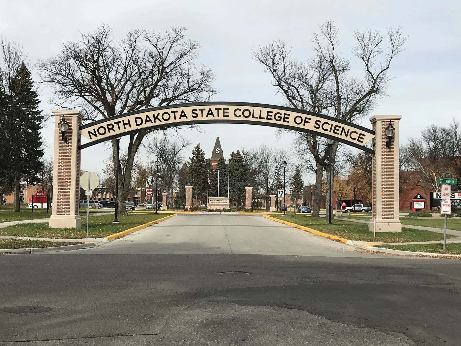
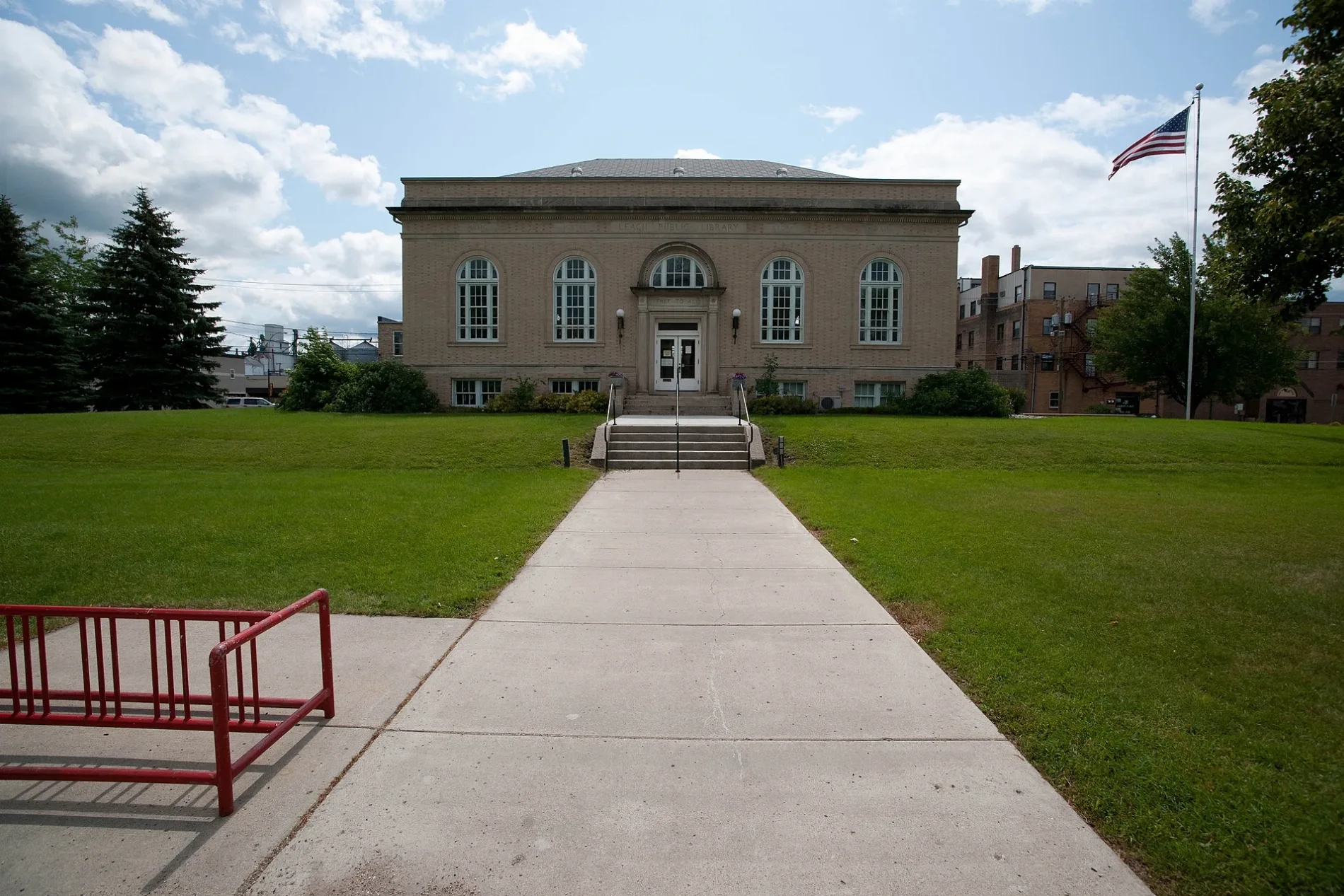
Streets in Wahpeton, North Dakota
Streets
12th Street South
Loy Avenue
Red River Court
21st Avenue North
3 1/2 Street North
5th Street North
1st Street South
Center Drive
7 1/2 Street
1st Street Southeast
1st Street North
10th Street North
6th Street North
Wheatland Road
Wahpeton Indian School
Harrison Road
Parkway Drive
8th Avenue North
Vantura Drive
Maple Court
10 1/2 Street North
Dakota Avenue
17th Avenue North
10th Street South
Industrial Avenue
9 South Drive
14th Street North
8th Avenue South
13th Avenue North
16th Avenue North
14 1/2 Avenue North
10th Avenue
4th Street North
8 1/2 Avenue
Rest Way
15th Street North
23rd Avenue North
5th Avenue North
Richland Street
11th Avenue North
14th Avenue North
Tahona Drive
Oak Court
4th Street South
West Drive
10th Avenue North
State School of Science
5th Avenue South
210 Drive
11th Avenue South
5th Street South
25th Avenue North
Concord Court
13th Street North
Woodland Drive
9th Street North
Center Street North
Wash Way
Husky Avenue
13th Street South
Prairie-Wood Court
3rd Street North
2nd Street North
R J Hughes DriveChahinkapa Park Campground
19th Avenue
Center Street South
Evergreen Court
East Drive
2nd Avenue North
18th Avenue North
Walnut Court
2nd Street South
3rd Street South
Westmore Avenue
2nd Avenue South
3rd Avenue NorthWahpeton
9th Avenue South
7th Street North
9 1/2 Street North
Street B
7th Avenue North
Street C
7th Street South
8th Street North
3rd Avenue South
6th Avenue North
7th Avenue South
15th Avenue North
Valley Street
Dabill DriveKidder Rec Area
8th Street South
Cottonwood Court
11th Street North
6th Avenue South
7th Avenue Southwest
4th Avenue North
Avenue A
Avenue B
1st Avenue North
22nd Avenue North
12th Street North
Western Road
Fargo Avenue
Spruce Drive
4th Avenue South
1st Avenue South
18th Avenue
State Highway 13
Minnesota Avenue
6th Street South
7th Avenue Southeast
Oakwood Avenue
11th Street South
North Dakota 210
Linden CourtApartment buildings
Bleachers
Buildings
Campgrounds
Cemeteries
Convenience stores
Dormitories
Fast food restaurants
Fitness centers
Hangars
Libraries
Motels
Railways
Recreation grounds
Residential buildings
Restaurants
School buildings
Service buildings
Sports centers
Technical colleges
Zoos
 Public transit map Wahpeton Legend
| Railway | |
| Bus | |
| Streetcar |
 Bicycle map Wahpeton Legend
| Bike path | |
| Bike lane on roadway | |
| Cycling allowed on bus lane | |
| Bicycle street | |
| Open to cyclists | |
| Open to cyclists, good path | |
| Cycling prohibited | |
| Cobblestone |
| Long-distance bike route | (depending on scale) | |
| Long-distance bike route |
 Pedestrian map Wahpeton Legend
| Path |
| Long-distance hiking trail | (depending on scale) | |
| Long-distance hiking trail | ||
| Pedestrians prohibited |