
Fargo Avenue in Wahpeton, North Dakota
Fargo Avenue in Wahpeton is a service road. It runs in an east-west direction starting from 8th Street South and crosses 7th Street South and ends at 6th Street South.
- Road Type
- service road
- Route
- east-west
Image
Streets nearby
7th Street South200 ft
8th Street North0.1 mi
8th Street South0.1 mi
2nd Avenue North0.1 mi
1st Avenue North0.2 mi
9th Street North0.2 mi
5th Street North0.2 mi
3rd Avenue NorthWahpeton
0.2 mi
6th Street North0.2 mi
3rd Avenue South0.2 mi
4th Avenue North0.3 mi
6th Street South0.3 mi
11th Street South0.3 mi
3rd Street South0.3 mi
2nd Avenue South0.3 mi
6th Avenue South0.4 mi
5th Avenue South0.4 mi
1st Street South0.4 mi
Dakota Avenue0.4 mi
3rd Street North0.4 mi
1st Street North0.4 mi
7th Avenue South0.4 mi
8th Avenue South0.5 mi
5th Avenue North0.5 mi
10th Street South0.5 mi
5th Street South0.5 mi
9th Avenue South0.5 mi
Minnesota Avenue0.5 mi
7th Avenue Southwest0.6 mi
4th Street South0.6 mi
2nd Street South0.6 mi
1st Street Southeast0.6 mi
11th Avenue South0.7 mi
10th Avenue0.7 mi
Center Street South0.7 mi
Fast food restaurants nearby
Taco John's0.1 mi
Domino's0.2 mi
Burger King0.2 mi
Subway0.3 mi
Libraries nearby
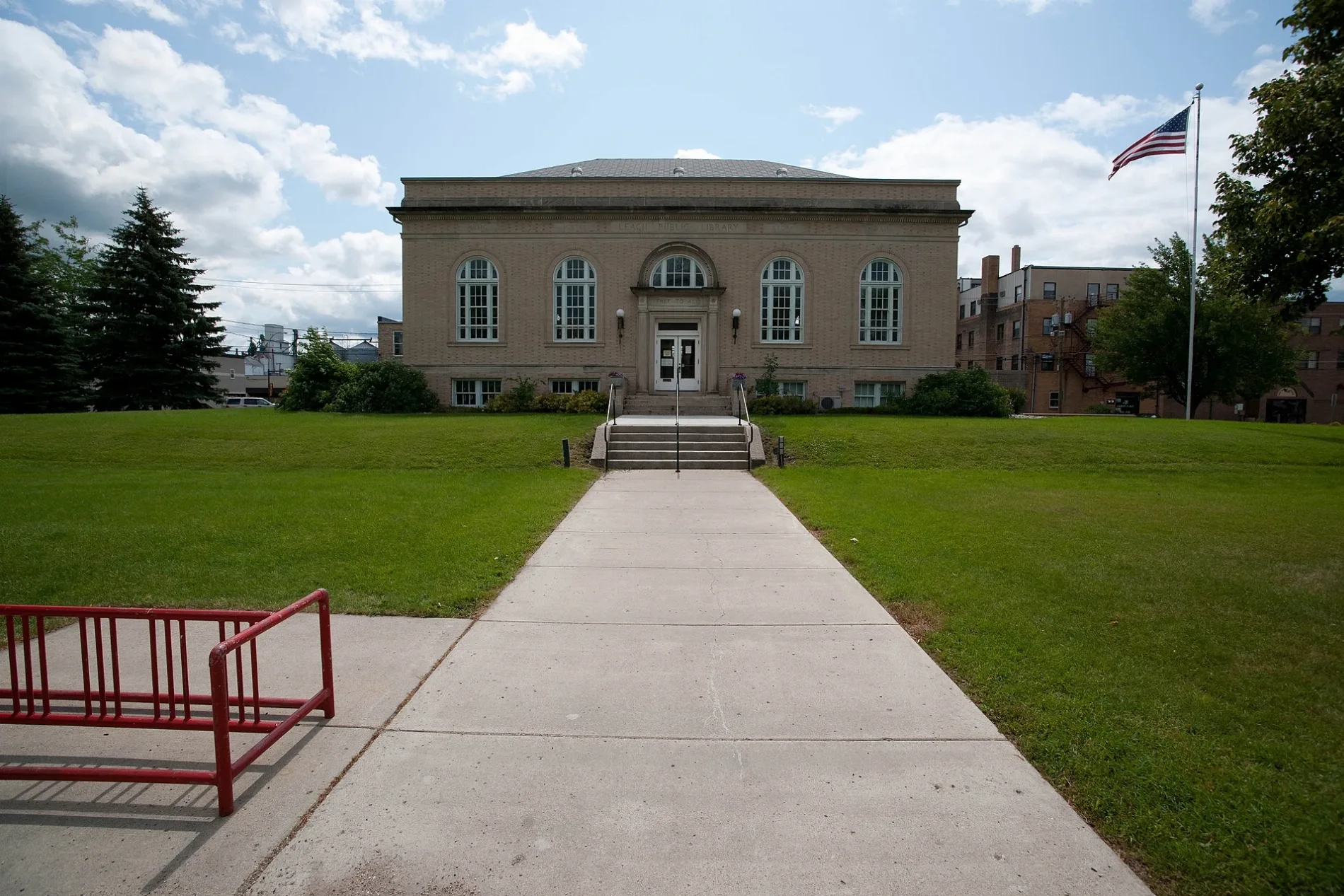
Leach Public Library0.2 mi
Motels nearby
Starlite Motel0.3 mi
Parks nearby
Waters of the Red River Park0.5 mi
Welles Park0.6 mi
Railways nearby
BNSF Moorhead Subdivision0.4 mi
Restaurants nearby
Wahpeton Deli350 ft
Hart's Hub0.1 mi
El Toro Mexican0.1 mi
Fryn' Pan0.3 mi
Rivers nearby
Bois de Sioux River0.5 mi
 Public transit map Wahpeton Legend
| Railway | |
| Bus | |
| Streetcar |
 Bicycle map Wahpeton Legend
| Bike path | |
| Bike lane on roadway | |
| Cycling allowed on bus lane | |
| Bicycle street | |
| Open to cyclists | |
| Open to cyclists, good path | |
| Cycling prohibited | |
| Cobblestone |
| Long-distance bike route | (depending on scale) | |
| Long-distance bike route |
 Pedestrian map Wahpeton Legend
| Path |
| Long-distance hiking trail | (depending on scale) | |
| Long-distance hiking trail | ||
| Pedestrians prohibited |