
7 1/2 Street in Wahpeton, North Dakota
7 1/2 Street in Wahpeton is a single-lane, unpaved track and it runs in a north-south direction.
- Road Type
- track
- Lanes
- 1
- Route
- north-south
Image
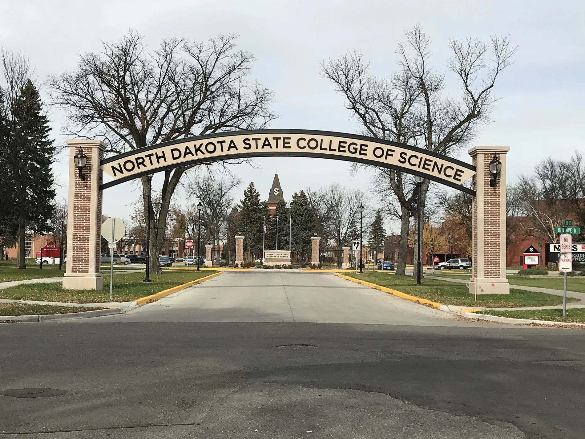
Streets nearby
8th Street North250 ft
8th Avenue North500 ft
10th Avenue NorthState School of Science
0.1 mi
Street B0.2 mi
11th Avenue North0.2 mi
5th Street North0.2 mi
Street C0.2 mi
Wahpeton Indian School0.2 mi
6th Avenue North0.2 mi
9 1/2 Street North0.2 mi
7th Avenue North0.3 mi
Westmore Avenue0.3 mi
9th Street North0.3 mi
9 South Drive0.3 mi
10 1/2 Street North0.3 mi
5th Avenue North0.3 mi
Avenue A0.3 mi
4th Avenue North0.4 mi
3rd Avenue NorthWahpeton
0.4 mi
6th Street North0.4 mi
Evergreen Court0.5 mi
Buildings nearby
Administration Building500 ft
Sequoya Hall550 ft
Keeble Dormitory0.2 mi
Sacajawea Hall0.2 mi
Facilities0.2 mi
Canteen Center0.2 mi
Pemmican Dining Hall0.2 mi
Bus Garage0.2 mi
Cultural Building0.2 mi
Curtis Shop0.2 mi
Staff Housing0.3 mi
Cemeteries nearby
Fairview Cemetery0.3 mi
Dormitories nearby
Riley Hall350 ft
Schulz Hall400 ft
Walton Hall400 ft
Forkner Hall450 ft
McMahon Hall0.2 mi
Satterlee Hall0.2 mi
Parks nearby
NDSCS Park500 ft
School buildings nearby
Zimmerman Elementary School0.2 mi
Technical colleges nearby
NDSCS Cultural Center0.1 mi
NDSCS Student Center0.1 mi
Haverty Hall0.2 mi
Old Main0.2 mi
Central Heating Plant0.2 mi
Horton Hall0.2 mi
Babcock Hall0.2 mi
Ballweber Hall0.2 mi
Public transit map Wahpeton Legend
| Railway | |
| Bus | |
| Streetcar |
Bicycle map Wahpeton Legend
| Bike path | |
| Bike lane on roadway | |
| Cycling allowed on bus lane | |
| Bicycle street | |
| Open to cyclists | |
| Open to cyclists, good path | |
| Cycling prohibited | |
| Cobblestone |
| Long-distance bike route | (depending on scale) | |
| Long-distance bike route |
Pedestrian map Wahpeton Legend
| Path |
| Long-distance hiking trail | (depending on scale) | |
| Long-distance hiking trail | ||
| Pedestrians prohibited |