
West 6th Street in Dickinson, North Dakota
West 6th Street in Dickinson is a residential street. It runs in an east-west direction starting from 11th Avenue West and crosses 10th Avenue West, 9th Avenue West, 8th Avenue West, 7th Avenue West, 6th Avenue West, 5th Avenue West, 4th Avenue West, 3rd Avenue West, Park Avenue, 2nd Avenue West and 1st Avenue West. West 6th Street also exists in Hettinger County and Walsh County.
- Road Type
- residential street
- Route
- east-west
Image
Car dealerships
Kindergartens
Pharmacies
Beverage stores
Fire stations
Banks
Fast food restaurants
Libraries
Convenience stores
Places of worship
Massage therapy clinics
Dance schools
Hearing aid centers
Dentist offices
Streets nearby
5th Avenue West0.1 mi
West 7th Street0.2 mi
West 3rd StreetMiracle-Ear, TS Therapeutic Massage, Dickinson Area Public Library
0.2 mi
West 4th StreetFirst Congregational Church
0.2 mi
9th Avenue West0.2 mi
8th Street WestBeauty Bar Salon & Day Spa, Connect Medical Clinic
0.2 mi
4th Avenue West0.2 mi
3rd Avenue WestSimonson Station Stores
0.2 mi
9th Street West0.2 mi
West 9th StreetGreat Plains Clinic, P.C.
0.3 mi
Park Avenue0.3 mi
6th Avenue WestRunnings
0.3 mi
8th Avenue West0.3 mi
7th Avenue West0.3 mi
Campus Drive0.3 mi
10th Avenue West0.3 mi
Fairway StreetRedeemer Lutheran Church, Redeemer Lutheran Preschool, J D's BBQ, Neighbors Bar
0.3 mi
Green Street0.4 mi
1st Street WestCharbonneau Chrysler Center, Charbonneau Car Center, Academy of Dance, Bible Baptist Chuch of Dickinson, Heiser Motors, Kinderkitz, The Hive, Ichiban Ramen, Stevenson Funeral Home, Doller General
0.4 mi
2nd Avenue WestKinderkidz Learning Center, de Porres House of Barbering, Dickinson Fire Station 1
0.4 mi
West 5th Street0.4 mi
Delong Place0.4 mi
West 2nd StreetSaint Patricks Roman Catholic Church, U.S. Bank
0.4 mi
West 8th Street0.4 mi
West 10th Street0.4 mi
12th Avenue West0.4 mi
11th Avenue West0.4 mi
Senior Avenue0.5 mi
Buildings nearby
Prairie West Activity Center0.5 mi
Dormitories nearby
Woods Hall0.2 mi
Selke Hall0.3 mi
Lowman Walton Hall0.4 mi
Delong Hall0.4 mi
Event venues nearby
Stark County Veterans Pavilion0.2 mi
Libraries nearby
Stoxen Library0.3 mi
Parks nearby
Veterans Memorial Park350 ft
Optimist Park0.1 mi
Pine Tree Park0.4 mi
Rocky Butte Park0.5 mi
Places of worship nearby
Saint Johns Lutheran Church0.3 mi
School buildings nearby
Trinity High School0.4 mi
Shelters nearby
King's Pavilion0.3 mi
Shopping malls nearby
St. Joe's Plaza0.4 mi
University buildings nearby
Student Center0.2 mi
May Hall0.3 mi
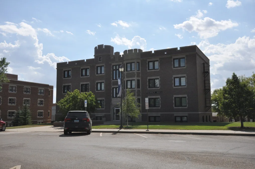
Stickney Hall0.4 mi
Klinefelter Hall0.4 mi
Scott Gymnasium0.4 mi
Wienbergen Hall0.4 mi
 Public transit map Dickinson Legend
| Railway | |
| Bus | |
| Streetcar |
 Bicycle map Dickinson Legend
| Bike path | |
| Bike lane on roadway | |
| Cycling allowed on bus lane | |
| Bicycle street | |
| Open to cyclists | |
| Open to cyclists, good path | |
| Cycling prohibited | |
| Cobblestone |
| Long-distance bike route | (depending on scale) | |
| Long-distance bike route |
 Pedestrian map Dickinson Legend
| Path |
| Long-distance hiking trail | (depending on scale) | |
| Long-distance hiking trail | ||
| Pedestrians prohibited |