
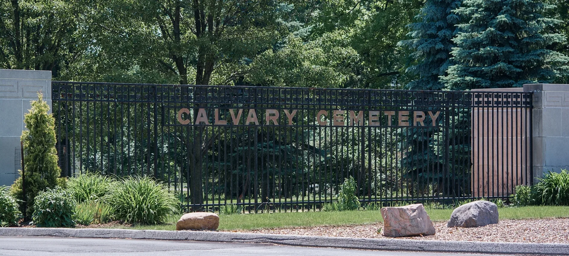
Calvary Cemetery in Garfield Heights, Ohio
Calvary Cemetery in Garfield Heights is a cemetery (Elevation 252 m). Ⓦ.
- Land Use
- cemetery
Image
Convenience stores
Gas stations
Shelters
Hair salons
Variety stores
Schools
Restaurants
Places of worship
Banks
Thrift stores
Fast food restaurants
Picnic areas
Recycling stations
Auto repair shops
Supermarkets
Cafes
Streets nearby
East 126th StreetTrinity High School
0.2 mi
Melgrove Avenue0.3 mi
Martin Luther King Junior Boulevard0.3 mi
Henry Street0.4 mi
Chaincraft Road0.4 mi
East Drive0.4 mi
Puritan Avenue0.4 mi
Iron Springs Loop Trail0.4 mi
Beachwood Avenue0.5 mi
East 131st StreetMunchies 131, Subway, East Side Eats
0.5 mi
Saybrook Avenue0.5 mi
Alvin Avenue0.5 mi
Cranwood Park Boulevard0.5 mi
Christine AvenueGranwood School, Cranwood Elementary School
0.5 mi
Forestdale Drive0.5 mi
Thornhurst Avenue0.5 mi
Service Court0.5 mi
South Parkway Drive0.5 mi
Jesse Avenue0.6 mi
Hoy Avenue0.6 mi
East 116th StreetEast 116th, Your Silence Will Not Save You, Cleveland Cinematheque, Lee's Seafood Boil, Things Change, Sweet Kiddles University Circle, The Grind Shop
0.6 mi
East 119th StreetLittle Italy–University Circle
0.6 mi
Robertson Avenue0.6 mi
Lawrence Avenue0.6 mi
Rexwood Avenue0.6 mi
Hillside Avenue0.6 mi
East 128th Street0.6 mi
Broadway AvenueA&H Auto Body
0.6 mi
Hlavin Avenue0.6 mi
North Drive0.7 mi
East 135th Street0.7 mi
Beechgrove Avenue0.7 mi
Cooper Court0.7 mi
Bartlam Avenue0.7 mi
East 139th Street0.7 mi
East 136th Street0.7 mi
East 124th Street0.7 mi
Garrett A. Morgan Place0.7 mi
East 133rd Street0.7 mi
East 134th StreetRainier Grocery
0.7 mi
East 130th StreetT&J Beverage, Shaker Square Hungarian Baptist Church
0.7 mi
Miles AvenueTriumph Church of the New Age, Valley Transmission, Butler's Automotive, Miles Park Historic District, Shaffer United Methodist Church, Sunlight Baptist Church, Apostolic Church of God, Twentysecond United Presbyterian Church, Miles Avenue Church of Christ, Affinity Missionary Baptist Church
0.7 mi
Caine-East 131st Loop0.7 mi
Caine Avenue0.8 mi
Railways nearby
Cleveland Subdivision0.3 mi
NS Cleveland Line0.6 mi
Shelters nearby
Red Oak Reserved Picnic Area0.5 mi
Variety stores nearby
Dollar Tree0.7 mi
Dollar General0.7 mi
| Year built | 1893 |
|---|---|
| Located in | Cleveland |
| Country | United States |
| Website | https://www.clecem.org/Cemetery/CalvaryCleveland.aspx |
 Public transit map Garfield Heights Legend
| Railway | |
| Bus | |
| Streetcar |
 Bicycle map Garfield Heights Legend
| Bike path | |
| Bike lane on roadway | |
| Cycling allowed on bus lane | |
| Bicycle street | |
| Open to cyclists | |
| Open to cyclists, good path | |
| Cycling prohibited | |
| Cobblestone |
| Long-distance bike route | (depending on scale) | |
| Long-distance bike route |
 Pedestrian map Garfield Heights Legend
| Path |
| Long-distance hiking trail | (depending on scale) | |
| Long-distance hiking trail | ||
| Pedestrians prohibited |