
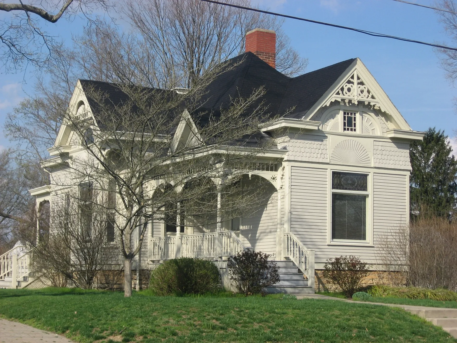
West Mulberry Street in Lebanon, Ohio
West Mulberry Street in Lebanon is a residential street. It runs in an east-west direction starting from North West Street and crosses South West Street, Ross Street, South Harrison Street, North Harrison Street, Coyne Street, Blackburn Street, Sage Street, North Corwin Street, South Corwin Street, North Water Street and South Water Street. West Mulberry Street also exists in Fairfield County, Ashtabula County, Auglaize County, Adams County and Henry County.
- Road Type
- residential street
- Route
- east-west
Image
Cafes
Gift shops
Antique stores
Outdoor stores
Pastry shops
Museums
- Glendower Museum (Web) – approx. 0.4 mi.
Places of worship
Pet grooming salons
Bookstores
Schools
Restaurants
Hair salons
Craft stores
Candy stores
Sewing supply stores
Theaters
Streets nearby
Blackburn Street100 ft
Sage Street150 ft
Coyne Street200 ft
North Corwin Street350 ft
South Harrison Street400 ft
North Harrison Street400 ft
Clay Street400 ft
Ross StreetWest Baptist Church, Bible Church of God
400 ft
South Corwin Street500 ft
South Water Street0.1 mi
North West Street0.1 mi
Hunter Street0.1 mi
Canal Street0.1 mi
West Street0.2 mi
West Warren Street0.2 mi
North Sycamore Street0.2 mi
South West Street0.2 mi
South Sycamore Street0.2 mi
Norman Lane0.2 mi
Johnson Court0.2 mi
Farview Avenue0.2 mi
Harper Street0.2 mi
Berry Street0.2 mi
West Main Street0.3 mi
West Silver StreetCalvary Baptist Church
0.3 mi
West South StreetMiller's Antique Mall
0.3 mi
East Silver StreetLebanon, East End Historic District
0.3 mi
East Main StreetA Man's Place, Lebanon Electric Supply
0.3 mi
Cincinnati Avenue0.3 mi
Keever Street0.3 mi
North Water Street0.3 mi
East Warren StreetLebanon Christian Schools - Middle / High School
0.3 mi
North Broadway StreetYour World On Canvas, BrickHouse on Broadway Personalized Gift Shop
0.3 mi
South Broadway StreetFloraville Historic District, Golden Lamb Inn, Whit's Frozen Custard
0.3 mi
Pleasant StreetZion Baptist Church, North Broadway Historic District
0.4 mi
Oakwood Avenue0.4 mi
Franklin Road0.4 mi
Harmon Avenue0.5 mi
Banks nearby
LCNB0.3 mi
Fifth Third Bank0.3 mi
Buildings nearby
Lebanon Brewing Company0.2 mi
LCNB Corporate Headquarters0.3 mi
Nixon-Brant House0.3 mi
Cemeteries nearby
Pioneer Cemetery0.1 mi
Libraries nearby
Lebanon Public Library0.3 mi
Museums nearby
Warren County Museum0.3 mi
Post offices nearby
Lebanon Post Office0.3 mi
Railways nearby
Lebanon Subdivision0.2 mi
Town halls nearby
Lebanon City Hall0.3 mi
 Public transit map Lebanon Legend
| Railway | |
| Bus | |
| Streetcar |
 Bicycle map Lebanon Legend
| Bike path | |
| Bike lane on roadway | |
| Cycling allowed on bus lane | |
| Bicycle street | |
| Open to cyclists | |
| Open to cyclists, good path | |
| Cycling prohibited | |
| Cobblestone |
| Long-distance bike route | (depending on scale) | |
| Long-distance bike route |
 Pedestrian map Lebanon Legend
| Path |
| Long-distance hiking trail | (depending on scale) | |
| Long-distance hiking trail | ||
| Pedestrians prohibited |