
1st Avenue East in Albany, Oregon
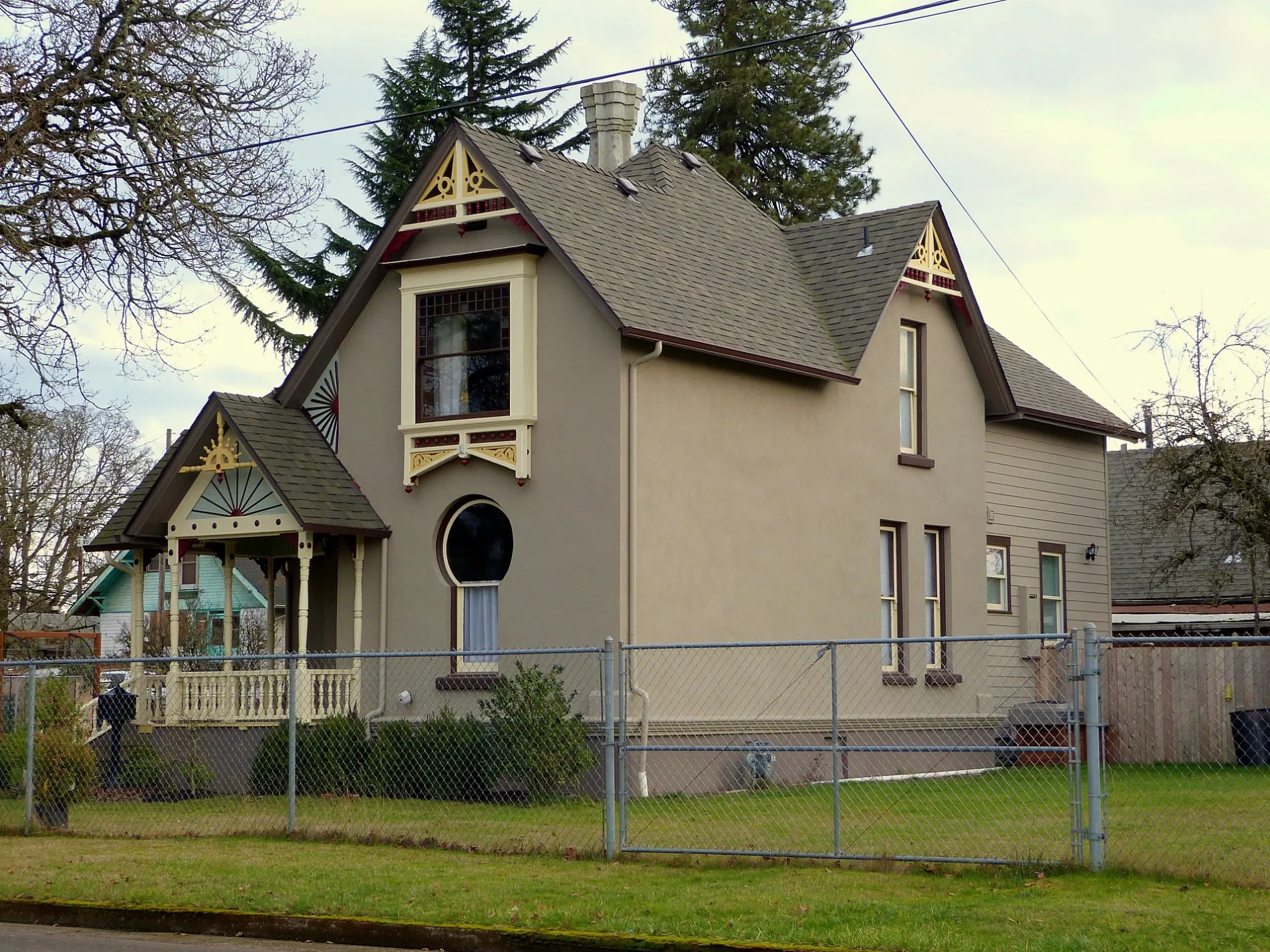
1st Avenue East in Albany is a residential street. It runs in an east-west direction starting from 1st Avenue West and crosses Lyon Street South;Albany-Corvallis Highway, Baker Street Northeast, Baker Street Southeast, Montgomery Street Northeast, Montgomery Street Southeast, Railroad Street Southeast, Jackson Street Northeast, Jackson Street Southeast, Jefferson Street Northeast, Jefferson Street Southeast and Thurston Street Southeast. This street is part of the Bicycle route "Willamette Valley Scenic Bikeway". Nearby you can find a furniture store, a carpet store and a specialty store.
- Road Type
- residential street
- Route
- east-west
Image
Furniture stores
Specialty stores
Streets nearby
Burkhart Street Southeast200 ft
Burkhart Street Northeast350 ft
Alco Street Southeast400 ft
Alco Street Northeast450 ft
Columbus Street Northeast500 ft
East Water Avenue500 ft
Salem Avenue SoutheastPepper Tree Sausage, King Kone, Stop N Save Market
0.1 mi
Chicago Street Northeast0.1 mi
2nd Avenue SoutheastShift Electric Vehicles, Linger Longer, Seven Eleven, Fish of Albany, Super Thrift
0.1 mi
Chicago Street Southeast0.1 mi
Clay Street SoutheastBi-Mart, Clay St at Heritage Mall
0.2 mi
Willamette Avenue Northeast0.2 mi
4th Avenue SoutheastWaverly Elementary School, Albany Christian School
0.2 mi
Davidson Street Northeast0.2 mi
5th Avenue Southeast0.2 mi
Linn Avenue Northeast0.2 mi
Geary Street Northeast0.2 mi
Denver Street Northeast0.2 mi
Bradley Street Southeast0.2 mi
6th Avenue Southeast0.3 mi
Cleveland Street Southeast0.3 mi
Mason Street Southeast0.3 mi
Cleveland Street Northeast0.3 mi
Columbus Street SoutheastColumbus / Columbus Place
0.3 mi
Ermine Street Southeast0.4 mi
Santiam Road Southeast0.4 mi
Denver Street Southeast0.4 mi
Fulton Street Southeast0.4 mi
8th Avenue Southeast0.4 mi
Davidson Street Southeast0.4 mi
7th Avenue Southeast0.4 mi
9th Avenue SoutheastYummy House
0.4 mi
Geary Street SoutheastSouth Albany Community Church, Panda Express
0.5 mi
Pacific Boulevard SoutheastWaverly Cleaners, Subway, Albany Liquor, Carniceria Los Compadres, Roger's Restaurant, U.S. Tactical Supply
0.5 mi
Santiam Highway SoutheastBurgerville, Fred Meyer Fuel, Elmer's, Dutch Bros. Coffee
0.5 mi
Cafes nearby
Brown Cow Coffee0.5 mi
Car dealerships nearby
Mark Thomas Hyandai0.5 mi
Mark Thomas Motors0.5 mi
Drugstores nearby
Walgreens0.5 mi
Fast food restaurants nearby
KFC0.3 mi
Domino's0.3 mi
Jack in the Box0.4 mi
Arby's0.5 mi
Parks nearby
Burkhart Park0.3 mi
Railways nearby
UP Brooklyn Subdivision0.1 mi
Santiam Lead0.2 mi
Recycling centers nearby
BottleDrop Redemption Center0.5 mi
Restaurants nearby
Tacos El Machine0.5 mi
Sizzler0.5 mi
 Public transit map Albany Legend
| Railway | |
| Bus | |
| Streetcar |
 Bicycle map Albany Legend
| Bike path | |
| Bike lane on roadway | |
| Cycling allowed on bus lane | |
| Bicycle street | |
| Open to cyclists | |
| Open to cyclists, good path | |
| Cycling prohibited | |
| Cobblestone |
| Long-distance bike route | (depending on scale) | |
| Long-distance bike route |
 Pedestrian map Albany Legend
| Path |
| Long-distance hiking trail | (depending on scale) | |
| Long-distance hiking trail | ||
| Pedestrians prohibited |