
Southeast Filbert Street in Ardenwald, Oregon
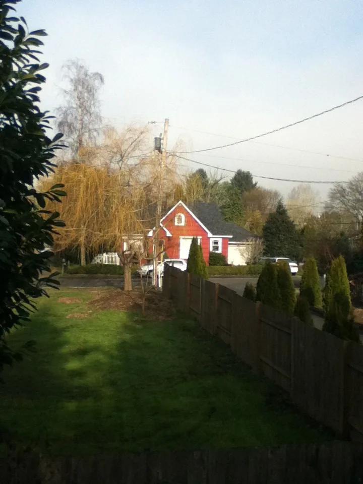
Southeast Filbert Street in Oregon, Ardenwald is an asphalted residential street. The street has no sidewalks. It runs in an east-west direction starting from Southeast 32nd Avenue.
- Road Type
- residential street
- Speed Limit
- 20 mph
- Route
- east-west
Image
Convenience stores
Auto repair shops
Stops
Bus stops
Artworks
Bakeries
Restaurants
Light rail stops
Self storages
Streets nearby
Southeast Hazel Street0.1 mi
Southeast 38th Avenue0.1 mi
Southeast Wake Street0.1 mi
Southeast 39th Avenue0.1 mi
Southeast 37th Avenue0.2 mi
Southeast Roswell StreetRoswell Market
0.2 mi
Southeast Wake Court0.2 mi
Southeast Rockwood Street0.2 mi
Southeast Howe Street0.2 mi
Southeast 34th Court0.3 mi
Southeast Sherry Lane0.3 mi
Southeast 40th Avenue0.3 mi
Southeast Meadowcrest Court0.3 mi
Southeast Covell Street0.3 mi
Southeast Van Waters Court0.3 mi
Southeast 43rd Avenue0.3 mi
Southeast 32nd AvenueArdenwald, Southeast 32nd & Van Water, Southeast 32nd & Furat Court, Southeast 32nd & Floss, Southeast 32nd & Malcolm, Southeast 32nd & Olsen, Southeast 32nd & Johnson Creek, Southeast 32nd & Meek, Southeast 32nd & Harvey, Southeast 32nd & Hillside, Esther's Pantry, Tod's Corner, NAMI Clackamas, Northwest ENT and Allergy, Magnolia Thai Restaurant
0.3 mi
Southeast 35th Avenue0.3 mi
Southeast 33rd Avenue0.3 mi
Southeast Barba Street0.3 mi
Southeast 43rd Court0.3 mi
Southeast Floss Street0.3 mi
Southeast 36th Avenue0.3 mi
Southeast 34th Avenue0.3 mi
Southeast 41st Avenue0.4 mi
Southeast 42nd AvenueSoutheast 42nd & Llewellyn
0.4 mi
Southeast Mary Court0.4 mi
Southeast Kathryn Court0.4 mi
Southeast Harvey Street0.4 mi
Southeast 29th Avenue0.4 mi
Southeast Olsen StreetMilwaukie Cafe and Bottle Shop, Southeast 32nd & Olsen, Eric's Market
0.4 mi
Southeast Balfour Street0.4 mi
Southeast Boyd Street0.4 mi
Southeast Kelvin Street0.4 mi
Southeast Malcolm Street0.4 mi
Southeast Dwyer Drive0.5 mi
Southeast Johnson Creek BoulevardSoutheast Johnson Creek & 36th, Panadería Mexicana Cinco de Mayo, Southeast Johnson Creek & 32nd, Corner Market of PDX, Southeast Johnson Creek & Springwater Corridor
0.5 mi
Southeast Harney Court0.5 mi
Southeast Van Water Street0.5 mi
Southeast B Street0.5 mi
Southeast 31st Avenue0.5 mi
Southeast Furat Court0.5 mi
Southeast 30th Avenue0.5 mi
Southeast Sherrett Street0.5 mi
Convenience stores nearby
Eric's Market0.3 mi
Parks nearby
Ardenwald Park0.3 mi
Water Tower Park0.3 mi
Balfour Park0.4 mi
Railways nearby
UP Brooklyn Subdivision0.6 mi
 Public transit map Ardenwald Legend
| Railway | |
| Bus | |
| Streetcar |
 Bicycle map Ardenwald Legend
| Bike path | |
| Bike lane on roadway | |
| Cycling allowed on bus lane | |
| Bicycle street | |
| Open to cyclists | |
| Open to cyclists, good path | |
| Cycling prohibited | |
| Cobblestone |
| Long-distance bike route | (depending on scale) | |
| Long-distance bike route |
 Pedestrian map Ardenwald Legend
| Path |
| Long-distance hiking trail | (depending on scale) | |
| Long-distance hiking trail | ||
| Pedestrians prohibited |