
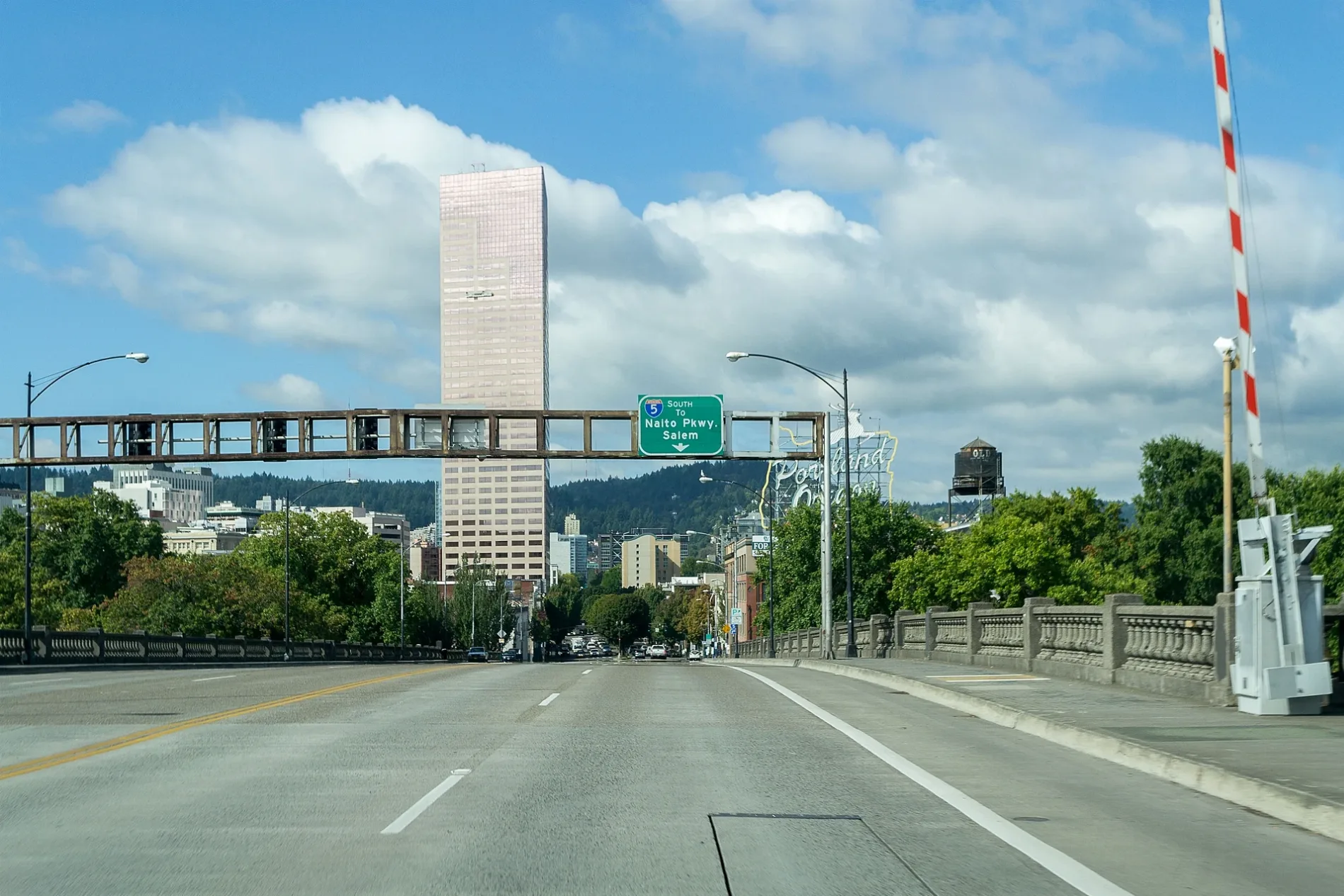
West Burnside Road in Arlington Heights, Portland, Oregon
West Burnside Road in Arlington Heights in Portland is a four-lane, asphalted main road. It runs in an east-west direction starting from Southwest Barnes Road and crosses Northwest Skyline Boulevard, Northwest 48th Avenue, Southwest Fischer Lane, Northwest Barnes Road, Northwest Hermosa Boulevard, Southwest Tichner Drive and Northwest Macleay Boulevard and ends at West Burnside Street. It connects Forest Park, Arlington Heights, Hillside and Portland. This street is part of the highway "Burnside Road". The nearest stop is West Burnside & Southwest Tichner. The bus lines 18 and 20 serve this stop. Ⓦ.
- Road Type
- main road
- Bicycle
- yes
- Speed Limit
- 35 mph
- Lanes
- 4
- Route
- east-west
Image
Bus stops
- bus lines 18, 20
Streets nearby
Southwest Rutland Terrace350 ft
Northwest Calumet Terrace400 ft
West Burnside RoadWest Burnside & Northwest Macleay, West Burnside & Northwest Hermosa, West Burnside & Northwest Barnes, West Burnside & Southwest 48th Drive, West Burnside & Southwest Fischer Lane, 4600 Block West Burnside
450 ft
Northwest Imperial Terrace500 ft
Southwest Tichner Drive550 ft
Northwest Santanita Terrace550 ft
Southwest Parkside Lane0.1 mi
Southwest Kingston AvenueSouthwest Kingston & Tichner
0.1 mi
Northwest Beuhla Vista TerraceNorthwest Macleay & Beuhla Vista
0.1 mi
Northwest Rainier Terrace0.1 mi
Northwest Monte Vista Terrace0.1 mi
Southwest Parkside Drive0.2 mi
Southwest Marconi Avenue0.2 mi
Northwest Lomita Terrace0.2 mi
Southwest Champlain Drive0.2 mi
Northwest Hermosa Boulevard0.2 mi
Northwest Macleay BoulevardNorthwest Macleay & West Burnside, Hillside, Northwest Macleay & Hermosa, Northwest Macleay & Lomita Terrace
0.2 mi
Southwest Park PlaceSouthwest Park Place & Wright
0.2 mi
Northwest Ariel Terrace0.2 mi
Southwest Rose Garden WaySouthwest Rose Garden Way & Sherwood, Southwest Rose Garden Way & Wright
0.2 mi
Southwest Wright Avenue0.2 mi
Southwest Washington Way0.2 mi
Northwest Mildred Street0.2 mi
Northwest Albemarle Terrace0.2 mi
Northwest Roanoke Street0.3 mi
Northwest Melinda Avenue0.3 mi
Northwest Culpepper Terrace0.3 mi
Southwest Sherwood BoulevardOlmsted View
0.3 mi
Northwest Maywood DriveWest Burnside & Northwest Maywood Drive
0.3 mi
Northwest Uptown TerraceHilltop Condominium
0.3 mi
Stearns Road Trail0.3 mi
Northwest Marlborough Avenue0.3 mi
Northwest Westover Square0.3 mi
Southwest Murray Street0.3 mi
Southwest Sterns Drive0.3 mi
Northwest Westover Terrace0.3 mi
MAC Trail0.3 mi
Northwest Westover Circle0.4 mi
West Burnside StreetWest Burnside & Southwest Osage, Loyal B. Stearns Memorial, Unleashed, West Burnside & Northwest 19th, West Burnside & Southwest 18th, Howard's Way, The Soop, Mox Boarding House, West Burnside & Northwest 20th Place, West Burnside & Southwest 20th, Kingston Bar and Grill, Psychic of PDX, Big Frog, Yokai Musubi, Hammer + Vine, Pizza Kat, West Burnside & Northwest 23rd, WaFd Bank, West Burnside & Northwest 24th Place, Marathon Taverna, Commodore Lounge, The Great North, Wildwood Saloon, West Burnside & Northwest King, West Burnside & Southwest 21st, Sip City Spirits + Wine + Beer, West Burnside & Southwest Street Clair, Koru Health and Hearing, Cannabliss & Co, Pitman Family Dentistry
0.4 mi
Southwest Sacajawea BoulevardSouthwest Sacajawea & Sherwood
0.4 mi
Southwest Lewis And Clark CircleChiming Fountain, Free Shuttle Stop
0.4 mi
Southwest Osage StreetChase, Zupan's, Caffe Umbria
0.4 mi
Northwest 24th PlaceCarbon Salon
0.4 mi
Apartment buildings nearby
Cactus Annex0.4 mi
Parks nearby
Hillside Park0.2 mi
Residential areas nearby
Westover Terraces0.3 mi
The Westover0.4 mi
Hilltop Condominiums0.4 mi
Westover Square0.4 mi
Waters nearby
City of Portland Reservoir Number 30.3 mi
| Located in | Portland |
|---|---|
| Country | United States |
Public transit map Arlington Heights Legend
| Railway | |
| Bus | |
| Streetcar |
Bicycle map Arlington Heights Legend
| Bike path | |
| Bike lane on roadway | |
| Cycling allowed on bus lane | |
| Bicycle street | |
| Open to cyclists | |
| Open to cyclists, good path | |
| Cycling prohibited | |
| Cobblestone |
| Long-distance bike route | (depending on scale) | |
| Long-distance bike route |
Pedestrian map Arlington Heights Legend
| Path |
| Long-distance hiking trail | (depending on scale) | |
| Long-distance hiking trail | ||
| Pedestrians prohibited |