
West Burnside Road in Portland, Oregon
West Burnside Road in Portland is a four-lane main road. No sidewalks. It runs in an east-west direction starting from Southwest Barnes Road and crosses Northwest Skyline Boulevard, Northwest 48th Avenue, Southwest Fischer Lane, Northwest Barnes Road, Northwest Hermosa Boulevard, Southwest Tichner Drive and Northwest Macleay Boulevard and ends at West Burnside Street. It connects Forest Park, Arlington Heights, Hillside and Portland. This street is part of the highway "Burnside Road". Ⓦ.
- Road Type
- main road
- Bicycle
- yes
- Speed Limit
- 40 mph
- Lanes
- 4
- Route
- east-west
Image
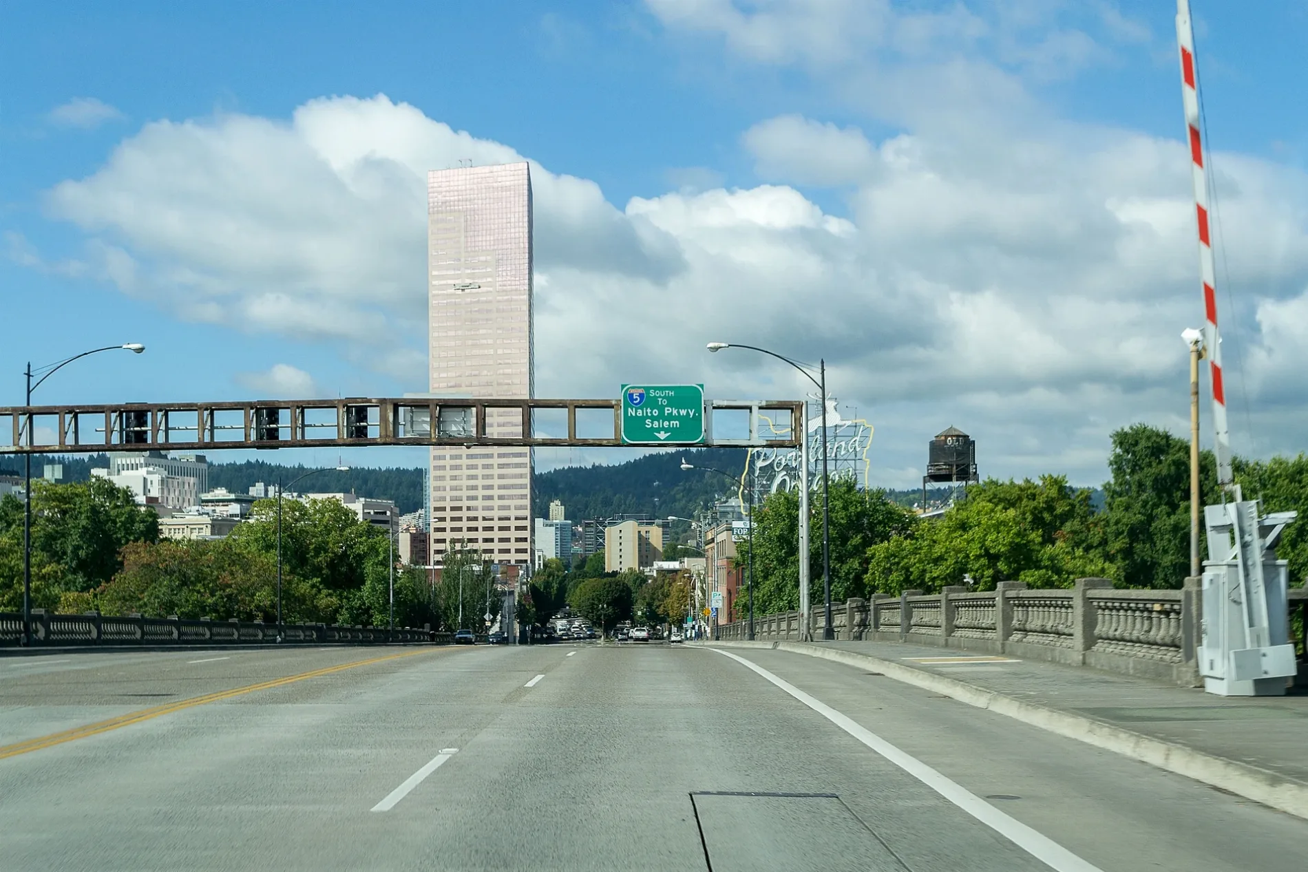
Streets nearby
Southwest 67th Place300 ft
Southwest Sean Michael Place350 ft
Southwest 68th Terrace500 ft
Southwest Breeze Court0.1 mi
Southwest Windemere Loop0.1 mi
Southwest Mariah Street0.1 mi
Southwest 70th Terrace0.2 mi
Southwest Curran Daniel Lane0.2 mi
Southwest Barnes Court0.2 mi
Southwest Shaker Place0.2 mi
Southwest Santana Place0.2 mi
West Burnside RoadWest Burnside & Mount. Calvary Cemetery, West Burnside & Mount Calvary Cemetery
0.2 mi
Southwest 68th Avenue0.2 mi
Southwest 61st Drive0.2 mi
Southwest Viewmont Drive0.2 mi
Southwest Mayway Street0.2 mi
Southwest Catlin Crest DriveSouthwest Barnes & Miller
0.2 mi
Southwest Regency Terrace0.3 mi
Southwest 61st Court0.3 mi
Southwest Barnes Road9300 Block Southwest Barnes, 8200 Block Southwest Barnes (Art School), Cornell Farm Cafe, Southwest Barnes & 84th, Southwest Barnes & Barnes/Burnside, Southwest Barnes & 70th, Southwest Barnes & 88th, 8800 Block Southwest Barnes (Catlin Gabel School), Southwest Barnes & Monterey, Southwest Barnes & Monterey/Street Vincent Hosp Drive, Southwest Barnes & Leahy, Southwest Barnes & Miller
0.3 mi
Southwest Teufel Lane0.3 mi
Southwest Regency Place0.3 mi
Southwest Salmon Street0.3 mi
Southwest Madison Court0.3 mi
Southwest Yamhill Drive0.3 mi
Southwest Taylor Street0.3 mi
Southwest Benham Court0.4 mi
Southwest Eton Court0.4 mi
Southwest Foxfield Court0.4 mi
Southwest Greenwich Drive0.4 mi
Northwest Skyline BoulevardSkyline Tavern, gate 1, gate 2, Skyline Restaurant
0.4 mi
Southwest Summit View Court0.4 mi
Southwest 60th Avenue0.4 mi
Southwest Ascot Court0.4 mi
Southwest Fairfax Place0.4 mi
Southwest Clay Street0.5 mi
Southwest 66th Avenue0.5 mi
Southwest Mill Street0.5 mi
Southwest Canyon CourtDan R. Nafziger, Jay P. Malmquist, Jukka J. Perkiomaki, Pine Tree Pediatric Dentistry
0.5 mi
Amenities nearby
Kids Klubhouse0.3 mi
Construction sites nearby
Barnes Road Pump Station0.3 mi
Dentist's offices nearby
Barnes Dental0.3 mi
Hair salons nearby
Vitality0.3 mi
Industrial areas nearby
Teufel Reservoir0.2 mi
Post offices nearby
PostalAnnex0.3 mi
Residential areas nearby
Commons at Sylvan Highlands0.3 mi
Restaurants nearby
Joy Wok0.3 mi
Retail areas nearby
Barnes-Miller Village0.3 mi
Streams nearby
Sylvan Creek0.3 mi
Veterinary clinics nearby
Forest Heights Veterinary Clinic0.3 mi
| Located in | Portland |
|---|---|
| Country | United States |
Public transit map Portland Legend
| Railway | |
| Bus | |
| Streetcar |
Bicycle map Portland Legend
| Bike path | |
| Bike lane on roadway | |
| Cycling allowed on bus lane | |
| Bicycle street | |
| Open to cyclists | |
| Open to cyclists, good path | |
| Cycling prohibited | |
| Cobblestone |
| Long-distance bike route | (depending on scale) | |
| Long-distance bike route |
Pedestrian map Portland Legend
| Path |
| Long-distance hiking trail | (depending on scale) | |
| Long-distance hiking trail | ||
| Pedestrians prohibited |