
Christy Court in Willamette, West Linn, Oregon
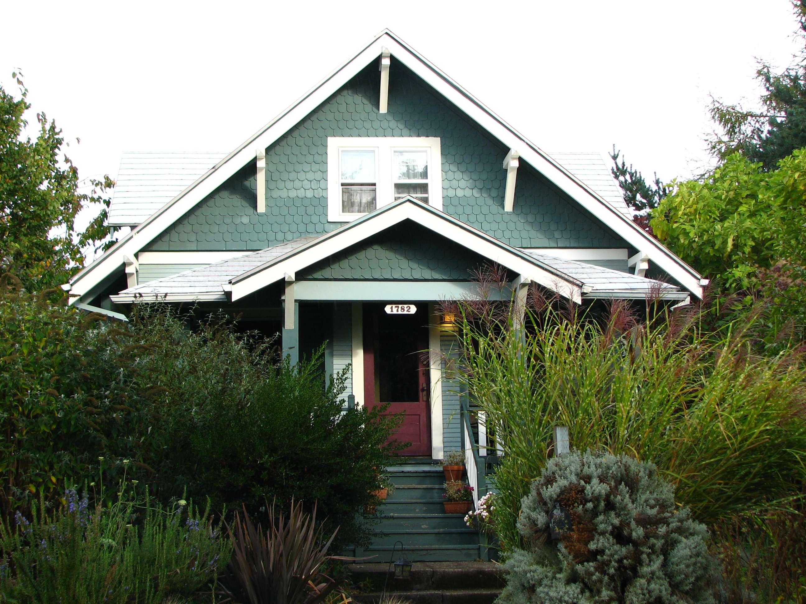
Christy Court in Willamette in West Linn is an asphalted residential street and it runs in an east-west direction and ends at 13th Street, while the other end is a cul-de-sac.
- Road Type
- residential street
- Route
- east-west
Image
Cafes
Pubs
Places of worship
Opticians
Clinics
Restaurants
Bus stops
Tourist information centers
Bike shops
Social facilities
Beauty salons
Gas stations
Streets nearby
April Court400 ft
Timothy Lane0.1 mi
Knapps AlleyWest Linn Food Pantry
0.2 mi
Jamie Circle0.2 mi
16th Street0.2 mi
8th AvenueTwin Nails, 8th Avenue & 13th Street
0.2 mi
6th Avenue0.2 mi
15th Street0.2 mi
Hillhouse Drive0.2 mi
11th Street0.2 mi
Britton Street0.2 mi
13th Street0.2 mi
Dollar StreetWillamette
0.2 mi
5th Avenue0.2 mi
10th StreetSubway, Lux Tan, Providence, 10th Street & 8th Court
0.2 mi
Dodge Way0.2 mi
High Touch Street0.3 mi
Short Street0.3 mi
Sherri Court0.3 mi
8th CourtChevron
0.3 mi
Cheryl Drive0.3 mi
19th Street0.3 mi
Evah Lane0.3 mi
Tualatin Avenue0.3 mi
Kimberly Drive0.3 mi
Willamette Falls DriveWillamette Falls Drive & 19th Street, Willamette Falls Viewpoint, Oregon History, Bellagios Pizza, Willamette Falls Drive & 6th Street, Willamette Meteorite, J. Willys Public House and Eatery, Essence of China, West Linn Saloon, Sushi Bomb, Cayuse Cycles, Nineteen33, Para Juice Bar, La Fiesta Mexican Kitchen, Lil' Cooperstown Bar & Grill, Community of Faith, Allium, Thai Lemon, Lark Café, Willamette Falls Drive & 14th Street
0.3 mi
4th Avenue0.3 mi
12th Street0.3 mi
Jay Court0.3 mi
Katherine Court0.4 mi
14th Street0.4 mi
Leslies Way0.4 mi
Southwest Petes Mountain Road0.4 mi
Banks nearby
Pacific West Bank0.2 mi
Bars nearby
Ale & Cider House0.1 mi
Buildings nearby
Morton0.1 mi
Cafes nearby
Willamette Coffee House0.2 mi
Fast food restaurants nearby
Papa Murphy's0.2 mi
Five Guys0.2 mi
McDonald's0.3 mi
Music schools nearby
Youth Music Project0.2 mi
Nature reserves nearby
River Bluff Open Space0.3 mi
Parks nearby
Willamette Park0.5 mi
Places of worship nearby
Willamette United Methodist Church0.1 mi
Police stations nearby
West Linn Police450 ft
Pubs nearby
McMenamins0.2 mi
Restaurants nearby
Willamette Garage0.1 mi
Retail areas nearby
Willamette Marketplace0.2 mi
Tire dealers nearby
Les Schwab Tire Center0.2 mi
Public transit map Willamette Legend
| Railway | |
| Bus | |
| Streetcar |
Bicycle map Willamette Legend
| Bike path | |
| Bike lane on roadway | |
| Cycling allowed on bus lane | |
| Bicycle street | |
| Open to cyclists | |
| Open to cyclists, good path | |
| Cycling prohibited | |
| Cobblestone |
| Long-distance bike route | (depending on scale) | |
| Long-distance bike route |
Pedestrian map Willamette Legend
| Path |
| Long-distance hiking trail | (depending on scale) | |
| Long-distance hiking trail | ||
| Pedestrians prohibited |