
Northwest Savage Street in Grants Pass, Oregon
Northwest Savage Street in Grants Pass is an asphalted residential street. It runs in an east-west direction starting from Northwest Hawthorne Avenue and crosses Northwest Lawnridge Avenue, Northwest Washington Boulevard, Northwest Conklin Avenue and Northwest 6th Street and ends at Northeast Savage Street.
- Road Type
- residential street
- Route
- east-west
Image
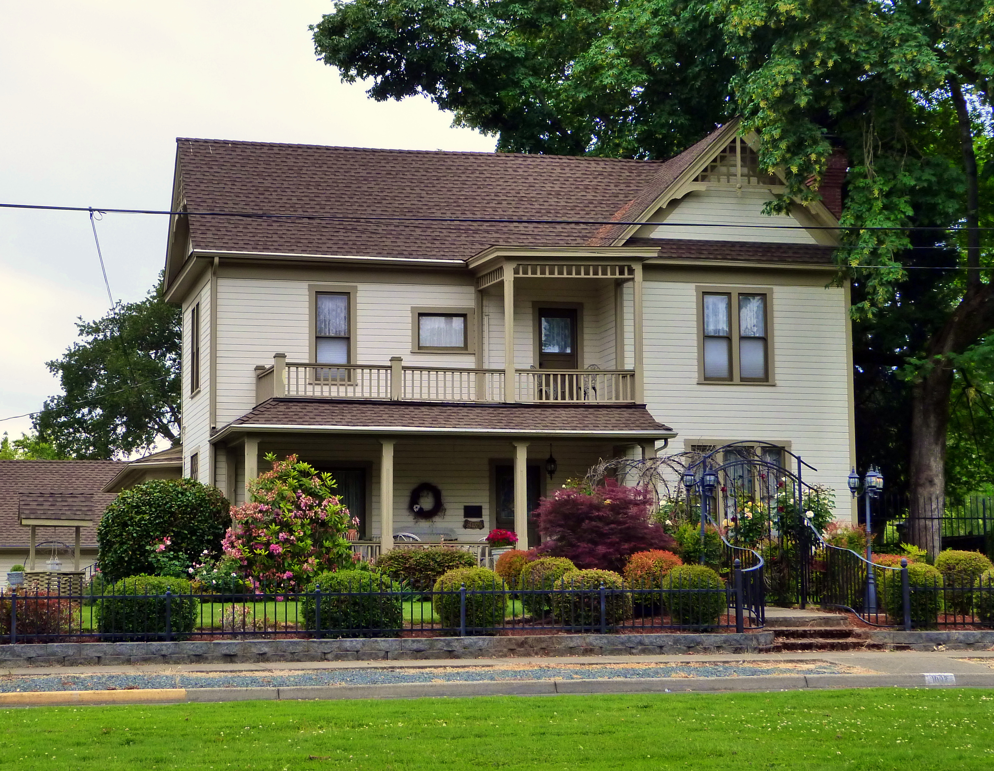
Motels
Variety stores
Car dealerships
Bakeries
Libraries
Music schools
Restaurants
Dentist offices
Gas stations
Music stores
Cafes
Courthouses
Banks
Hotels
Places of worship
Police stations
Fast food restaurants
Hair salons
Streets nearby
Northwest Washington Boulevard0.1 mi
Northwest Manzanita AvenueChevron, Dollar Tree
0.1 mi
Northwest Lawnridge Avenue0.1 mi
Northwest Van Dyke Place0.1 mi
Northwest Hawthorne Avenue0.1 mi
Northwest Conklin Avenue0.1 mi
Northeast Foster Way0.2 mi
Northwest Gilbert Way0.2 mi
Northwest Berry Lane0.2 mi
Northeast Manzanita Avenue0.2 mi
Northeast Steiger StreetEvergreen, Banner Bank
0.2 mi
Northwest Evelyn Avenue0.3 mi
Northwest Prospect Avenue0.3 mi
Lynwood Place0.3 mi
Northwest Midland AvenueHawk's Inn
0.3 mi
Northeast Midland Avenue0.3 mi
Northeast Savage StreetBestway
0.3 mi
Northeast Evelyn Avenue0.3 mi
Northwest Bunnell Avenue0.3 mi
Thompson Way0.4 mi
Northwest Franklin Boulevard0.4 mi
Loughridge Street0.4 mi
Northwest Amelia Drive0.4 mi
Northwest Lynel Court0.4 mi
Northwest Sandy Drive0.4 mi
Northwest Heathwood Place0.4 mi
Tamara Circle0.4 mi
Parker Drive0.4 mi
Northwest Copeland Place0.5 mi
Northwest 6th StreetCarl's Jr., Ric's Convette Bar & Grill, Red lion, Josephine co courthouse, Casablanca, A Taste of India, Orchid Grill, Pick your Kolor ABS
0.5 mi
Northwest Hillcrest Drive0.5 mi
Northeast 7th StreetJim Sigel, Comfort Inn, Southern Oregon cannabis connection, Spendlove Dental of Grants Pass
0.5 mi
Northwest Sue Circle0.5 mi
Auto parts stores nearby
AutoZone0.4 mi
Buildings nearby
Fire Station;Grants Pass Dept. Of Public Safety0.4 mi
Cafes nearby
Dutch Bros. Coffee0.5 mi
Collector shops nearby
Iguana Comics0.3 mi
Convenience stores nearby
Pinnacle 3650.2 mi
Fast food restaurants nearby
DQ Grill & Chill0.4 mi
Gas stations nearby
Chevron0.2 mi
Hotels nearby
Bestway Inn Grants Pass0.2 mi
Sweet Breeze Inn0.4 mi
Motels nearby
Buona Sera Inn0.3 mi
Parks nearby
Ogle Park0.2 mi
Lawnridge Park0.2 mi
Kesterson Park0.3 mi
Gilbert Creek Park0.4 mi
Streams nearby
Gilbert Creek0.2 mi
Theaters nearby
Barnstormers Theatre0.3 mi
Public transit map Grants Pass Legend
| Railway | |
| Bus | |
| Streetcar |
Bicycle map Grants Pass Legend
| Bike path | |
| Bike lane on roadway | |
| Cycling allowed on bus lane | |
| Bicycle street | |
| Open to cyclists | |
| Open to cyclists, good path | |
| Cycling prohibited | |
| Cobblestone |
| Long-distance bike route | (depending on scale) | |
| Long-distance bike route |
Pedestrian map Grants Pass Legend
| Path |
| Long-distance hiking trail | (depending on scale) | |
| Long-distance hiking trail | ||
| Pedestrians prohibited |