
Raymond Street in Klamath County, Oregon
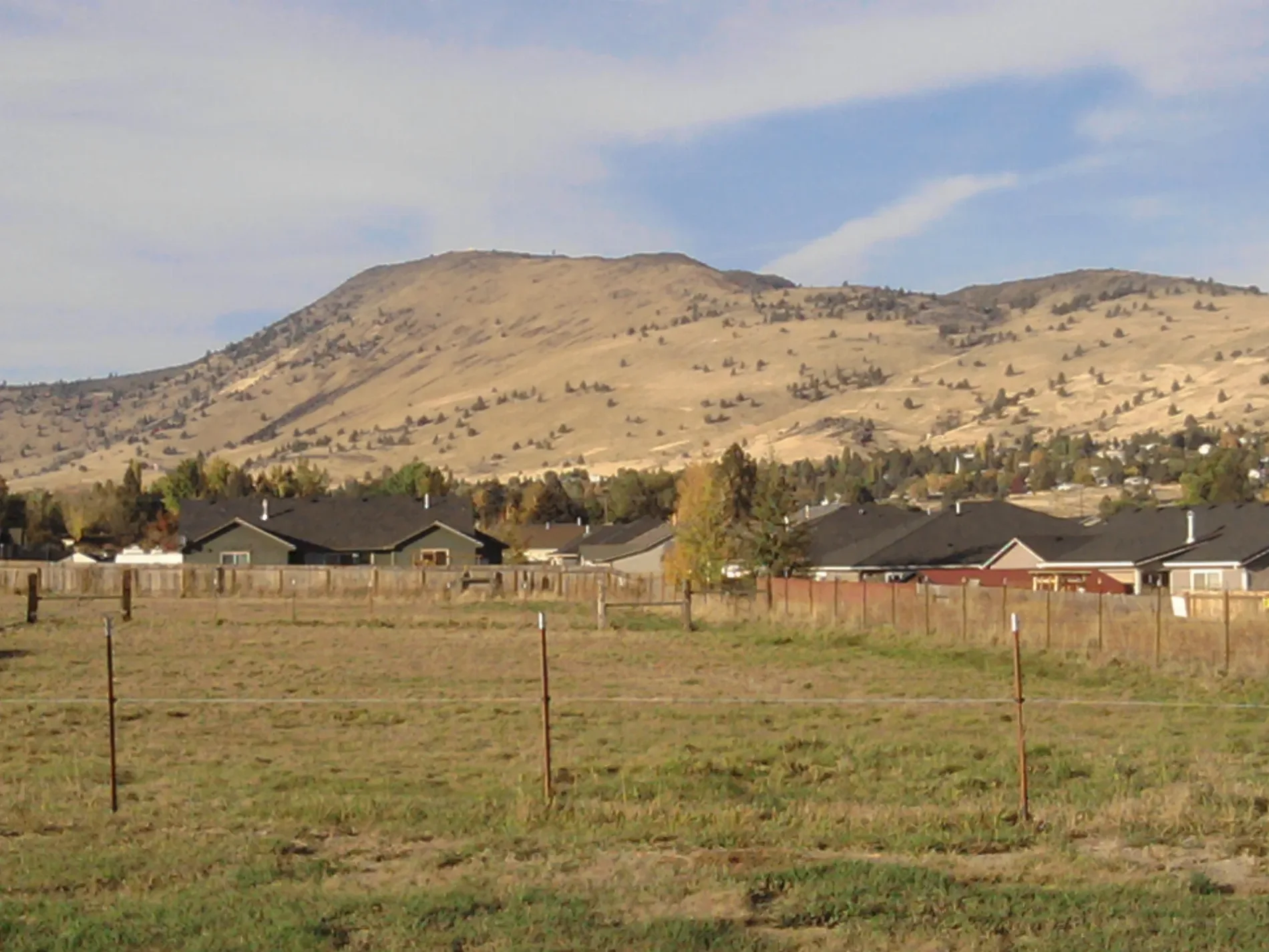
Raymond Street in Klamath County is a residential street. It runs in a north-south direction starting from Independence Avenue and ends at Peck Drive.
- Road Type
- residential street
- Route
- north-south
Image
Streets nearby
Sunshine Place300 ft
Caroline Street500 ft
Independence Avenue0.1 mi
Valley Court0.1 mi
Hammer Street0.1 mi
Peck Drive0.2 mi
Naoma Street0.2 mi
Hilyard Avenue0.2 mi
Willmott Avenue0.2 mi
Patterson Street0.2 mi
Marius Drive0.2 mi
Metro Street0.2 mi
Paramont Street0.2 mi
Willmott Court0.2 mi
Onyx Avenue0.2 mi
Maryland Avenue0.2 mi
Oxbow Street0.3 mi
Sarah Circle0.3 mi
Mack Avenue0.3 mi
Jordan Junction0.3 mi
Lodi Street0.3 mi
Jesse Court0.3 mi
OC&E Woods Line State TrailHager, Lithia Toyota of Klamath Falls, Natural Grocers, Petco, Famous Footwear, Ross, Circle K, Chevron, Switchback Hill Trailhead
0.3 mi
Nile Street0.3 mi
Leland Drive0.3 mi
Barnes Way0.3 mi
Eastmount Street0.3 mi
Windsor Avenue0.3 mi
Delaware AvenueNorth Shore Hawaiian Plate Lunch
0.3 mi
Diane Drive0.3 mi
Dennis Drive0.4 mi
Winter Avenue0.4 mi
Madera Drive0.4 mi
La Jolla Court0.4 mi
Denver Avenue0.4 mi
Estate Drive0.4 mi
Coronado Way0.4 mi
Grenada Way0.4 mi
La Habra Way0.5 mi
Southgate Drive0.5 mi
Arroyo Court0.5 mi
Homer Drive0.5 mi
Harlan Drive0.5 mi
Orinda Drive0.5 mi
Valencia Way0.5 mi
Redondo Way0.5 mi
Rio Vista Way0.6 mi
La Marada Way0.6 mi
School buildings nearby
Ferguson Elementary School0.3 mi
 Public transit map Klamath County Legend
| Railway | |
| Bus | |
| Streetcar |
 Bicycle map Klamath County Legend
| Bike path | |
| Bike lane on roadway | |
| Cycling allowed on bus lane | |
| Bicycle street | |
| Open to cyclists | |
| Open to cyclists, good path | |
| Cycling prohibited | |
| Cobblestone |
| Long-distance bike route | (depending on scale) | |
| Long-distance bike route |
 Pedestrian map Klamath County Legend
| Path |
| Long-distance hiking trail | (depending on scale) | |
| Long-distance hiking trail | ||
| Pedestrians prohibited |