
Blair Boulevard in Eugene, Oregon
Blair Boulevard in Eugene is an asphalted local road. It runs in a southeast-northwest direction and crosses West 1st Avenue, West 2nd Avenue, West 3rd Avenue, West 3rd Alley, Van Buren Street, West 4th Avenue, West 5th Avenue, 6th Street Alley, West 6th Avenue, Adams Street and West 7th Avenue and ends at Monroe Street, while the other end is a cul-de-sac. Nearby you can find among others 4 restaurants, a hair salon, a produce market and a religious goods store. The nearest bus stop is Monroe/6th Station (about 100 m away).
- Bicycle
- designated
- Road Type
- local road
- Route
- southeast-northwest
Image
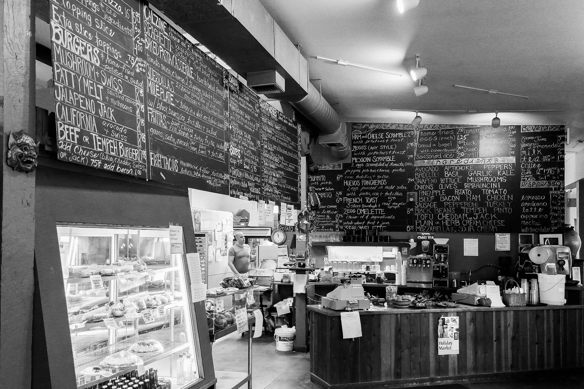
Coffee shops
Cannabis dispensaries
Restaurants
Bars
Streets nearby
Adams StreetToolBox Project
500 ft
West 8th AvenueWest Side Post Office, Jade West apatments, First Evangelical United Brethren Church, Bricks & Minifigs, Mama Mayra's, All Thai'd Up, Bing King, Theo's Coffee House, Whirled Pies, Lotus Garden
0.1 mi
West 6th AvenueSola Salons, Polk/6th Station, Burrito Amigos, The PetSpaw Pet Grooming, Action Automotive, Kahn Chiropractic, Monroe/6th Station, El Rancho, Shift Community Cycles, Shell, Jack in the Box, Chambers/6th Station, Garfield/6th Station, Cricket Wireless, Crescent Automotive, Coastal Farm & Ranch, Dari Mart
0.1 mi
Madison StreetWandering Goat Cafe, Ojisan
0.2 mi
Monroe StreetMandala Cafe, Enterprise, Acorn Community Cafe, Beacock Music
0.2 mi
6th Street Alley0.2 mi
West BroadwayRed Wagon Creamery, Sidelines, Davis' Restaurant, Cowfish, Slice Downtown, Portal Tea, BottleDrop Drop Door, Noisette Pastry Kitchen, Jameson's Bar, Tokyo Tonkatsu, Flowr Of Lyfe
0.2 mi
West 5th AvenueUSPS, Le Cafe Maison, East 5th at Olive, Farmers Union Coffee Roasters, Mountain Rose Herbs Mercatile, Viking Brewing, PeaceHealth Rides 5th & Lincoln, Stoneworks International, Inc., Brail's on 5th, Threadbare Printhouse - Warehouse
0.2 mi
Jefferson StreetZephyr House
0.2 mi
West 4th AvenueSam Bond's Garage, Eugene
0.2 mi
West 8th AlleyOff the Waffle, Yardy Rum Bar, Party Downtown, Eugene
0.3 mi
West 3rd AvenueSuBo Sushi Burritos, The Hybrid, PeaceHealth Rides 3rd & Lawrence, Surata Soyfoods
0.3 mi
Jackson Street0.3 mi
West 2nd AvenueNextStep Electronics Recycling Center, Klink Cycles, C&E Rentals, Backcountry Gear
0.4 mi
Shops nearby
Viking Sewing, Vacuum, Spa & Stove500 ft
Apartment buildings nearby
Valley Ridge Apartments0.1 mi
Auto parts stores nearby
CarTunes200 ft
Auto repair shops nearby
Patrick Olsen Auto Repair0.1 mi
Jackson's Complete Auto Care0.2 mi
Jiffy Lube0.3 mi
Beer gardens nearby
Beergarden0.1 mi
Buildings nearby
Emerald Business Systems0.2 mi
Territorial Vineyards & Wine Company0.3 mi
Cafes nearby
Coffeegarden0.1 mi
Glass House Coffee Bar0.1 mi
Cannabis dispensaries nearby
Nectar0.2 mi
Car washes nearby
Champion Car Wash0.3 mi
Commercial buildings nearby
Carson Saw Shop150 ft
Convenience stores nearby
7-Eleven550 ft
Jacksons0.1 mi
American Market0.2 mi
Fast food restaurants nearby
Laughing Planet450 ft
Garden centers nearby
Gray's Garden Center0.1 mi
Gas stations nearby
Astro400 ft
Industrial buildings nearby
Bell Hardware0.4 mi
Motels nearby
Express Inn & Suites0.1 mi
Executive Motel Eugene Oregon0.1 mi
Signature Inn0.1 mi
Parkway Inn0.2 mi
Parks nearby
Washington/Jefferson City Park0.2 mi
Pubs nearby
Side Pocket Tavern300 ft
Railways nearby
Eugene Running Track0.3 mi
Brooklyn Subdivision0.3 mi
Restaurants nearby
Ubon Thai Kitchen250 ft
Evergreen250 ft
Chao Pra Ya Resturant450 ft
Abilities Diner and Bakery550 ft
Nelson's in the Whit0.2 mi
Supermarkets nearby
Brun's Apple Market0.1 mi
Vape shops nearby
Juiced Up Vapes100 ft
 Public transit map Eugene Legend
| Railway | |
| Bus | |
| Streetcar |
 Bicycle map Eugene Legend
| Bike path | |
| Bike lane on roadway | |
| Cycling allowed on bus lane | |
| Bicycle street | |
| Open to cyclists | |
| Open to cyclists, good path | |
| Cycling prohibited | |
| Cobblestone |
| Long-distance bike route | (depending on scale) | |
| Long-distance bike route |
 Pedestrian map Eugene Legend
| Path |
| Long-distance hiking trail | (depending on scale) | |
| Long-distance hiking trail | ||
| Pedestrians prohibited |