
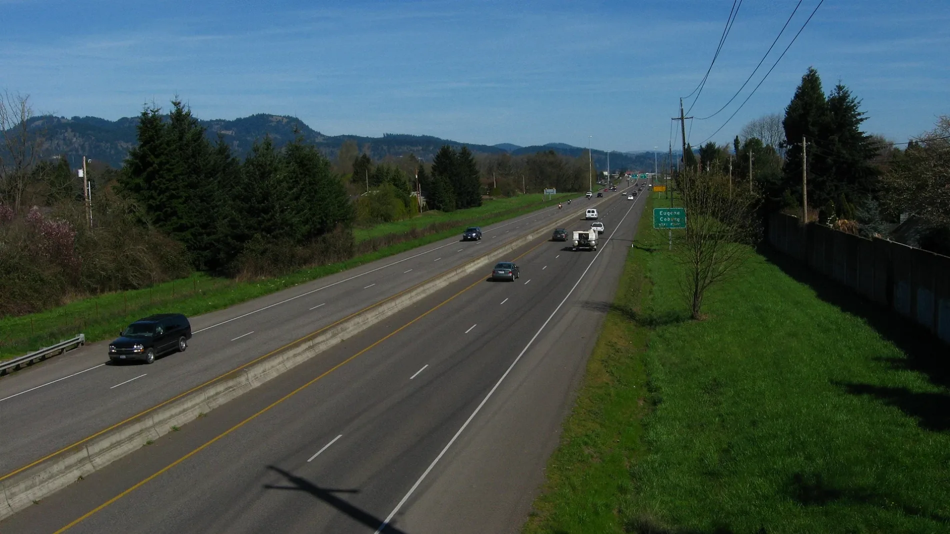
Holly Avenue in Eugene, Oregon
Holly Avenue in Eugene is a residential street. It runs in an east-west direction starting from Tabor Street and crosses Norkenzie Road, Tulip Street and Calgary Street and ends at Gilham Road. Holly Avenue also exists in Cottage Grove.
- Bicycle
- designated
- Road Type
- residential street
- Route
- east-west
Image
Bus stops
Delis
Bars
Post offices
Gas stations
Pet grooming salons
Dentist offices
Fast food restaurants
ATMs
Cafes
Craft stores
Convenience stores
Beauty salons
Veterinary clinics
Hair salons
Restaurants
Pharmacies
Paint stores
Training centers
Music stores
Pet stores
Streets nearby
Balfour Street400 ft
Montreal Avenue550 ft
Calgary Street0.1 mi
Balboa Street0.1 mi
Terresa Avenue0.1 mi
Quebec Street0.2 mi
Crescent AvenueLegacy Laboratory Services, Crescent Family Medicine & Pediatrics, South Pine, Conservative Pain Solutions, Eugene Weekly
0.2 mi
Elanco Avenue0.2 mi
Tulip Street0.2 mi
Coach Way0.3 mi
Gilham Road0.3 mi
Randy Papé BeltlineAssociated Business Systems
0.3 mi
Norkenzie Road0.3 mi
Metolius Drive0.3 mi
Powderhorn Street0.3 mi
Willona Drive0.3 mi
Musket Street0.3 mi
Powder River Drive0.3 mi
Flintlock Street0.3 mi
Benson Lane0.4 mi
Oak Drive0.4 mi
Maple Tree0.4 mi
Gay Street0.4 mi
Elkhorn Drive0.4 mi
Ash Way0.4 mi
Carriage Drive0.4 mi
Linden Way0.4 mi
Wolf Meadows Lane0.4 mi
Marie Lane0.4 mi
Plum Way0.5 mi
Northridge Way0.5 mi
Bonnie View Drive0.5 mi
Lakeview Drive0.5 mi
Lake Crest Drive0.5 mi
Sarah Lane0.5 mi
Lakeland Alley0.5 mi
Darrien0.5 mi
Lakeland Way0.6 mi
Lake Shore Alley0.6 mi
Lake Wood Drive0.6 mi
Places of worship nearby
Harvest Community Church550 ft
Recreation grounds nearby
Cal Young Sports Park0.1 mi
Residential areas nearby
The Meadows Apartments0.3 mi
Falcon Wood Village0.4 mi
Lake Shore Estates0.6 mi
Sports fields nearby
Crescent Skate Park0.1 mi
Streams nearby
Dodson Slough0.4 mi
Baseline Creek0.6 mi
Waters nearby
Ayers Lake0.4 mi
 Public transit map Eugene Legend
| Railway | |
| Bus | |
| Streetcar |
 Bicycle map Eugene Legend
| Bike path | |
| Bike lane on roadway | |
| Cycling allowed on bus lane | |
| Bicycle street | |
| Open to cyclists | |
| Open to cyclists, good path | |
| Cycling prohibited | |
| Cobblestone |
| Long-distance bike route | (depending on scale) | |
| Long-distance bike route |
 Pedestrian map Eugene Legend
| Path |
| Long-distance hiking trail | (depending on scale) | |
| Long-distance hiking trail | ||
| Pedestrians prohibited |