
I-5 Path in Springfield, Oregon
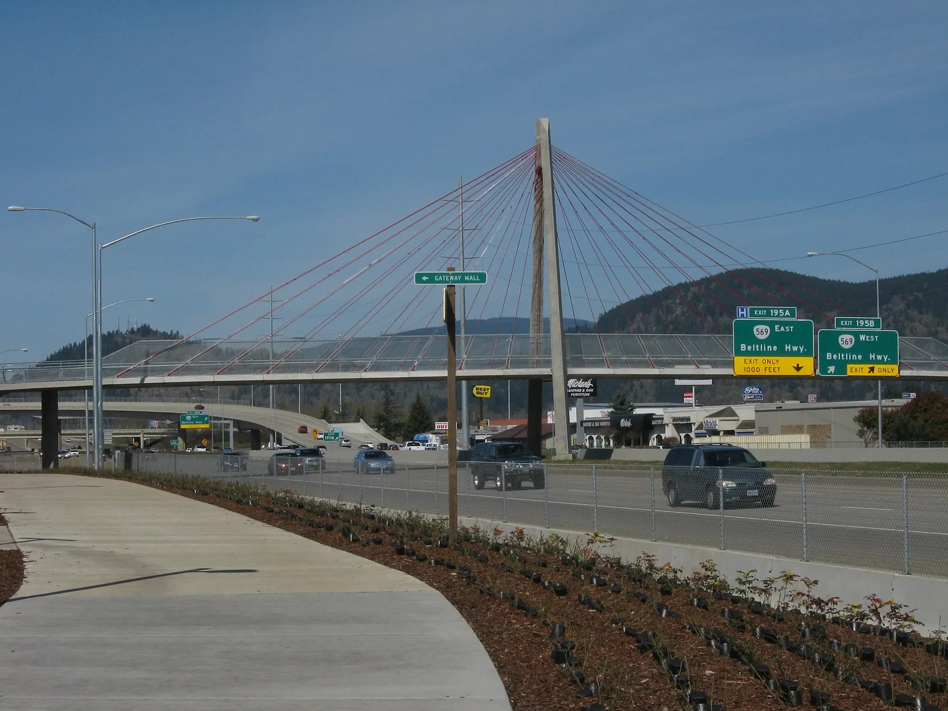
I-5 Path in Springfield is a concrete bike path and runs in an east-west direction and crosses Gateway Loop and Gateway Street.
- Road Type
- bike path
- Bicycle
- designated
- Route
- east-west
Image
Fast food restaurants
Cosmetics stores
Cannabis dispensaries
Video game stores
Restaurants
Clothing stores
Mail depots
ATMs
Pet stores
Opticians
Cell phone stores
Beauty salons
Department stores
Furniture stores
Bus stops
Bed stores
Jewelry stores
Streets nearby
I-5 Path350 ft
Gateway LoopRedbarn Dispensary
0.2 mi
Berkshire Street0.2 mi
Warwick Lane0.2 mi
Preston Street0.2 mi
Postal Way0.2 mi
Manchester Drive0.3 mi
Sussex Street0.3 mi
Cloverleaf Loop0.3 mi
Magic Circle0.3 mi
Kingston Way0.3 mi
Gateway StationNoodles & Company, Gateway Station Bay B, Firehouse Subs, T-Mobile, Aspen Dental, Chipotle, Pieology Pizzeria, Mattress Firm, Gateway Station Bay A, Gateway Station Bay C, Gateway Station Bay D, America's Best Contacts & Eyeglasses, Menchie's Frozen Yogurt
0.3 mi
Babcock Lane0.3 mi
Arcadia Drive0.3 mi
Sheraton Drive0.4 mi
Gateway StreetGateway Station Bay B, Gateway Station Bay C, Oregon State Police, US Foods Chef'Store, bp pulse, American Automobile Association, ChargePoint, Cycle Gear, Postal Way Station, Subway, Metro by T-Mobile, Nails & Spa, Master Donut & Thai food, Kruse Way Station
0.4 mi
Cabriole Court0.4 mi
Calvin Street0.4 mi
Elwing Avenue0.4 mi
Dulles Avenue0.4 mi
Chateau Meadows Drive0.4 mi
Marquet Way0.4 mi
Rosemont Way0.4 mi
Regency Drive0.4 mi
Martha Court0.5 mi
Bailey Lane0.5 mi
Vernon Way0.5 mi
President Street0.5 mi
Meadowvale Court0.5 mi
Mountain View Street0.5 mi
Banks nearby
Gateway Credit Union350 ft
Department stores nearby
Kohl's0.2 mi
Target0.4 mi
Ditches nearby
I-5 Floodway0.2 mi
Fast food restaurants nearby
Carl's Jr.0.2 mi
Panera Bread0.3 mi
Burger King0.4 mi
Furniture stores nearby
M. Jacobs Fine Furniture0.2 mi
Rife's Home Furniture0.2 mi
Hair salons nearby
Northwest College School of Beauty - Springfield350 ft
Movie theaters nearby
Cinemark0.1 mi
Outdoor stores nearby
Cabela's0.3 mi
Places of worship nearby
Joy Church0.1 mi
The Church of Jesus Christ of Latter-day Saints0.4 mi
Post offices nearby
Gateway Post Office0.2 mi
Residential areas nearby
Camelot Manufactured Home Village0.1 mi
Condominiums0.3 mi
Restaurants nearby
Applebee's0.2 mi
Sizzler0.3 mi
Original Roadhouse Grill0.3 mi
Public transit map Springfield Legend
| Railway | |
| Bus | |
| Streetcar |
Bicycle map Springfield Legend
| Bike path | |
| Bike lane on roadway | |
| Cycling allowed on bus lane | |
| Bicycle street | |
| Open to cyclists | |
| Open to cyclists, good path | |
| Cycling prohibited | |
| Cobblestone |
| Long-distance bike route | (depending on scale) | |
| Long-distance bike route |
Pedestrian map Springfield Legend
| Path |
| Long-distance hiking trail | (depending on scale) | |
| Long-distance hiking trail | ||
| Pedestrians prohibited |