
Northeast 6th Drive in Delake, Lincoln City, Oregon
Northeast 6th Drive in Delake in Lincoln City is a two-lane, asphalted residential street. It runs in an east-west direction starting from Northwest 6th Drive and crosses Oregon Coast Highway, Devils Lake State Park and Northeast Mast Avenue and ends at Northeast 7th Drive.
- Road Type
- residential street
- Lanes
- 2
- Route
- east-west
Image
Campgrounds
Public bookcases
Video game stores
Fountains
Community centers
Places of worship
Clinics
Vending machines
Parking lots
Libraries
Game stores
Schools
Beauty salons
Tourist information centers
Clothing stores
ATMs
Mailboxes
Gun stores
Dentist offices
Streets nearby
B Loop400 ft
Northwest 6th DriveLa Boutique, Mermaids Salon
400 ft
A Loop0.1 mi
Northwest 7th Court0.1 mi
Northeast Keel Avenue0.1 mi
Northeast 10th Street0.1 mi
Northwest 8th Court0.1 mi
Northwest 5th Court0.2 mi
Northwest 6th Court0.2 mi
Northwest 2nd Drive0.2 mi
Northwest 11th Street0.2 mi
Northeast 11th Street0.2 mi
Boardwalk0.2 mi
Northwest Inlet Avenue0.2 mi
Northeast 1st Street0.2 mi
Northwest Harbor Avenue0.2 mi
Northwest 12th Street0.2 mi
Northwest Inlet Court0.2 mi
Beach Access0.2 mi
Oregon Coast HighwayMedia Mogul, Seven Gables: What's In A Name?, Greta's Teeny Weeny Gallereeny, U-Haul, Loose Nutz Garage, Lock & Key Adventurer's Guild, U.S. Bank, Willamette Dental Group, Jang Seungs
0.3 mi
Southeast 1st Street0.3 mi
Art galleries nearby
Pacific Artists' Co-op Gallery200 ft
Artworks nearby
Freenotes Harmony Park250 ft
Attractions nearby
Lincoln City Cultural Center400 ft
Buildings nearby
Pacific Power0.1 mi
CenturyLink0.1 mi
Cafes nearby
Dutch Bros. Coffee400 ft
Candy stores nearby
Read's Homemade Candies0.1 mi
Clinics nearby
Samaritan Coastal Clinic500 ft
Commercial buildings nearby
Seven Gables Shoppes400 ft
Copy shops nearby
Quality Printing Service0.2 mi
Hotels nearby
Lincoln Sands Oceanfront Resort0.1 mi
Cozy Cove0.2 mi
Comfort Inn & Suites0.2 mi
Shearwater Inn0.2 mi
Sailor Jack's Oceanfront Motel0.2 mi
Inn at Lincoln City0.3 mi
Kiosks nearby
Registration Booth200 ft
Motels nearby
America's Best Inn & Suites0.1 mi
City Center Motel0.1 mi
Music stores nearby
Surf's Up Music Store0.2 mi
Parks nearby
Hostetler Park0.2 mi
Places of worship nearby
Saint Augustine Catholic Church0.2 mi
Restaurants nearby
Mazatlan Mexican Restaurant400 ft
Tie-Dye Pizzaria0.2 mi
Yatai Sushi0.2 mi
Kyllo's0.2 mi
Rivers nearby
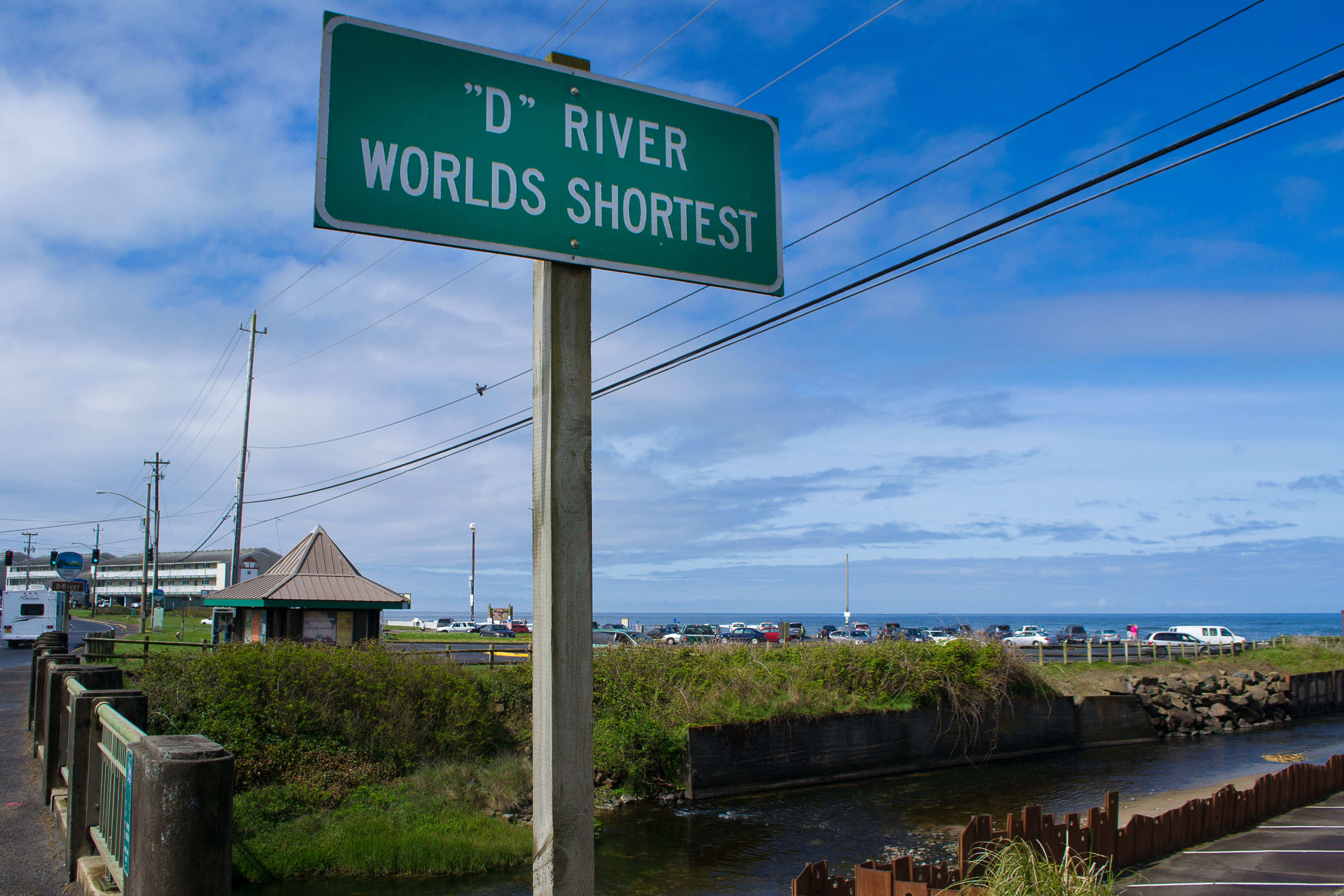
D River0.3 mi
Vacation apartments nearby
Sea Gypsy Rentals0.2 mi
Public transit map Delake Legend
| Railway | |
| Bus | |
| Streetcar |
Bicycle map Delake Legend
| Bike path | |
| Bike lane on roadway | |
| Cycling allowed on bus lane | |
| Bicycle street | |
| Open to cyclists | |
| Open to cyclists, good path | |
| Cycling prohibited | |
| Cobblestone |
| Long-distance bike route | (depending on scale) | |
| Long-distance bike route |
Pedestrian map Delake Legend
| Path |
| Long-distance hiking trail | (depending on scale) | |
| Long-distance hiking trail | ||
| Pedestrians prohibited |