
Southeast Harbor Avenue in Delake, Lincoln City, Oregon
Southeast Harbor Avenue in Delake in Lincoln City is an asphalted residential street. It runs in a northeast-southwest direction starting from Southeast 1st Street and ends at Southeast 2nd Court.
- Road Type
- residential street
- Route
- northeast-southwest
Image
ATMs
Fountains
Mailboxes
Community centers
Schools
Places of worship
Clinics
Vending machines
Video game stores
Clothing stores
Campgrounds
Parking lots
Tourist information centers
Beauty salons
Libraries
Public bookcases
Game stores
Gun stores
Dentist offices
Streets nearby
Southeast 2nd Court350 ft
Southeast 1st Street400 ft
Oregon Coast HighwayMedia Mogul, Seven Gables: What's In A Name?, Greta's Teeny Weeny Gallereeny, U-Haul, Loose Nutz Garage, Lock & Key Adventurer's Guild, U.S. Bank, Willamette Dental Group, Jang Seungs
500 ft
Southwest 3rd StreetDelake
0.1 mi
Southeast 2nd Place0.1 mi
Northeast 1st Street0.1 mi
Southwest 4th Street0.1 mi
Northwest Inlet Court0.2 mi
Boardwalk0.2 mi
Beach Access0.2 mi
Southwest Ebb Avenue0.2 mi
Southwest 5th Street0.2 mi
Northwest Inlet Avenue0.2 mi
Northwest 2nd Drive0.2 mi
Southwest Fleet Avenue0.2 mi
Southwest 6th Street0.3 mi
A Loop0.3 mi
Southwest Galley AvenueLincoln City, Lincoln City Culinary Center, Driftwood Public Library, Lincoln City Career Tech High School, Library Book & Media Drop
0.3 mi
Northwest 5th Court0.3 mi
Shops nearby
Psychic Reader0.1 mi
Attractions nearby
Lincoln City Cultural Center0.3 mi
Banks nearby
U.S. Bank0.2 mi
Buildings nearby
Realty One Group450 ft
Pacific Power0.3 mi
Cannabis dispensaries nearby
Smooth Roots0.1 mi
Chocolate shops nearby
The Chocolate Frog0.1 mi
Collector shops nearby
JS Coins0.2 mi
Convenience stores nearby
US Market0.3 mi
Dentist's offices nearby
Lincoln City Family Dental150 ft
Event venues nearby
The Eventuary0.2 mi
Fast food restaurants nearby
Subway0.1 mi
Burger King0.3 mi
Fire stations nearby
T.N.D. Fire District No. 20.2 mi
Gas stations nearby
Space Age0.2 mi
Hotels nearby
Inn at Lincoln City450 ft
Comfort Inn & Suites0.2 mi
Shearwater Inn0.2 mi
Cozy Cove0.3 mi
Motels nearby
Ocean Breeze Hotel250 ft
Palace Inn & Suites0.2 mi
Parks nearby
Hostetler Park0.1 mi
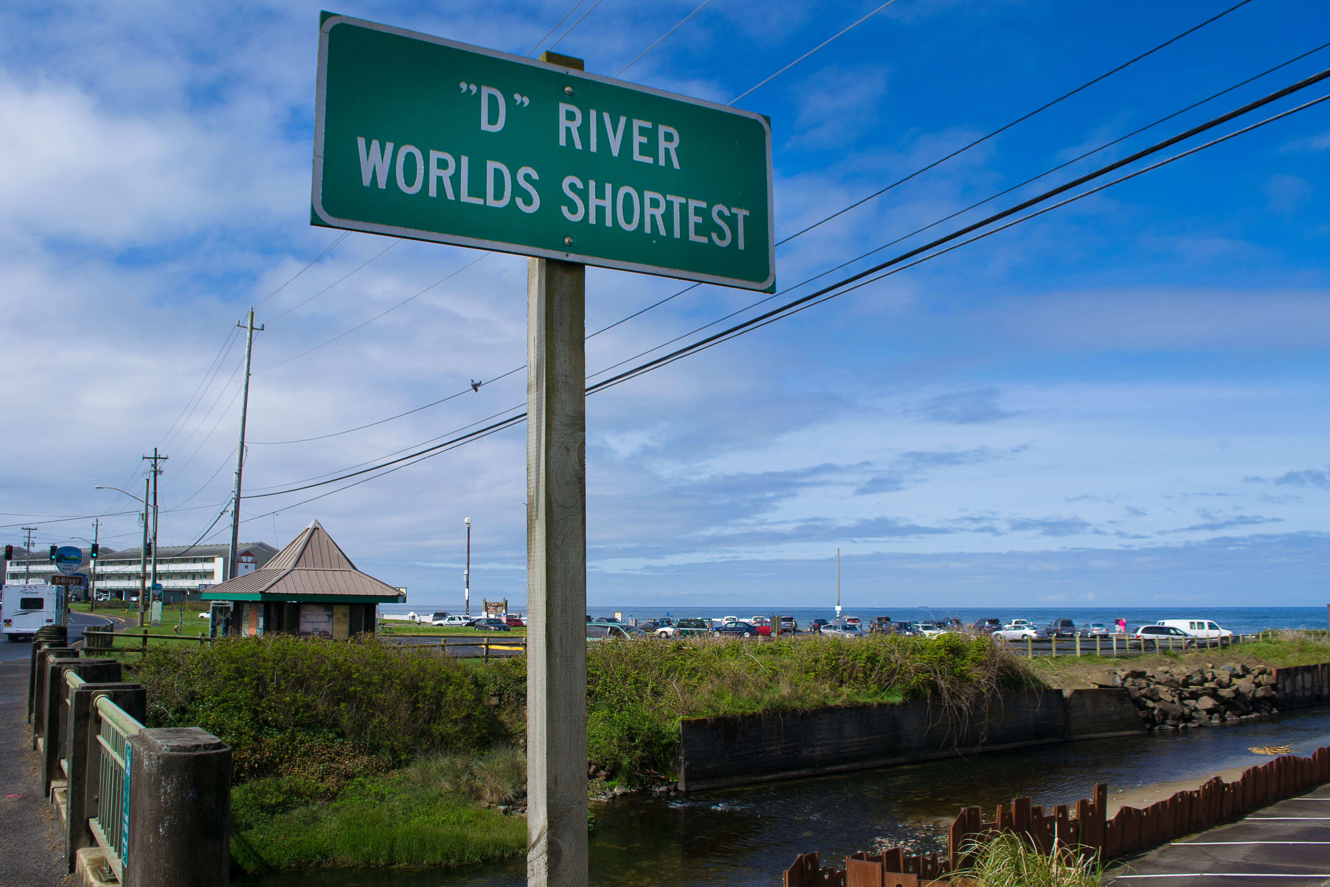
D River State Recreation Site0.1 mi
Restaurants nearby
Lee's Restaurant400 ft
Nauti Mermaid Beach House450 ft
Kyllo's0.1 mi
Pier 101 Deluxe Bar and Seafood Grill0.2 mi
Rivers nearby
D River0.2 mi
Self storages nearby
D River Storage0.1 mi
Vacation apartments nearby
Sea Gypsy Rentals0.2 mi
Public transit map Delake Legend
| Railway | |
| Bus | |
| Streetcar |
Bicycle map Delake Legend
| Bike path | |
| Bike lane on roadway | |
| Cycling allowed on bus lane | |
| Bicycle street | |
| Open to cyclists | |
| Open to cyclists, good path | |
| Cycling prohibited | |
| Cobblestone |
| Long-distance bike route | (depending on scale) | |
| Long-distance bike route |
Pedestrian map Delake Legend
| Path |
| Long-distance hiking trail | (depending on scale) | |
| Long-distance hiking trail | ||
| Pedestrians prohibited |