
Alco Street Northeast in Albany, Oregon
Alco Street Northeast in Albany is a residential street and runs in a north-south direction and crosses 1st Avenue East and ends at Alco Street Southeast.
- Road Type
- residential street
- Speed Limit
- 25 mph
- Route
- north-south
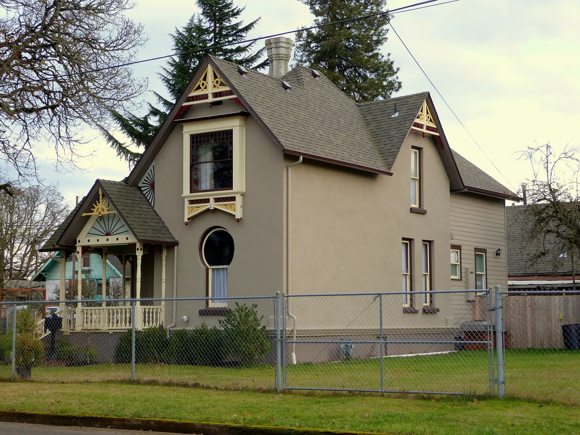
Image
Schools
Liquor stores
Dry cleaners
Locksmiths
Hearing aid centers
Beauty salons
Pubs
Restaurants
Department stores
Convenience stores
Fast food restaurants
Motels
Produce markets
Bars
Thrift stores
Hair salons
Streets nearby
1st Avenue EastBoda Furniture, AK Carpet & More, Parr Lumber
250 ft
Alco Street Southeast300 ft
Burkhart Street Southeast350 ft
Burkhart Street Northeast450 ft
Water Avenue NortheastCalapooia Brewing Company
450 ft
Salem Avenue SoutheastPepper Tree Sausage, King Kone, Stop N Save Market
500 ft
2nd Avenue SoutheastShift Electric Vehicles, Linger Longer, Seven Eleven, Fish of Albany, Super Thrift, Rainbow Records, Chasers Bar & Grill, Stop-N-Save
500 ft
Chicago Street Northeast0.1 mi
East Water Avenue0.1 mi
Geary Street SoutheastSouth Albany Community Church, Panda Express, AT&T, Selco Community Credit Union, Simply Ramen
0.1 mi
Front Avenue Northeast0.2 mi
4th Avenue SoutheastWaverly Elementary School, Albany Christian School
0.2 mi
Denver Street Northeast0.2 mi
Geary Street Northeast0.2 mi
Clay Street Southeast0.2 mi
Willamette Avenue Northeast0.2 mi
Columbus Street Northeast0.2 mi
5th Avenue Southeast0.2 mi
Cleveland Street Southeast0.2 mi
Cleveland Street Northeast0.2 mi
Mason Street Southeast0.2 mi
Bradley Street Southeast0.2 mi
Davidson Street Northeast0.3 mi
6th Avenue Southeast0.3 mi
Chicago Street Southeast0.3 mi
Santiam Road Southeast0.3 mi
Denver Street Southeast0.4 mi
Columbus Street SoutheastColumbus / Columbus Place
0.4 mi
Pacific Boulevard SoutheastWaverly Cleaners, Subway, Albany Liquor, Carniceria Los Compadres, Roger's Restaurant, U.S. Tactical Supply
0.4 mi
7th Avenue Southeast0.4 mi
Ermine Street Southeast0.4 mi
Santiam Highway SoutheastBurgerville, Fred Meyer Fuel, Dutch Bros. Coffee, Les Schwab Tire Center
0.4 mi
Davidson Street Southeast0.4 mi
8th Avenue Southeast0.4 mi
9th Avenue SoutheastYummy House
0.4 mi
Auto parts stores nearby
O'Reilly Auto Parts0.4 mi
Auto repair shops nearby
Valvoline0.4 mi
Fast food restaurants nearby
KFC0.3 mi
Domino's0.3 mi
Jack in the Box0.4 mi
Parks nearby
Burkhart Park0.3 mi
Pet stores nearby
Petco0.3 mi
Railways nearby
UP Brooklyn Subdivision0.1 mi
Santiam Lead0.2 mi
OE District0.2 mi
Recycling centers nearby
BottleDrop Redemption Center0.5 mi
Restaurants nearby
Los Dos Amigos Hacienda0.5 mi
Streams nearby
Periwinkle Creek0.3 mi
Thrift stores nearby
Goodwill0.4 mi
Public transit map Albany Legend
| Railway | |
| Bus | |
| Streetcar |
Bicycle map Albany Legend
| Bike path | |
| Bike lane on roadway | |
| Cycling allowed on bus lane | |
| Bicycle street | |
| Open to cyclists | |
| Open to cyclists, good path | |
| Cycling prohibited | |
| Cobblestone |
| Long-distance bike route | (depending on scale) | |
| Long-distance bike route |
Pedestrian map Albany Legend
| Path |
| Long-distance hiking trail | (depending on scale) | |
| Long-distance hiking trail | ||
| Pedestrians prohibited |