
Oak Street Northeast in Albany, Oregon
Oak Street Northeast in Albany is an asphalted residential street. It runs in a north-south direction and crosses Front Avenue Northeast, Water Avenue Northeast and 1st Avenue East and ends at Oak Street Southeast, while the other end is a cul-de-sac.
- Road Type
- residential street
- Speed Limit
- 25 mph
- Route
- north-south
Image
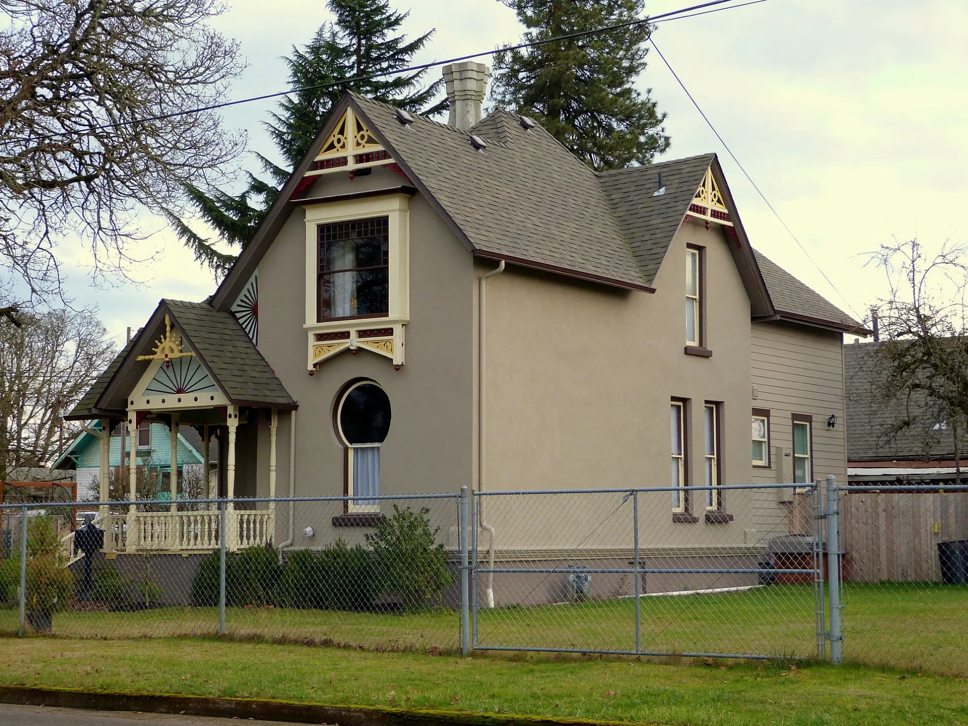
Bars
Thrift stores
Gun stores
Hearing aid centers
Auto repair shops
Places of worship
Restaurants
Locksmiths
Pubs
Specialty stores
Secondhand stores
Produce markets
Convenience stores
Schools
Hair salons
Music stores
Carpet stores
Furniture stores
Streets nearby
Pine Street Northeast350 ft
Sherman Street Northeast350 ft
Front Avenue Northeast0.1 mi
Harrison Street Northeast0.1 mi
Main Street Northeast0.1 mi
Oak Street Southeast0.2 mi
Salem Avenue SoutheastPepper Tree Sausage, King Kone, Stop N Save Market
0.2 mi
Harrison Street Southeast0.2 mi
Cleveland Street Northeast0.2 mi
Hill Street NortheastEaston's Barbershop
0.2 mi
Cleveland Street Southeast0.2 mi
Hill Street SoutheastVerbatim Church
0.2 mi
Mason Street Southeast0.2 mi
Madison Street Northeast0.3 mi
Pine Street Southeast0.3 mi
Thurston Street Northeast0.4 mi
Thurston Street Southeast0.4 mi
2nd Avenue SoutheastSeven Eleven, Fish of Albany, Super Thrift, Rainbow Records, Chasers Bar & Grill, Stop-N-Save, Shift Electric Vehicles, Linger Longer
0.4 mi
Water Avenue NortheastCalapooia Brewing Company
0.4 mi
Jefferson Street Northeast0.4 mi
Lafayette Street Southeast0.5 mi
Sherman Street Southeast0.5 mi
Madison Street Southeast0.5 mi
Jefferson Street Southeast0.5 mi
Main Street SoutheastAlbany Lock & Key
0.5 mi
Jackson Street Northeast0.5 mi
Dave Clark Riverfront Path0.5 mi
5th Avenue Southeast0.5 mi
7th Avenue Southeast0.5 mi
3rd Avenue SoutheastTansy & Thyme
0.5 mi
9th Avenue SoutheastYummy House
0.5 mi
Jackson Street SoutheastLinn County Sheriff's Office
0.5 mi
4th Avenue SoutheastAlbany Christian School, Waverly Elementary School
0.5 mi
1st Avenue EastBoda Furniture, AK Carpet & More, Parr Lumber
0.6 mi
Railroad Street Southeast0.6 mi
Pacific Boulevard SoutheastWaverly Cleaners, Subway, Albany Liquor, Carniceria Los Compadres, Roger's Restaurant, U.S. Tactical Supply
0.6 mi
6th Avenue Southeast0.6 mi
Buildings nearby
Steel Worker's Union Hall0.2 mi
Cafes nearby
Dutch Bros. Coffee0.5 mi
Starbucks0.5 mi
Human Bean0.6 mi
Fast food restaurants nearby
Papa Murphy's0.5 mi
Gas stations nearby
Chevron0.5 mi
Golf courses nearby
Albany Golf Course0.4 mi
Parks nearby
Eleanor Hackleman Park0.4 mi
Railways nearby
UP Brooklyn Subdivision0.4 mi
Restaurants nearby
Pop's Branding Iron Restaurant & Lounge0.5 mi
Streams nearby
Periwinkle Creek0.1 mi
Thurston Creek0.4 mi
Public transit map Albany Legend
| Railway | |
| Bus | |
| Streetcar |
Bicycle map Albany Legend
| Bike path | |
| Bike lane on roadway | |
| Cycling allowed on bus lane | |
| Bicycle street | |
| Open to cyclists | |
| Open to cyclists, good path | |
| Cycling prohibited | |
| Cobblestone |
| Long-distance bike route | (depending on scale) | |
| Long-distance bike route |
Pedestrian map Albany Legend
| Path |
| Long-distance hiking trail | (depending on scale) | |
| Long-distance hiking trail | ||
| Pedestrians prohibited |