
South Oregon Street in Ontario, Oregon
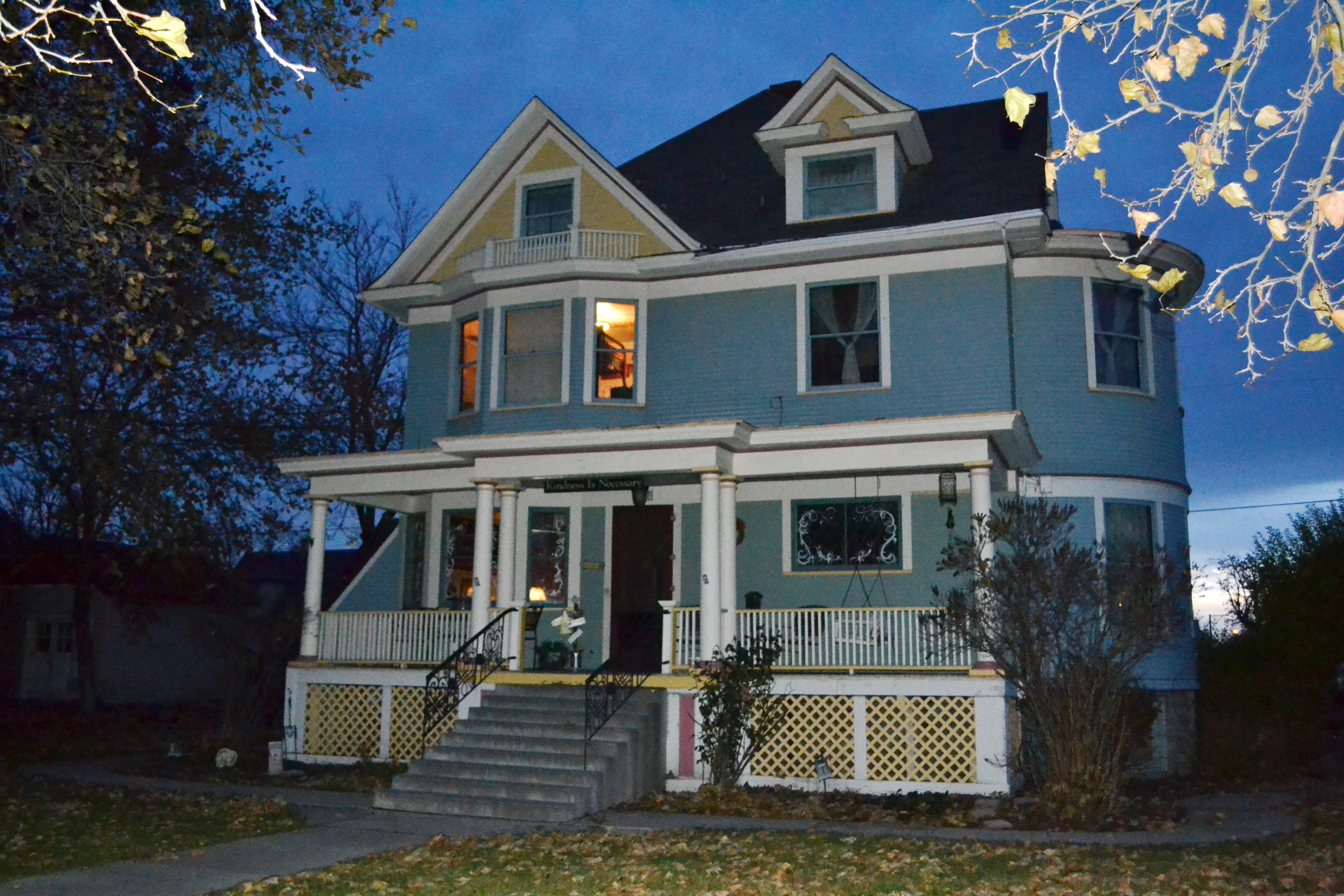
South Oregon Street in Ontario is an asphalted residential street. It runs in a north-south direction starting from North Oregon Street and crosses East Idaho Avenue, West Idaho Avenue, Southeast 1st Avenue, Southwest 1st Avenue, Southeast 2nd Avenue, Southwest 2nd Avenue, Southeast 3rd Avenue, Southwest 3rd Avenue, Southeast 4th Avenue, Southwest 4th Avenue and Southeast 5th Avenue. It ends in a cul-de-sac. The nearest bus stop is Malheur Express Stop 5 (about 350 m away). South Oregon Street also exists in Gilliam County.
- Road Type
- residential street
- Route
- north-south
Image
Hotels
Post offices
Auto parts stores
Laundries
Cannabis dispensaries
Bus stops
Places of worship
Schools
Rental services
Restaurants
Art galleries
Libraries
Jewelry stores
Cell phone stores
Streets nearby
Southeast 6th Avenue350 ft
Southeast 8th Avenue500 ft
Southwest 6th Avenue0.1 mi
Southeast 1st Street0.2 mi
Southwest 4th AvenueOntario Inn, Plaza Inn Restaurant, Jack in the Box, Malheur Express Stop 7, Malheur Express Stop 8, Malheur Express Stop 9, Malheur Express Stop 10, Malheur Express Stop 11, Idaho Youth Ranch - Ontario, OR
0.2 mi
Southwest 7th Avenue0.2 mi
Southeast 10th Avenue0.2 mi
Southwest 9th Avenue0.2 mi
Southwest 1st StreetStockmans Motel, The House That Art Built
0.2 mi
Southeast 3rd AvenueMalheur Express Stop 5, Idaho-Oregon Buddhist Temple, Ore-Ida Judo Club
0.2 mi
Southwest 3rd Street0.3 mi
Southwest 8th Avenue0.3 mi
Southeast 4th Avenue0.3 mi
Southwest 10th Avenue0.3 mi
Southeast 9th Avenue0.3 mi
Southwest 3rd AvenueMalheur Express Stop 6, 1st Floor, Ambulance, Public Power Outlet
0.3 mi
Southwest 2nd Street0.3 mi
Southeast 7th Avenue0.3 mi
Southwest 5th StreetSRT Stop 5
0.3 mi
Southwest 5th Avenue0.3 mi
Southwest 4th Street0.3 mi
Southeast 1st AvenueNAPA Auto Parts, Boost Mobile, Rent-A-Center (RAC)
0.4 mi
Southeast 5th AvenueMalheur Express Stop 3, Action Sports Bar and OTB, Action Card House, The Happy Hippy, Central Rent 2 Own
0.4 mi
Southeast 3rd Street0.4 mi
Southeast 2nd Avenue0.4 mi
Southwest 6th Street0.4 mi
East Idaho AvenueCarl's Jr., Verizon, KFC, A&W, Oregon Trail Motel, Diamond Gallery, Super 8 Ontario, T-Mobile, Metro by T-Mobile, Miracle-Ear, Pizza Hut
0.4 mi
West Idaho AvenueLos Potrillos
0.4 mi
Southwest 1st AvenueCurry on Wheels Indian Cuisine, Mackey's Public House
0.4 mi
Southwest 2nd AvenueOntario Post Office, Ontario Community Library, Smokin Dealz, Ontario Middle School
0.4 mi
Auto repair shops nearby
Oregon Radiator Works0.4 mi
Banks nearby
Chase0.3 mi
Cafes nearby
Sorbenots Coffee0.5 mi
Car washes nearby
Looks Nu Car Wash0.4 mi
Gas stations nearby
Cenex0.4 mi
Hardware stores nearby
True Value0.3 mi
Music stores nearby
Dorsey Music, Ontario OR0.4 mi
Parks nearby
Moore Park0.3 mi
Places of worship nearby
Centro Christano Bethel0.3 mi
Saint Mathew's Episcopal Church0.3 mi
Railways nearby
Union Pacific Railroad0.1 mi
UP Huntington Subdivision0.3 mi
Restaurants nearby
Rusty's Pancakes & Steakhouse0.4 mi
Schools nearby
Ontario Middle School0.4 mi
Supermarkets nearby
Red Apple Marketplace0.4 mi
Technical colleges nearby
Laura Moore Cunningham Science Center0.3 mi
Florence Findley Career & Technical Education Center0.4 mi
Barber Hall0.4 mi
Town halls nearby
Ontario City Hall0.3 mi
Public transit map Ontario Legend
| Railway | |
| Bus | |
| Streetcar |
Bicycle map Ontario Legend
| Bike path | |
| Bike lane on roadway | |
| Cycling allowed on bus lane | |
| Bicycle street | |
| Open to cyclists | |
| Open to cyclists, good path | |
| Cycling prohibited | |
| Cobblestone |
| Long-distance bike route | (depending on scale) | |
| Long-distance bike route |
Pedestrian map Ontario Legend
| Path |
| Long-distance hiking trail | (depending on scale) | |
| Long-distance hiking trail | ||
| Pedestrians prohibited |