
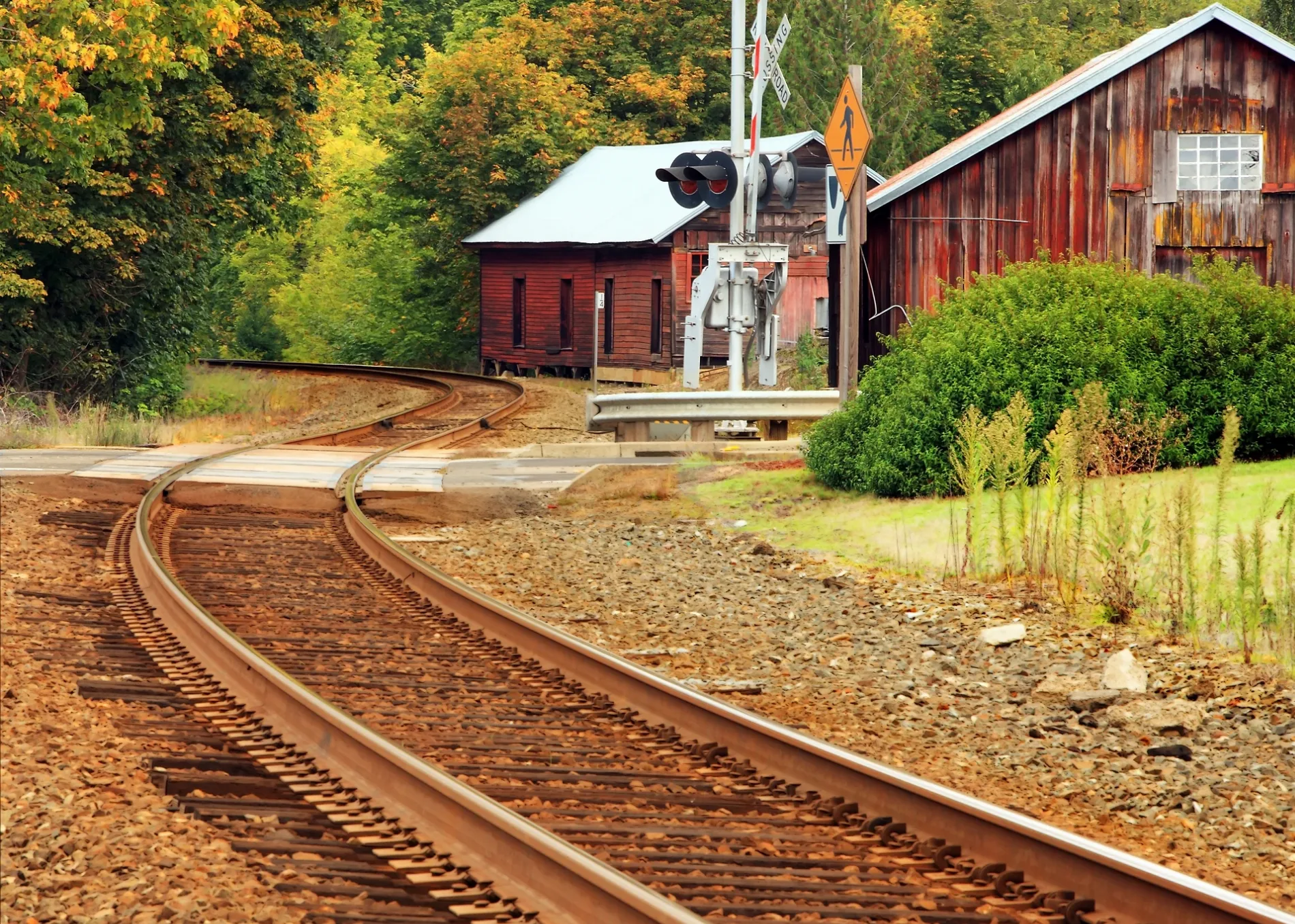
Airport Road Northeast in Aurora, Oregon
Airport Road Northeast in Aurora is an asphalted secondary road (Road number CR 59). The street has bike paths (bike lane). No sidewalks. It runs in a north-south direction and crosses Smith Lane, Lloyds Lane, Albers Way Northeast and Kasel Court Northeast.
- Road Type
- secondary road
- Speed Limit
- 35 mph
- Route
- north-south
Image
Police stations
Bus stops
Gas stations
Antique stores
Museums
Cafes
Streets nearby
Albers Way Northeast350 ft
Lloyds Lane0.1 mi
Kasel Court Northeast0.1 mi
Smith Lane0.2 mi
Ehlen Road NortheastEspressor, NAPA Auto Parts
0.2 mi
Mill Race Lane Northeast0.3 mi
Northeast 1st Street0.3 mi
Northeast 2nd StreetOld Aurora Colony Museum
0.3 mi
Cole Lane Northeast0.3 mi
Martin Street Northeast0.3 mi
Kahle Lane Northeast0.4 mi
Main Street Northeast0.4 mi
Northeast 3rd StreetAurora
0.4 mi
Pacific Highway East99E at Ottoway Rd, 99E & 3rd St NE, The Highway 99e Antique Mall, 99E & Liberty St NE, 99E before Orchard Ave NE, White Rabbit Bakery
0.4 mi
Northeast 4th StreetAurora Police Department
0.4 mi
South Anderson Road0.6 mi
Keil Road Northeast0.6 mi
Sayre Drive Northeast0.6 mi
Northeast Liberty Street0.6 mi
Northeast Bobs Avenue0.6 mi
Payton Court0.6 mi
Esperanto Drive Northeast0.7 mi
Yellow Gate Lane Northeast0.7 mi
South Lone Elder RoadLone Elder, 76, Lone Elder Market
0.8 mi
Park Avenue Northeast0.8 mi
Oak Lane Northeast0.8 mi
Jenny Marie Lane Northeast0.8 mi
Yakima Street Northeast0.9 mi
Ottaway Road Northeast0.9 mi
Cody Lane Northeast0.9 mi
Walnut Street Northeast0.9 mi
Filbert Street Northeast0.9 mi
Stenbock Way0.9 mi
Antique stores nearby
Aurora Antiques0.2 mi
Timless Antiques0.3 mi
Buildings nearby
Aurora Colony Auction House0.3 mi
Cafes nearby
Chug Coffee0.8 mi
Cannabis dispensaries nearby
Justice Cannabis Company0.3 mi
Cemeteries nearby
Keil Family Cemetery0.2 mi
Fire stations nearby
Aurora Fire Station0.4 mi
Hangars nearby
Helicopter Transport Services0.5 mi
Life Flight0.8 mi
Industrial buildings nearby
Van's Aircraft0.6 mi
Places of worship nearby
Christ Lutheran Church0.4 mi
Pubs nearby
The Aurora Colony Pub0.3 mi
Railways nearby
UP Brooklyn Subdivision0.3 mi
Restaurants nearby
Filbert’s Farmhouse Kitchen0.5 mi
Rivers nearby
Pudding River0.6 mi
Streams nearby
Mill Creek0.7 mi
Public transit map Aurora Legend
| Railway | |
| Bus | |
| Streetcar |
Bicycle map Aurora Legend
| Bike path | |
| Bike lane on roadway | |
| Cycling allowed on bus lane | |
| Bicycle street | |
| Open to cyclists | |
| Open to cyclists, good path | |
| Cycling prohibited | |
| Cobblestone |
| Long-distance bike route | (depending on scale) | |
| Long-distance bike route |
Pedestrian map Aurora Legend
| Path |
| Long-distance hiking trail | (depending on scale) | |
| Long-distance hiking trail | ||
| Pedestrians prohibited |