
City View Cemetery in Salem, Oregon
City View Cemetery in Salem is a cemetery (Elevation 111 m). Ⓦ.
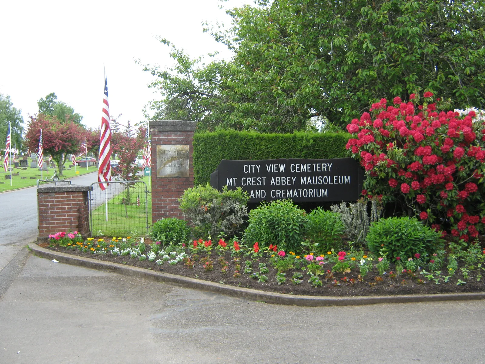
- Land Use
- cemetery
Fast food restaurants
Opticians
Cafes
Bus stops
Supermarkets
Recycling stations
Restaurants
Public bookcases
Charging stations
Banks
Post offices
Streets nearby
Alvarado Trail South200 ft
Coburn Street South250 ft
Mount Laurel Way South400 ft
Bolton Terrace South500 ft
Alvarado Terrace South0.1 mi
Birdhill Drive South0.1 mi
Crestview0.1 mi
Lorida Avenue South0.2 mi
Caroline Street South0.2 mi
Crestview Drive South0.2 mi
Candalaria Boulevard SouthOCCU, Papa Murphy's, Capitol Eyecare
0.2 mi
Fairfax Court South0.2 mi
Lakeside Way South0.2 mi
Doughton Street South0.2 mi
Skopil Avenue South0.2 mi
Hoyt Street South0.2 mi
Minto Island Road South0.3 mi
John Street South0.3 mi
Maple Glen Lane South0.3 mi
Sunrise Avenue South0.3 mi
Schurman Drive South0.3 mi
River Road SouthSalem Health
0.3 mi
Prominent Court South0.3 mi
Linden Lane South0.3 mi
Mountain View Drive South0.3 mi
Boice Street SouthLittle Free Library, Commercial @ Boice, ChargePoint
0.3 mi
Gilbert Street South0.3 mi
Crestview Court South0.4 mi
Ben Vista Drive South0.4 mi
Prospect Place South0.4 mi
Argyle Drive South0.4 mi
Vibbert Street South0.4 mi
Bonham Street South0.4 mi
Holiday Drive South0.4 mi
Cooke Street South0.5 mi
Cascara Loop South0.5 mi
Hansen Avenue SouthGreat Wall Buffet
0.5 mi
Felton Street South0.5 mi
West Vista Avenue South0.5 mi
Earhart Street South0.5 mi
Holiday Court South0.5 mi
Buildings nearby
Fairmount Park Apartments0.2 mi
Buildings nearby
Mt. Crest Abbey Mausoleum450 ft
White Oak Construction0.3 mi
Robin Richards Memorial Playground0.4 mi
Mortuaries nearby
City View Funeral Home0.2 mi
Parks nearby
Candalaria Park0.2 mi
Streams nearby
Croisan Creek0.4 mi
Willamette Slough0.4 mi
| Year built | 1893 |
|---|---|
| Located in | Salem |
| Country | United States |
| Website | http://www.city-view.org/ |
Public transit map Salem Legend
| Railway | |
| Bus | |
| Streetcar |
Bicycle map Salem Legend
| Bike path | |
| Bike lane on roadway | |
| Cycling allowed on bus lane | |
| Bicycle street | |
| Open to cyclists | |
| Open to cyclists, good path | |
| Cycling prohibited | |
| Cobblestone |
| Long-distance bike route | (depending on scale) | |
| Long-distance bike route |
Pedestrian map Salem Legend
| Path |
| Long-distance hiking trail | (depending on scale) | |
| Long-distance hiking trail | ||
| Pedestrians prohibited |