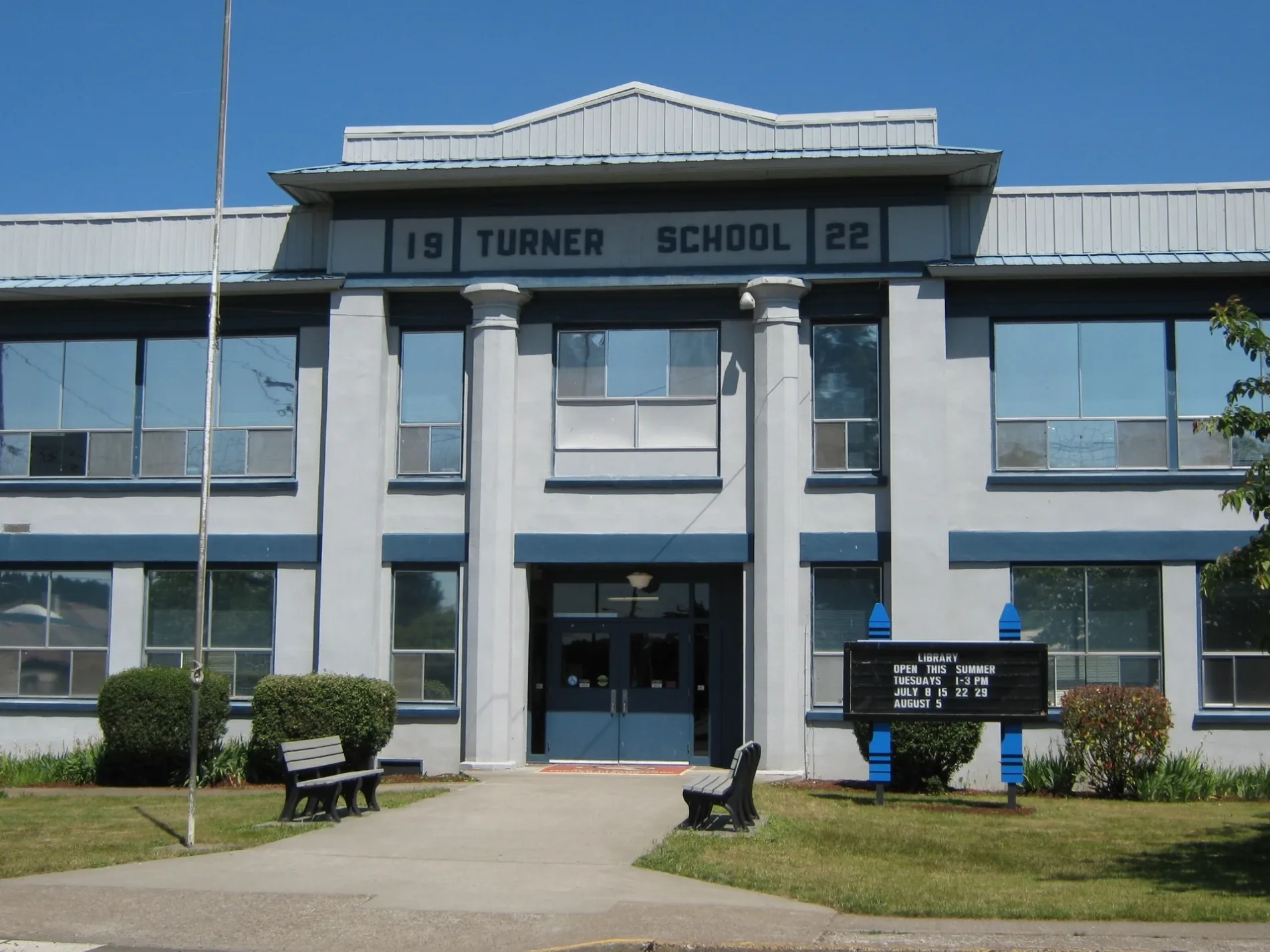
School in Turner, Oregon built in 1922. Originally for grades 1-12, currently serving as an elementary school. History from Cascade School District – Katr67, Public domain – Wikimedia Commons Turner is located in Marion County. About 2,454 people live here (as of 2020). Between 2010 and 2020, the population grew from 1,854 to 2,454. The area covers about 3.7 square kilometers. There are about 178 streets in Turner. The region was founded in 1905. The postal codes are 97392. The dialing code is 503. Turner is city in Marion County, Oregon, USA. More information at www.cityofturner.org.


 Public transit map Turner Legend
  Bicycle map Turner Legend
  Pedestrian map Turner Legend