
Northeast 82nd Avenue in Madison South, Portland, Oregon
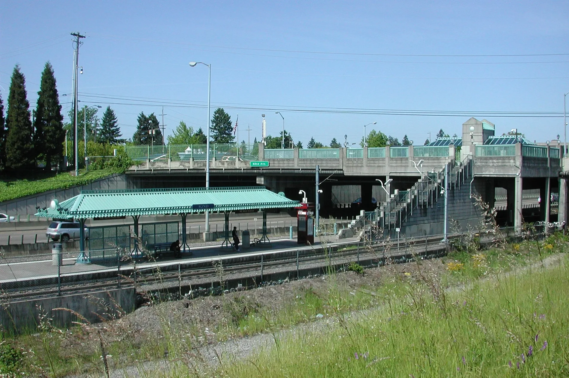
Northeast 82nd Avenue in Madison South in Portland is a four-lane, asphalted main road (Road number OR 213). The street has sidewalks. It crosses a bridge. It runs in a north-south direction and crosses Northeast Schuyler Street, Northeast Beech Street, Northeast Klickitat Street, Northeast 82nd Way, Northeast Air Cargo Road, Northeast Lombard Street, Northeast Alderwood Road, Northeast Webster Street, Northeast Alberta Street, Northeast Humboldt Street, Northeast Wygant Street and Northeast Going Place. It connects Madison South, Montavilla, Sumner, Portland, Roseway and Cully. Northeast 82nd Avenue is also known as Cascade Highway. This street is part of the highway "213". Nearby you can find among others a massage therapy clinic and a restaurant. The nearest stops include Northeast 82nd & Tillamook, Northeast 82nd & Thompson, Northeast 82nd & Klickitat, Northeast 82nd & Russell and Northeast 82nd & McDaniel High School. The light rail lines Blue, Green and Red as well as the bus line 72 serve this stop. Ⓦ.
- Alternate Name
- Cascade Highway
- Bicycle
- yes
- Road Type
- main road
- Lanes
- 4
- Speed Limit
- 30 mph
- Route
- north-south
Bus stops
- bus lines 72
Streets nearby
Northeast Jonesmore StreetApartment buildings nearby
Milepost 5Auto repair shops nearby
Jiffy LubeBars nearby
Pappy's Bar and GrillBuildings nearby
82nd Avenue SubstationCannabis dispensaries nearby
Chronix DispensaryCar dealerships nearby
Bobby's Auto SalesConvenience stores nearby
JacksonsFast food restaurants nearby
Don PedroHotels nearby
Comfort Inn & SuitesIndustrial areas nearby
Sunrise DairyMarketplaces nearby
Saigon MarketMotels nearby
Portland Value Inn & SuitesRestaurants nearby
Eastern CathaySocial facilities nearby
Portland Rescue Mission - Drive Away HungerSports fields nearby
Portland Timbers Field at Montavilla ParkUniversity buildings nearby
Aldrich HallVeterinary clinics nearby
Banfield Pet Hospital| Located in | Portland |
|---|---|
| Country | United States |
| Railway | |
| Bus | |
| Streetcar |
| Bike path | |
| Bike lane on roadway | |
| Cycling allowed on bus lane | |
| Bicycle street | |
| Open to cyclists | |
| Open to cyclists, good path | |
| Cycling prohibited | |
| Cobblestone |
| Long-distance bike route | (depending on scale) | |
| Long-distance bike route |
| Path |
| Long-distance hiking trail | (depending on scale) | |
| Long-distance hiking trail | ||
| Pedestrians prohibited |