
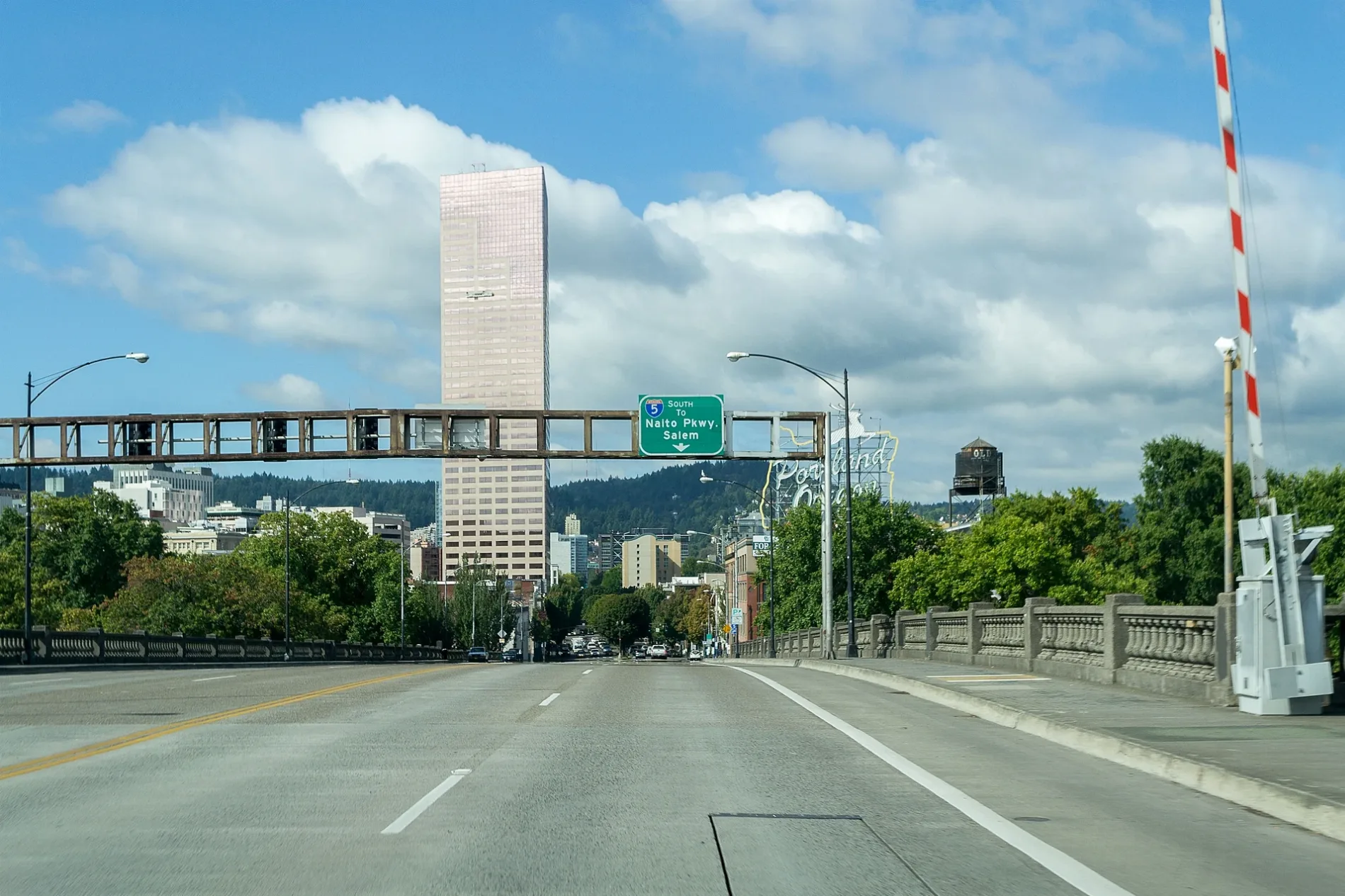
East Burnside Street in Montavilla, Portland, Oregon
East Burnside Street in Montavilla in Portland is a two-lane local road. The street has sidewalks. The street has bike paths (bike lane) in some sections. It crosses a bridge. It runs in an east-west direction and crosses Northeast 30th Avenue, Northeast 29th Avenue, Northeast 28th Avenue, Northeast 26th Avenue, Northeast 24th Avenue, Northeast 22nd Avenue, Northeast 20th Avenue, Northeast 19th Avenue, Northeast 18th Avenue, Northeast 17th Avenue, Northeast 16th Avenue and Northeast 15th Avenue. It connects Hazelwood, Buckman, Montavilla, Mount Tabor, Glenfair and Kerns. This street is part of the Bicycle route "Veteran's Memorial Greenway" as well as the Hiking trail "I-205 Multi-Use Path". Nearby you can find among others a restaurant, a hair salon, a mailbox and a place of worship. The nearest stops include East Burnside & Northeast 94th, Southeast 82nd & East Burnside, East Burnside & Northeast 82nd, East Burnside & Southeast 87th and East Burnside & Northeast 87th. The bus lines 20 and 72 serve this stop. Ⓦ.
- Bicycle
- designated
- Road Type
- local road
- Lanes
- 2
- Speed Limit
- 30 mph
- Route
- east-west
Image
Places of worship
Bus stops
- bus lines 20, 72
Streets nearby
Northeast 94th AvenueAmenities nearby
Hartzog ApartmentsApartment buildings nearby
Timberview VIIIBuildings nearby
Portland Legal Group: Personal Injury LawyersCar rentals nearby
EnterpriseCemeteries nearby
Brainard CemeteryCommercial buildings nearby
Hawks PDXDentist's offices nearby
Kaiser Permanente Glisan Dental OfficeFast food restaurants nearby
Taco BellHotels nearby
RamadaLight rail stops nearby
East 102nd AvenueMotels nearby
Chesnut Tree InnNightclubs nearby
Club 205 TavernPlaces of worship nearby
Eastside Church of ChristResidential areas nearby
Gateway Plaza ApartmentsRestaurants nearby
Elmer'sSchool buildings nearby
Outlaw CenterOther nearby
Russellville Substation| Length | 17.6 |
|---|---|
| Located in | Portland |
| Country | United States |
| Railway | |
| Bus | |
| Streetcar |
| Bike path | |
| Bike lane on roadway | |
| Cycling allowed on bus lane | |
| Bicycle street | |
| Open to cyclists | |
| Open to cyclists, good path | |
| Cycling prohibited | |
| Cobblestone |
| Long-distance bike route | (depending on scale) | |
| Long-distance bike route |
| Path |
| Long-distance hiking trail | (depending on scale) | |
| Long-distance hiking trail | ||
| Pedestrians prohibited |