
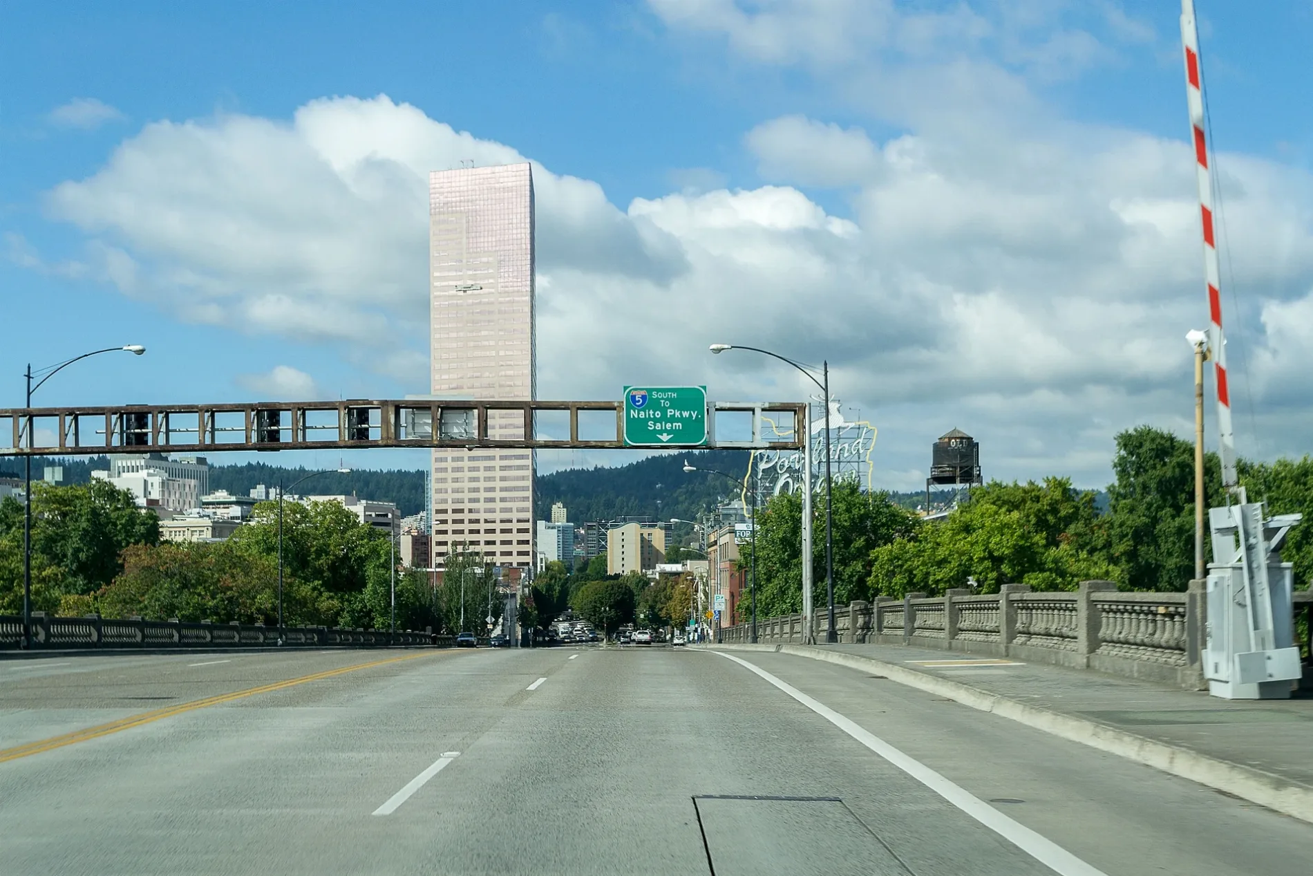
East Burnside Street in Mount Tabor, Portland, Oregon
East Burnside Street in Mount Tabor in Portland is a two-lane, asphalted secondary road. The street has sidewalks. It runs in an east-west direction and crosses Northeast 30th Avenue, Northeast 29th Avenue, Northeast 28th Avenue, Northeast 26th Avenue, Northeast 24th Avenue, Northeast 22nd Avenue, Northeast 20th Avenue, Northeast 19th Avenue, Northeast 18th Avenue, Northeast 17th Avenue, Northeast 16th Avenue and Northeast 15th Avenue. It connects Hazelwood, Buckman, Montavilla, Mount Tabor, Glenfair and Kerns. This street is part of 1 Bicycle route. Nearby you can find among others 2 vending machines, a restaurant, a bar and a cafe. The nearest stops include East Burnside & Southeast 67th, East Burnside & 63rd, East Burnside & Southeast 69th, East Burnside & Northeast 69th and East Burnside & Northeast 58th. The bus line 20 stops here. Ⓦ.
- Road Type
- local road
- Lanes
- 2
- Speed Limit
- 30 mph
- Route
- east-west
Image
Bars
ATMs
Bus stops
- bus lines 20
Streets nearby
Northeast Gilham AvenueBakeries nearby
Fressen Cafe and BakeryConstruction sites nearby
Beacon at Glisan LandingHair salons nearby
Detangle Hair SalonPet stores nearby
PetcoPlaces of worship nearby
Living God ChurchResidential areas nearby
The Little Village| Located in | Portland |
|---|---|
| Country | United States |
| Railway | |
| Bus | |
| Streetcar |
| Bike path | |
| Bike lane on roadway | |
| Cycling allowed on bus lane | |
| Bicycle street | |
| Open to cyclists | |
| Open to cyclists, good path | |
| Cycling prohibited | |
| Cobblestone |
| Long-distance bike route | (depending on scale) | |
| Long-distance bike route |
| Path |
| Long-distance hiking trail | (depending on scale) | |
| Long-distance hiking trail | ||
| Pedestrians prohibited |