
Southeast 32nd Place in Sunnyside, Portland, Oregon
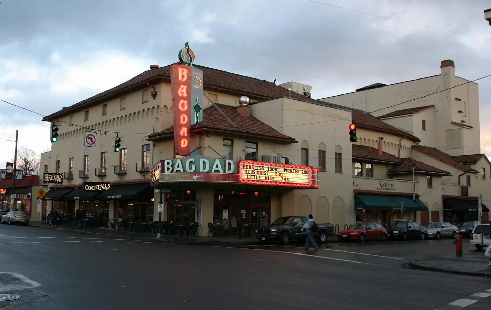
Southeast 32nd Place in Sunnyside in Portland is an asphalted, lit residential street. The street has sidewalks. It runs in a north-south direction starting from Southeast Salmon Street and crosses Southeast Main Street and Southeast Madison Street.
- Road Type
- residential street
- Speed Limit
- 20 mph
- Route
- north-south
Image
Bus stops
Wine shops
Gift shops
Banks
Bakeries
Fast food restaurants
Clothing stores
Libraries
Galleries
- High Low Art Space (Jim Gion, Web) at Southeast 34th Avenue 936 (97214) – approx. 0.2 mi.
Restaurants
Secondhand stores
Cafes
Opticians
Outdoor stores
Bars
Streets nearby
Southeast 33rd AvenueNeza
400 ft
Southeast 31st Avenue0.1 mi
Southeast 32nd AvenueTōv
0.2 mi
Southeast 30th Avenue0.2 mi
Southeast Yamhill StreetSunnyside, Tesla Supercharger
0.2 mi
Southeast Salmon StreetIn-Home Music Lessons | Piano, Voice & Guitar | Portland
0.2 mi
Southeast 29th Avenue0.2 mi
Southeast Alder Court0.4 mi
Amenities nearby
Parting Waters Mediation500 ft
Shops nearby
Thunder Kitty Games & Gifts550 ft
Apartment buildings nearby
The Glenn500 ft
Abernethy Court0.1 mi
Banks nearby
Rivermark0.3 mi
Bars nearby
Gold Dust Meridian350 ft
Suki's II0.2 mi
Beauty salons nearby
Magis Nails & Spa450 ft
Deluxe Nails & Spa550 ft
Bookstores nearby
Backstory Books and Yarn500 ft
Buildings nearby
Elemental Medicine0.3 mi
Genoa Building0.3 mi
Clothing stores nearby
House of Vintage400 ft
I Want Seconds500 ft
Commercial areas nearby
Abbey House0.2 mi
Convenience stores nearby
Hawthorne Market0.2 mi
Plaid Pantry0.3 mi
Electronics stores nearby
Iphone Repair500 ft
Fast food restaurants nearby
Rovente Pizzeria500 ft
Gift shops nearby
Tibet Spirit500 ft
Gun stores nearby
Hawthorne Cutlery500 ft
Hair salons nearby
Salon 29500 ft
Herbalists nearby
Glasshaus Gardens550 ft
Laundries nearby
Belmont Eco Laundry0.2 mi
Pet stores nearby
Mud Bay0.1 mi
Places of worship nearby
Door of Hope0.1 mi
Pubs nearby
Bazi550 ft
Residential areas nearby
The Odessa0.1 mi
Pembrook Garden0.2 mi
Del Mar0.2 mi
Burrell Court0.2 mi
Belmont Townhomes0.3 mi
Restaurants nearby
TarBoush350 ft
The Hazel Room350 ft
Khao Moo Dang450 ft
Que Bacano Restaurant500 ft
El Cubo de Cuba0.1 mi
Mai Thai Restaurant0.2 mi
Retail buildings nearby
The Conifer Group0.1 mi
Supermarkets nearby
H Mart0.3 mi
Other nearby
Alder Substation0.2 mi
Public transit map Sunnyside Legend
| Railway | |
| Bus | |
| Streetcar |
Bicycle map Sunnyside Legend
| Bike path | |
| Bike lane on roadway | |
| Cycling allowed on bus lane | |
| Bicycle street | |
| Open to cyclists | |
| Open to cyclists, good path | |
| Cycling prohibited | |
| Cobblestone |
| Long-distance bike route | (depending on scale) | |
| Long-distance bike route |
Pedestrian map Sunnyside Legend
| Path |
| Long-distance hiking trail | (depending on scale) | |
| Long-distance hiking trail | ||
| Pedestrians prohibited |