
South Military Road in Multnomah County, Oregon
South Military Road in Multnomah County is a two-lane, asphalted residential street. The street has partly no sidewalks. It runs in a southeast-northwest direction starting from South Palatine Hill Road and crosses South Vacuna Street, South Aventine Circus, South Military Place, South Summerville Avenue, South Corbett Hill Circle, South Breyman Avenue, South Riverwood Road, South Military Court, South Military Lane, South Riverside Drive and South Breyman Court. The nearest stop is Southwest Riverside & Military. The bus line 35 stops here.
- Bicycle
- designated
- Road Type
- local road
- Lanes
- 2
- Route
- southeast-northwest
Image
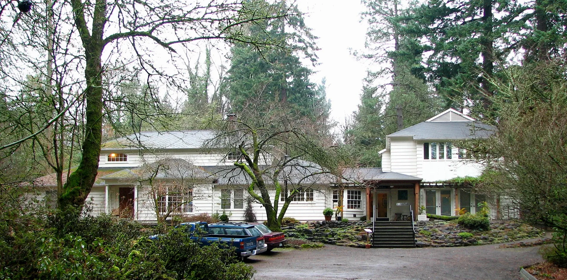
Bus stops
- bus lines 35
Streets nearby
South Tryon Hill Road0.2 mi
South Summerville Avenue0.2 mi
South Military Place0.2 mi
South Mary Failing Court0.2 mi
South Corbett Hill Circle0.2 mi
South Greenwood RoadDunthorpe
0.2 mi
South Breyman Avenue0.3 mi
South Breyman Court0.3 mi
South Edgecliff Road0.4 mi
South Buddington Street0.4 mi
South Military Lane0.4 mi
South Riverside DriveSouthwest Riverside & Greenwood, Southwest Riverside & Breyman, Southwest Riverside & Riverwood, Southwest Riverside & Military, Southwest Riverside & Palatine Hill, Southwest Riverside & Riverdale, Southwest Riverside & Radcliffe
0.4 mi
South Mary Failing Drive0.4 mi
South Military Court0.4 mi
South Iron Mountain Boulevard0.4 mi
South Aventine Circus0.4 mi
South Vacuna Street0.4 mi
South Elk Rock Road0.5 mi
Southwest Iron Mountain Boulevard0.5 mi
South Powers Court0.5 mi
Southwest Edgecliff Road0.5 mi
South Northgate Avenue0.5 mi
South Castleridge Lane0.5 mi
South Elysium Avenue0.5 mi
South Pomona Street0.5 mi
South Fielding Road0.5 mi
South Northgate Court0.5 mi
South Tryon Avenue0.5 mi
Elk Rock Road0.5 mi
South Collina Avenue0.5 mi
South Aventine Avenue0.5 mi
South Riverwood Road0.6 mi
Southwest Midvale RoadBriarwood, Birdshill
0.6 mi
South Alta Mira Lane0.6 mi
Southwest Underhill Road0.6 mi
South Comus Street0.6 mi
South Fletcher Road0.6 mi
Terwilliger Trail0.6 mi
South Esquiline Circus0.6 mi
Southwest Glen Road0.6 mi
South Palatine Hill Road0.6 mi
Riverside DriveSouthwest Riverside & Midvale, Southwest Riverside & Briarwood, Southwest Riverside & Elk Rock
0.6 mi
Briarwood Lane0.7 mi
Southwest Birdshill Road0.7 mi
Briarwood Road0.7 mi
Iron Mountain Trail0.7 mi
Fielding Road0.7 mi
 Public transit map Multnomah County Legend
| Railway | |
| Bus | |
| Streetcar |
 Bicycle map Multnomah County Legend
| Bike path | |
| Bike lane on roadway | |
| Cycling allowed on bus lane | |
| Bicycle street | |
| Open to cyclists | |
| Open to cyclists, good path | |
| Cycling prohibited | |
| Cobblestone |
| Long-distance bike route | (depending on scale) | |
| Long-distance bike route |
 Pedestrian map Multnomah County Legend
| Path |
| Long-distance hiking trail | (depending on scale) | |
| Long-distance hiking trail | ||
| Pedestrians prohibited |