
Westport Lane in Umatilla County, Oregon
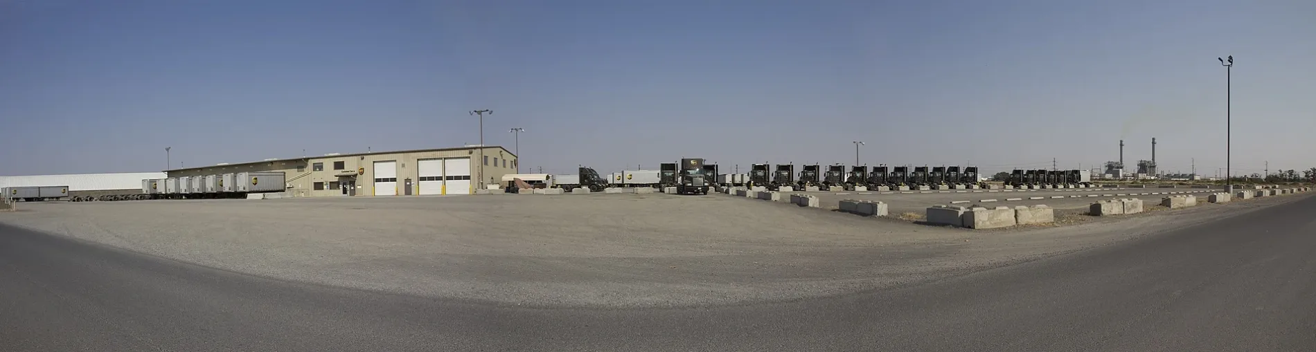
Westport Lane in Umatilla County is a two-lane, asphalted unclassified road. It runs in an east-west direction and ends at Westland Road, while the other end is a cul-de-sac.
- Road Type
- unclassified road
- Lanes
- 2
- Route
- east-west
Image
Streets nearby
Stable Lane0.1 mi
Generation Road0.3 mi
Westland Road0.3 mi
Northwest Livestock Road0.3 mi
Old Oregon Trail HighwayChain Up Area
0.4 mi
Stafford Hansel RoadWestern Express
0.5 mi
Lamb Road0.5 mi
McNary Highway0.7 mi
Freedom Lane0.8 mi
Cottonwood Bend Road1.1 mi
Bloom Road1.4 mi
Walker Road1.4 mi
Noble Road1.5 mi
Agnew Road1.5 mi
Colonel Jordan Road1.6 mi
5th Street1.9 mi
C Street2.0 mi
Cedar Street2.0 mi
D Street2.0 mi
Ordnance Road2.0 mi
South Street2.1 mi
A Street2.1 mi
Echols Road2.2 mi
Feedville Road2.4 mi
Minnehaha Road2.4 mi
Bridge Road2.5 mi
Mary Lane2.5 mi
Horizon Lane2.6 mi
Maxwell Lane2.6 mi
Looking Glass Lane2.7 mi
Hurricane Lane2.7 mi
Wilgers Way2.7 mi
Madison Sayler Road2.8 mi
Lewis Road2.8 mi
Buildings nearby
Amazon PDX800.7 mi
Amazon Web Services1.0 mi
Canals nearby
High Line Canal2.0 mi
Westland A Canal2.1 mi
Ditches nearby
A Line Canal1.5 mi
Maxwell Canal1.5 mi
Fire stations nearby
Umatilla Chemical Depot Fire Station2.0 mi
Umatilla County District 1 - Station 232.2 mi
Industrial areas nearby
Lamb Weston0.6 mi
Hermiston Generating Plant0.7 mi
Americold0.9 mi
Railways nearby
UP Portland Subdivision0.3 mi
US Government Railroad2.7 mi
Residential areas nearby
South Lewis Estates2.7 mi
Waters nearby
Wink Pond1.1 mi
 Public transit map Umatilla County Legend
| Railway | |
| Bus | |
| Streetcar |
 Bicycle map Umatilla County Legend
| Bike path | |
| Bike lane on roadway | |
| Cycling allowed on bus lane | |
| Bicycle street | |
| Open to cyclists | |
| Open to cyclists, good path | |
| Cycling prohibited | |
| Cobblestone |
| Long-distance bike route | (depending on scale) | |
| Long-distance bike route |
 Pedestrian map Umatilla County Legend
| Path |
| Long-distance hiking trail | (depending on scale) | |
| Long-distance hiking trail | ||
| Pedestrians prohibited |