
Northeast Logan Street in Enterprise, Oregon
Northeast Logan Street in Enterprise is a residential street. It runs in an east-west direction starting from Northwest Logan Street and crosses North River Street, Northeast 1st Street and Northeast 2nd Street. It ends in a cul-de-sac. Northeast Logan Street also exists in Yamhill County.
- Road Type
- residential street
- Route
- east-west
Image
Gas stations
Auto repair shops
Tourist information centers
Cafes
Supermarkets
Restaurants
Streets nearby
Northeast 2nd Street350 ft
Northeast Park Street350 ft
East North Street500 ft
Northeast 3rd Street0.1 mi
Northeast 1st Street0.1 mi
Northeast Garfield Street0.1 mi
North East Park Street0.1 mi
East Main Street0.1 mi
North River Street0.2 mi
Northwest Logan Street0.2 mi
Northeast 5th Street0.2 mi
East Greenwood Street0.2 mi
Northeast Silver Street0.2 mi
Southeast 1st Street0.2 mi
Northwest 1st Street0.2 mi
Northwest Silver Street0.2 mi
Northeast 4th Street0.2 mi
Northeast Alder Street0.3 mi
Wagner Street0.3 mi
Northwest Alder Street0.3 mi
Northeast Chico Road0.3 mi
East Flora Street0.3 mi
West Flora Street0.3 mi
Northeast Vista Drive0.4 mi
Northwest Flora Street0.4 mi
Northeast Summit Drive0.4 mi
Northeast Glendale Avenue0.4 mi
Northeast Hyland Drive0.4 mi
Artworks nearby
Eagle0.2 mi
Banks nearby
STCU0.2 mi
Umpqua Bank0.2 mi
Buildings nearby
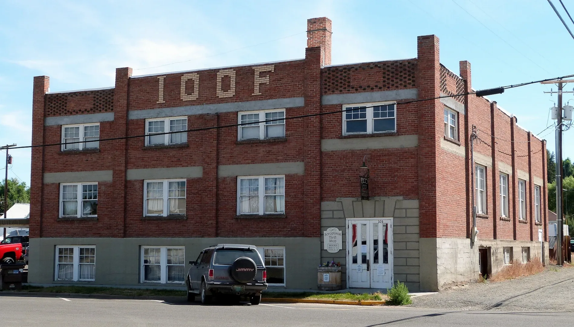
I.O.O.F. Lodge500 ft
Burnaugh0.1 mi
Ziply Fiber0.2 mi
Wallowa County Chieftain0.2 mi
Sam Litich0.2 mi
Wallowa County Library0.2 mi
Car dealerships nearby
Milligan Motors500 ft
Cemeteries nearby
Enterprise Cemetery0.3 mi
Commercial buildings nearby
Wallowa Title Company0.2 mi
Courthouses nearby
Wallowa County Courthouse0.2 mi
Fire stations nearby
Enterprise Fire Department0.1 mi
Hardware stores nearby
Ace Hardware0.1 mi
Libraries nearby
Enterprise Public Library0.1 mi
Motorcycle shops nearby
Outlaw Motor Sports0.3 mi
Places of worship nearby
Saint Katherine of Siena Catholic Church0.2 mi
Post offices nearby
Enterprise Post Office0.2 mi
Restaurants nearby
El Bajio0.2 mi
Town halls nearby
Enterprise City Hall0.1 mi
Public transit map Enterprise Legend
| Railway | |
| Bus | |
| Streetcar |
Bicycle map Enterprise Legend
| Bike path | |
| Bike lane on roadway | |
| Cycling allowed on bus lane | |
| Bicycle street | |
| Open to cyclists | |
| Open to cyclists, good path | |
| Cycling prohibited | |
| Cobblestone |
| Long-distance bike route | (depending on scale) | |
| Long-distance bike route |
Pedestrian map Enterprise Legend
| Path |
| Long-distance hiking trail | (depending on scale) | |
| Long-distance hiking trail | ||
| Pedestrians prohibited |