
Northwest Park Street in Enterprise, Oregon
Northwest Park Street in Enterprise is a residential street. It runs in an east-west direction starting from Northwest Holmes Street and crosses Lyle Street, Northwest Robert Street, Northwest 3rd Street, Northwest 2nd Street, Northwest 1st Street and North River Street and ends at Northeast Park Street. Northwest Park Street also exists in Douglas County.
- Road Type
- residential street
- Route
- east-west
Image
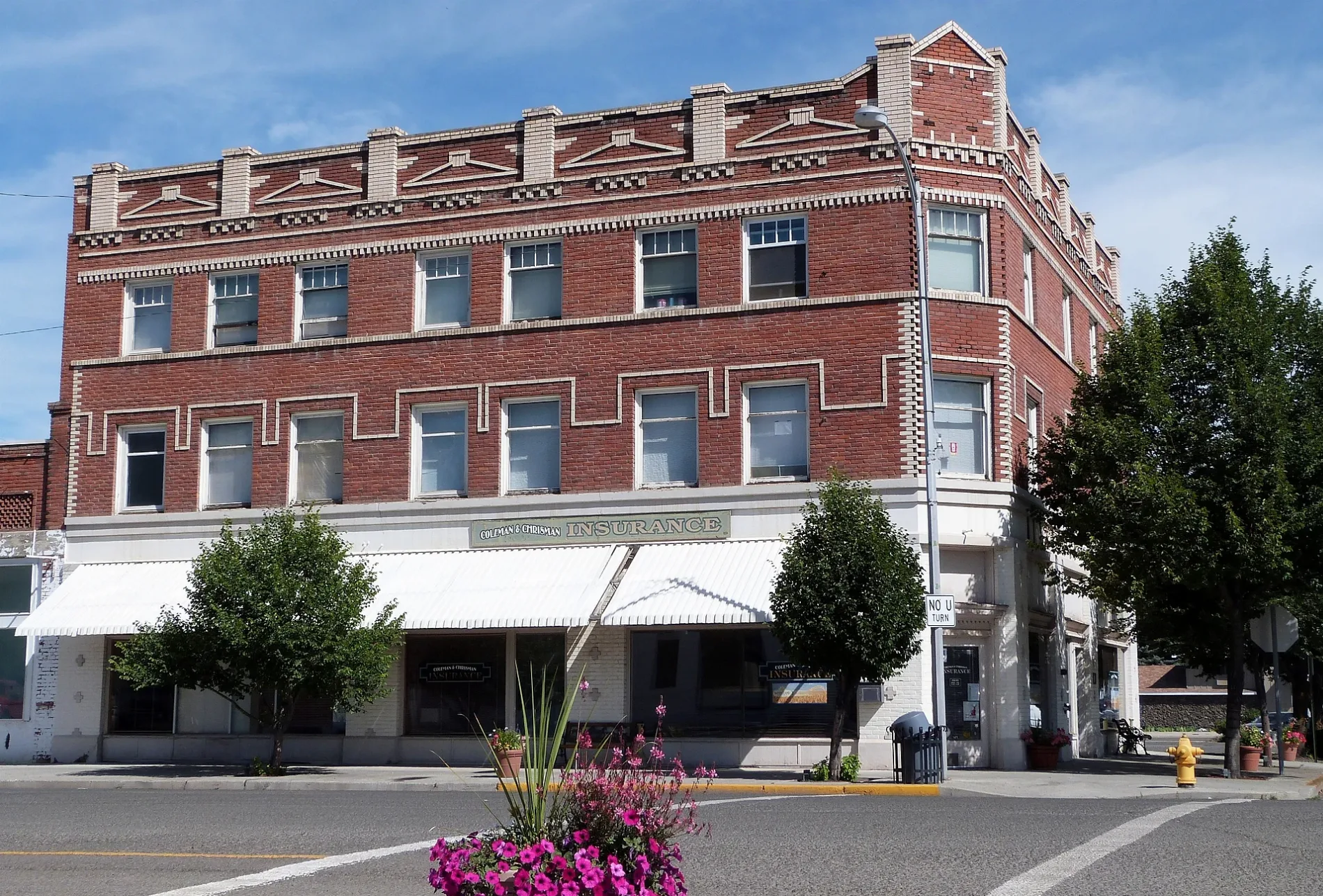
Auto repair shops
Gas stations
Supermarkets
Streets nearby
Northwest Margaret Street400 ft
Northwest 3rd Street450 ft
Northwest Garfield Street450 ft
Northwest Robert Street550 ft
Northwest 2nd Street0.1 mi
Lyle Street0.1 mi
West North StreetChevron
0.1 mi
Northwest Silver Street0.1 mi
Northwest Arthur Street0.1 mi
Northwest 1st Street0.2 mi
Northwest Forsythe Street0.2 mi
Northwest Logan Street0.2 mi
Northwest Holmes Street0.2 mi
West Main StreetGypsy Java, Enterprise, Main Street Motors
0.2 mi
Southwest Depot Street0.2 mi
North River Street0.2 mi
Southwest 2nd Street0.2 mi
West Greenwood Street0.3 mi
Southwest Forsythe Street0.3 mi
Southwest Holmes Street0.3 mi
Southwest 1st Street0.3 mi
Medical Parkway0.3 mi
Northeast 1st Street0.3 mi
Northwest Alder Street0.3 mi
Northwest Flora Street0.3 mi
East Flora Street0.3 mi
West Flora Street0.3 mi
Auto parts stores nearby
NAPA Auto Parts Thompson Auto Supply0.2 mi
Banks nearby
STCU0.1 mi
Umpqua Bank0.2 mi
Buildings nearby
Wallowa County Library0.1 mi
Wallowa County Chieftain0.2 mi
Ziply Fiber0.2 mi
Keltner0.3 mi
Enterprise Building0.3 mi
Cafes nearby
Red Rooster Cafe0.2 mi
Car dealerships nearby
Milligan Motors0.3 mi
Car washes nearby
Chopper's Carwash0.1 mi
Commercial buildings nearby
Elks Lodge0.1 mi
Hardware stores nearby
Ace Hardware0.2 mi
Hotels nearby
The Wilderness Inn0.1 mi
Industrial buildings nearby
Weaver Machine & Welding0.1 mi
Motorcycle shops nearby
Outlaw Motor Sports0.2 mi
Parks nearby
Warde Park0.2 mi
Pharmacies nearby
Olive Branch0.1 mi
Places of worship nearby
Grace Lutheran Church0.2 mi
Post offices nearby
Enterprise Post Office0.2 mi
Restaurants nearby
El Bajio0.2 mi
Supermarkets nearby
Safeway0.2 mi
 Public transit map Enterprise Legend
| Railway | |
| Bus | |
| Streetcar |
 Bicycle map Enterprise Legend
| Bike path | |
| Bike lane on roadway | |
| Cycling allowed on bus lane | |
| Bicycle street | |
| Open to cyclists | |
| Open to cyclists, good path | |
| Cycling prohibited | |
| Cobblestone |
| Long-distance bike route | (depending on scale) | |
| Long-distance bike route |
 Pedestrian map Enterprise Legend
| Path |
| Long-distance hiking trail | (depending on scale) | |
| Long-distance hiking trail | ||
| Pedestrians prohibited |