
Northeast Pacific Highway West in McMinnville, Oregon
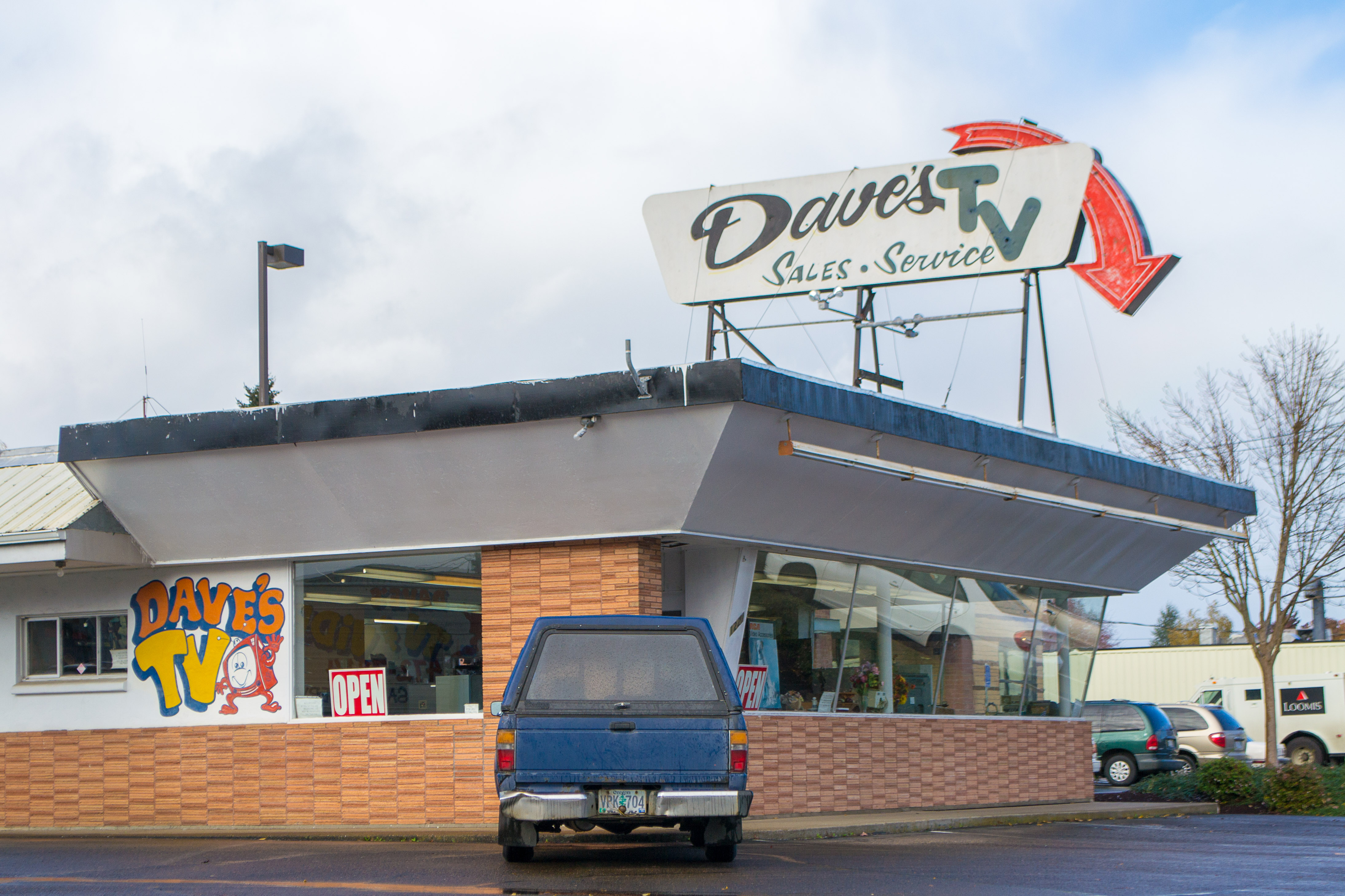
Northeast Pacific Highway West in McMinnville is a four-lane, asphalted, lit expressway (Road number OR 99W). The street has partly sidewalks. It runs in a northeast-southwest direction starting from Northeast Adams Street and crosses Northeast Baker Street, Northeast 17th Street, Northeast 19th Street, Northeast Baker Creek Road, Northeast Evans Street, Northeast McDonald Lane, Northeast McDaniel Lane, Northeast Grandhaven Drive, Northeast Lafayette Avenue, Northeast Doran Drive and Northeast Riverside Drive. This street is part of the highways 99W and Pacific Highway West. Nearby you can find among others 4 fast food restaurants, 3 restaurants, 2 dentist offices and a pet store.
- Road Type
- expressway
- Lanes
- 4
- Speed Limit
- 35 mph
- Route
- northeast-southwest
Image
Dentist offices
Hearing aid centers
Laundries
Fast food restaurants
Stationery stores
Hair salons
Specialty stores
Streets nearby
Northeast 15th Street400 ft
Northeast Adams StreetReel Hollywood Video, Soper Fountain
400 ft
Northwest 17th Street450 ft
Northeast Baker StreetDollar Tree, WildWood Cafe, Chevron
0.1 mi
Northwest 14th Street0.1 mi
Northeast 17th Street0.1 mi
Northwest 16th Street0.2 mi
Northwest Birch Street0.2 mi
Northwest 15th Street0.2 mi
Northeast 13th Street0.2 mi
Northeast 14th Street0.2 mi
Northwest 13th StreetMcMinnville Adventist Christian School
0.2 mi
Northeast 12th StreetShaggy's Den Smoke Shop
0.2 mi
Northeast Cowls StreetMcMinnville Liquor Store, Mac Nails, Mi Lindo Nayarit Seafood Bar and Grill, Rent-A-Center, Freddie's Pub, McMinnville School District Family Resource Center
0.2 mi
Northeast 19th StreetRite Aid
0.2 mi
Northwest Cedar Street0.2 mi
Northeast Evans StreetAt Home Mattress, Little Caesars, Spa Cha Cha, Thistle
0.2 mi
Northeast 11th Street0.3 mi
Northeast 21st Street0.3 mi
Northwest 20th Street0.3 mi
Northeast 10th Street0.3 mi
Northwest Elm Street0.3 mi
Northwest Yamhill Street0.3 mi
Northwest 18th Place0.3 mi
Northwest 19th Street0.4 mi
Northwest 12th Street0.4 mi
Northeast 9th Street0.4 mi
Northwest 9th Street0.4 mi
Northwest 18th Street0.4 mi
Northwest Fir Street0.4 mi
Northwest Thomsen Lane0.4 mi
Northeast 8th Street0.4 mi
Northwest 10th Street0.4 mi
Northwest 8th Street0.4 mi
Northeast 7th StreetGeoff & Kerry
0.5 mi
Northwest 11th Street0.5 mi
Northwest Alder Street0.5 mi
Northwest 7th StreetDave's Station
0.5 mi
Northwest 6th StreetInternational Community School
0.5 mi
Auto parts stores nearby
AutoZone300 ft
Banks nearby
Wells Fargo0.1 mi
Buildings nearby
Express Employment Professionals0.4 mi
Baker Street Real Estate0.4 mi
Fast food restaurants nearby
Dairy Queen0.2 mi
Nancy Jo's Burgers and Fries0.3 mi
Florists nearby
Incahoots0.3 mi
Parks nearby
Cowls Street Tennis Courts0.2 mi
Restaurants nearby
Muchas Gracias0.2 mi
Tire dealers nearby
Les Schwab Tire Center0.1 mi
Public transit map McMinnville Legend
| Railway | |
| Bus | |
| Streetcar |
Bicycle map McMinnville Legend
| Bike path | |
| Bike lane on roadway | |
| Cycling allowed on bus lane | |
| Bicycle street | |
| Open to cyclists | |
| Open to cyclists, good path | |
| Cycling prohibited | |
| Cobblestone |
| Long-distance bike route | (depending on scale) | |
| Long-distance bike route |
Pedestrian map McMinnville Legend
| Path |
| Long-distance hiking trail | (depending on scale) | |
| Long-distance hiking trail | ||
| Pedestrians prohibited |