
Cessna Way in Central Lawrenceville, Pittsburgh, Pennsylvania
Cessna Way in Central Lawrenceville in Pittsburgh is a service road. It runs in a northeast-southwest direction starting from 45th Street and crosses Service Way and ends at 44th Street.
- Road Type
- service road
- Route
- northeast-southwest
Image
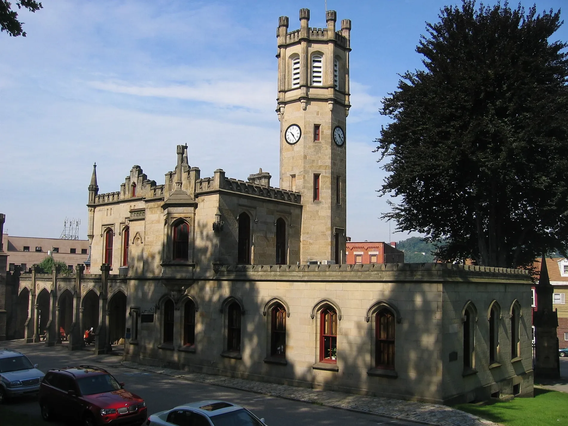
Beauty salons
Convenience stores
Clothing stores
Hair salons
Shoe stores
Restaurants
Tattoo studios
Opticians
Toy stores
Funeral homes
Bus stops
Bars
Furniture stores
Places of worship
Massage therapy clinics
Streets nearby
Summit Street400 ft
Belltower Lane400 ft
45th StreetNew Amsterdam, Banh Mi & Ti
450 ft
Pleasant WayNew Bethel Baptist Church
450 ft
44th StreetWalter J. Zalewski Funeral Homes, In, Dental Services, Pediatric, The Parlor Dim Sum
0.1 mi
43 1/2 Street0.1 mi
43rd StreetUPMC Greater Pittsburgh Medical Associates, Mr Friez, Cork Harbour Pub, Condado Tacos
0.1 mi
Percy Way0.1 mi
Saint Johns Way0.2 mi
Plummer Street0.2 mi
Arsenal Way0.2 mi
Locarna Way0.2 mi
Urbana Way0.2 mi
Eden WayArsenal Post Office, Walter's Southern Kitchen
0.2 mi
Banner Way0.2 mi
Bessemer Street0.2 mi
Davison Street0.2 mi
41st StreetFine Wine & Good Spirits
0.2 mi
Bowery Way0.2 mi
Smith Way0.2 mi
Willow Street0.2 mi
Fisk StreetPaint Monkey
0.2 mi
Almond WayButler Street Coin-Operated Laundromat, Pittsburgh Kitchenrama, Cilantro & Ajo Lawrenceville
0.2 mi
40th StreetLawrenceville, 40th St at Penn Ave NS, Pittsburgh Arsenal 6-8, 40th St Opp Davidson St, 40th St at Davidson St FS, 40th St at Butler St, TRYP - Pittsburgh/Lawrenceville
0.3 mi
40th Street Bridge0.3 mi
Bay 41Lawrenceville Farmers Market
0.3 mi
Government Way0.3 mi
39th StreetArsenal Cider House, Pittsburgh Arsenal PreK-5, 39th St at Butler St, Scott Electric Lawrenceville
0.4 mi
Mineral WayCOLOMBINO Coffee
0.4 mi
Butler StreetWilliam Penn Tavern, Butler St at 39th St, Butler St at 38th St, Butler St at Penn Ave, Butler St at Penn Ave FS, Espresso A Mano, Pita My Shawarma, Long Story Short (Formerly Cinderlands Foederhouse), Field Day, POGOH - Butler Street & 36th Street, Butler St at 37th St, Butler St at 36th St, Butler St Opp 35th St, Butler St at 35th St, Esquina Cantina, Umami, Driftwood Oven, Frankie's Extra Long, Morcilla, Poulet Bleu, Butler St at 40th St NS, Starbucks
0.4 mi
Foster Way0.4 mi
Obregon Street0.4 mi
Shops nearby
Market House0.1 mi
Bars nearby
Belvedere's0.2 mi
Buildings nearby
Diglah Middle Eastern Restaurant and Hookah Lounge0.1 mi
Cafes nearby
Thunderbird Cafe0.2 mi
Commercial buildings nearby
PNC Bank0.2 mi
Community centers nearby
Stephen Foster Community Center0.3 mi
Event venues nearby
Cattivo0.2 mi
Fast food restaurants nearby
Wendy's0.2 mi
Funeral homes nearby
Zalewski Funeral Home200 ft
Gas stations nearby
GetGo0.2 mi
Hair salons nearby
Evolve0.2 mi
Libraries nearby
Carnegie Library of Pittsburgh - Lawrenceville0.3 mi
Places of worship nearby
Holy Family Church400 ft
Playgrounds nearby
Arsenal Park Playground0.3 mi
Restaurants nearby
The Vandal400 ft
Mi Empanada0.2 mi
School buildings nearby
Arsenal School0.3 mi
Public transit map Central Lawrenceville Legend
| Railway | |
| Bus | |
| Streetcar |
Bicycle map Central Lawrenceville Legend
| Bike path | |
| Bike lane on roadway | |
| Cycling allowed on bus lane | |
| Bicycle street | |
| Open to cyclists | |
| Open to cyclists, good path | |
| Cycling prohibited | |
| Cobblestone |
| Long-distance bike route | (depending on scale) | |
| Long-distance bike route |
Pedestrian map Central Lawrenceville Legend
| Path |
| Long-distance hiking trail | (depending on scale) | |
| Long-distance hiking trail | ||
| Pedestrians prohibited |