
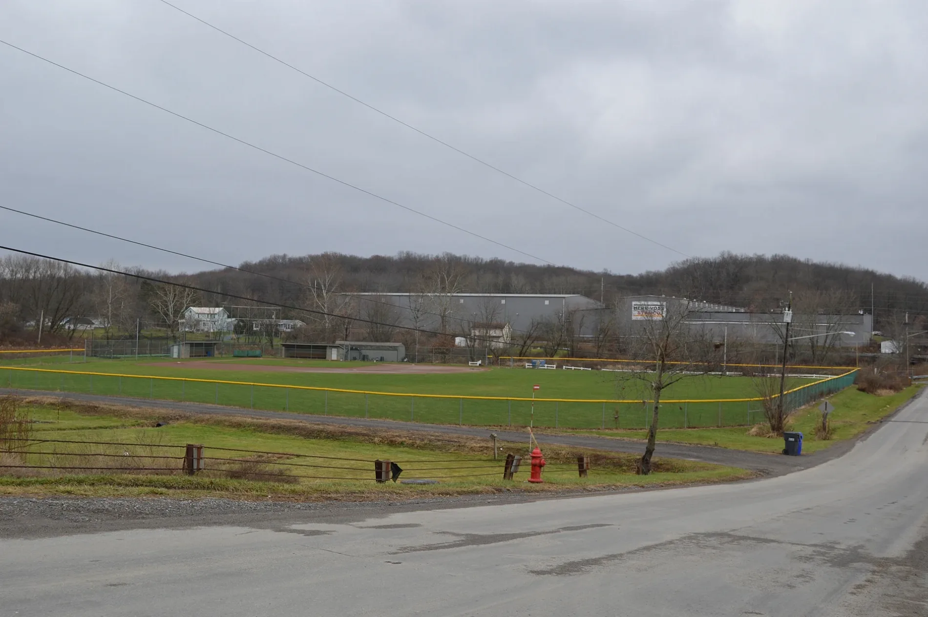
Mars Evans City Road in Callery, Pennsylvania
Mars Evans City Road in Callery is a two-lane, asphalted secondary road and runs in a southeast-northwest direction and crosses Kline Avenue and Center Street. Nearby you can find among others a hardware store and a fast food restaurant.
- Road Type
- secondary road
- Lanes
- 2
- Speed Limit
- 45 mph
- Route
- southeast-northwest
Image
Streets nearby
Spring Drive200 ft
Woodford Drive500 ft
Lynwood Drive0.1 mi
Center Street0.1 mi
Staples AvenueCallery Post Office
0.3 mi
Church Street0.3 mi
Main StreetCallery Fire Department
0.3 mi
Middle Lane0.3 mi
Cherry Alley0.3 mi
Cahall Lane0.4 mi
Breakneck Street0.4 mi
Cole Lane0.4 mi
Maple Drive0.4 mi
Caloma Lane0.4 mi
Kline AvenueCallery, Crestview United Presbyterian
0.4 mi
Railroad Street0.5 mi
Pauline Place0.5 mi
Euclid Avenue0.5 mi
Elgin Lane0.5 mi
June Bug Drive0.5 mi
Walnut Lane0.6 mi
Melrose Avenue0.6 mi
Chapel Ridge Lane0.7 mi
Elgin Court0.7 mi
Marburger Road0.7 mi
Myoma Road0.7 mi
Main Street Extension0.7 mi
Cloverdale Drive0.8 mi
Bingham Lane0.8 mi
Winter Run Lane0.9 mi
Shannon Lane0.9 mi
Hunterfield Court0.9 mi
Merced Lane1.0 mi
Wagner Road1.0 mi
Ramblewood Lane1.0 mi
Bradley Lane1.0 mi
Gracie Lane1.0 mi
Union Church RoadOld Union Church
1.1 mi
Wickerham Drive1.1 mi
Fordham Avenue1.1 mi
Windham Lane1.2 mi
Cashdollar Road1.2 mi
Brighton Lane1.2 mi
Pond Lane1.3 mi
Industrial areas nearby
Breakneck Creek Sewage Treatment Plant1.3 mi
Places of worship nearby
Crestview United Presbyterian0.4 mi
Streams nearby
Breakneck Creek0.2 mi
Other nearby
Callery Substation0.7 mi
Concast Substation1.0 mi
Public transit map Callery Legend
| Railway | |
| Bus | |
| Streetcar |
Bicycle map Callery Legend
| Bike path | |
| Bike lane on roadway | |
| Cycling allowed on bus lane | |
| Bicycle street | |
| Open to cyclists | |
| Open to cyclists, good path | |
| Cycling prohibited | |
| Cobblestone |
| Long-distance bike route | (depending on scale) | |
| Long-distance bike route |
Pedestrian map Callery Legend
| Path |
| Long-distance hiking trail | (depending on scale) | |
| Long-distance hiking trail | ||
| Pedestrians prohibited |