
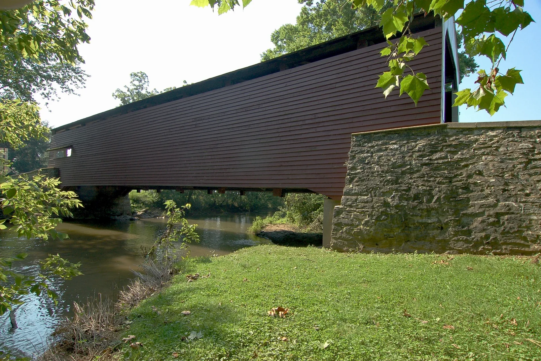
Schenck's Mill Covered Bridge in Rapho Township, Pennsylvania
Schenck's Mill Covered Bridge in Rapho Township is a single-lane residential street. It runs in an east-west direction starting from South Erisman Road. Ⓦ.
- Road Type
- residential street
- Lanes
- 1
- Route
- east-west
Image
Fast food restaurants
Fire stations
Tourist information centers
Tobacco shops
Auto repair shops
Places of worship
Specialty stores
Hair salons
Restaurants
Cell phone stores
Hotels
Beauty salons
Post offices
Streets nearby
Erisman Road100 ft
Shenck Road150 ft
Auction Road0.3 mi
Spooky Nook Road0.6 mi
Wood Alley0.8 mi
Holland Street0.9 mi
Chiques Road0.9 mi
North Alley0.9 mi
West Main Street0.9 mi
Main Street0.9 mi
Prospect RoadPNC Bank, Ironville
0.9 mi
Broad Street1.0 mi
South Erisman Road1.0 mi
Old Auction Road1.0 mi
South AlleySalunga
1.0 mi
Landisville Road1.0 mi
Lancaster Junction Recreation Trail1.0 mi
Oak LaneTrolley Line Coffee
1.0 mi
Railroad Street1.0 mi
Cherry Alley1.0 mi
South Chiques Road1.1 mi
East Main Street1.1 mi
Champ Boulevard1.1 mi
Autumn Street1.1 mi
West Brandt Boulevard1.1 mi
Weaver Road1.1 mi
G Street1.1 mi
Spring Street1.1 mi
Weidler Lane1.2 mi
Midway1.2 mi
Brandt Boulevard1.2 mi
Summer Street1.2 mi
James Street1.2 mi
Springfield Road1.3 mi
Chestnut Street1.3 mi
South Avenue1.3 mi
Stony Battery Road1.3 mi
Lanco Square1.3 mi
Farmington Place1.3 mi
Conoy Road1.3 mi
E StreetCVS Pharmacy
1.3 mi
Abandoned railways nearby
Reading and Columbia Branch1.1 mi
Cemeteries nearby
Salunga Brethren Cemetery0.8 mi
Salunga Mennonite Cemetery1.3 mi
Disused railways nearby
Landisville Railroad1.3 mi
Fire stations nearby
Hempfield Fire Company Station 7-81.1 mi
Parks nearby
Salunga Park1.2 mi
Rivers nearby
Chiques Creek0.3 mi
Sports centers nearby
Spooky Nook Sports0.8 mi
| Heritage designation | National Register of Historic Places listed place |
|---|---|
| Located in | East Hempfield Township, Rapho Township |
| Country | United States |
| Crosses | Chiques Creek |
 Public transit map Rapho Township Legend
| Railway | |
| Bus | |
| Streetcar |
 Bicycle map Rapho Township Legend
| Bike path | |
| Bike lane on roadway | |
| Cycling allowed on bus lane | |
| Bicycle street | |
| Open to cyclists | |
| Open to cyclists, good path | |
| Cycling prohibited | |
| Cobblestone |
| Long-distance bike route | (depending on scale) | |
| Long-distance bike route |
 Pedestrian map Rapho Township Legend
| Path |
| Long-distance hiking trail | (depending on scale) | |
| Long-distance hiking trail | ||
| Pedestrians prohibited |