
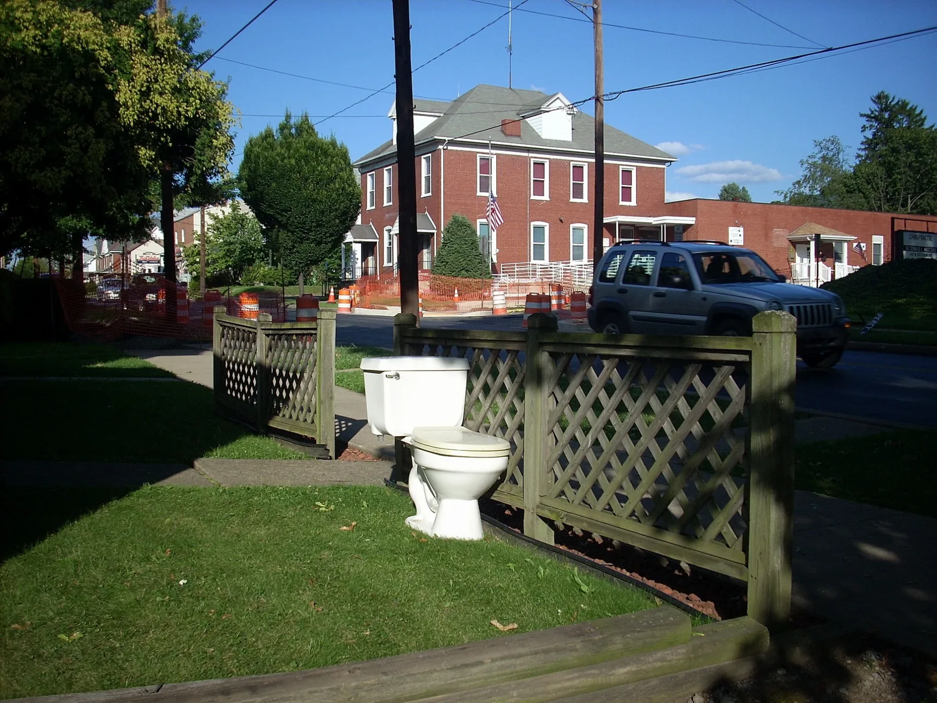
South Market Street in South Williamsport, Pennsylvania
South Market Street in South Williamsport is a two-lane, asphalted residential street. The street has partly sidewalks. It runs in a southeast-northwest direction and crosses Main Street, West 2nd Avenue, Matthews Boulevard, East Lincoln Avenue, Market Street, West Lincoln Avenue, East Southern Avenue, West Southern Avenue, East Bald Eagle Avenue, West Bald Eagle Avenue, East Pheasant Alley and West Pheasant Alley. This street is part of the highways 554 and 15. Nearby there is among others a gas station. The nearest stop is Market & Southern. The bus lines 68, Penn, South Side Duboistown and South Side Route 15 serve this stop. South Market Street also exists in Muncy.
- Road Type
- residential street
- Speed Limit
- 35 mph
- Lanes
- 1
- Route
- southeast-northwest
Image
Streets nearby
West 1st AvenueBench
300 ft
West Lincoln Avenue350 ft
East Lincoln Avenue350 ft
Main Street450 ft
East Southern AvenueMountainview Junior Academy
0.1 mi
Flicker Alley0.1 mi
East 1st Avenue0.1 mi
East Bald Eagle AvenueSubway
0.1 mi
Henry Street0.2 mi
East 2nd Avenue0.2 mi
Church Street0.2 mi
East Pheasant Alley0.2 mi
West 2nd Avenue0.2 mi
West Bald Eagle AvenueSave A Lot, Dollar Tree, Ashton's Angels, Pu, Puff Tobacco Products
0.2 mi
Flamingo0.3 mi
East Central Avenue0.3 mi
Grouse Alley0.3 mi
Skylark Way0.3 mi
East Cardinal Alley0.3 mi
Goose Alley0.3 mi
Falcon0.3 mi
Curtin Street0.3 mi
George Street0.3 mi
Teal Alley0.3 mi
West Cardinal Alley0.3 mi
Susquehanna Beltway0.3 mi
West Southern AvenueSouth Williamsport, Southern. Ave. at Howard. St., Southern Ave. & Curtin St., That Store, Hometown Flowers
0.3 mi
East Bluebird Alley0.3 mi
Hastings StreetDunkin'
0.3 mi
Market StreetWilliamsport, Bases Loaded (D), St Mark Lutheran Church, Bases Loaded (C)
0.3 mi
West Bluebird Alley0.4 mi
Crane0.4 mi
Court StreetThe Whiskey Room, Hong Kong, Metro by T-Mobile
0.4 mi
Sidney Street0.4 mi
Lowe Street0.4 mi
Robin Alley0.4 mi
West Pheasant Alley0.4 mi
Chickadee Alley0.4 mi
Percy Street0.4 mi
West Central Avenue0.4 mi
Girard Avenue0.4 mi
Bayard Street0.5 mi
Winthrop Street0.5 mi
Fire stations nearby
South Williamsport Fire Department (Southern Ave Station)0.1 mi
Hotels nearby
Hampton Inn Williamsport-Downtown0.4 mi
Rivers nearby
West Branch Susquehanna River0.4 mi
Schools nearby
Rommelt Elementary0.5 mi
Streams nearby
Hagermans Run0.1 mi
Other nearby
Downtown0.3 mi
Public transit map South Williamsport Legend
| Railway | |
| Bus | |
| Streetcar |
Bicycle map South Williamsport Legend
| Bike path | |
| Bike lane on roadway | |
| Cycling allowed on bus lane | |
| Bicycle street | |
| Open to cyclists | |
| Open to cyclists, good path | |
| Cycling prohibited | |
| Cobblestone |
| Long-distance bike route | (depending on scale) | |
| Long-distance bike route |
Pedestrian map South Williamsport Legend
| Path |
| Long-distance hiking trail | (depending on scale) | |
| Long-distance hiking trail | ||
| Pedestrians prohibited |