
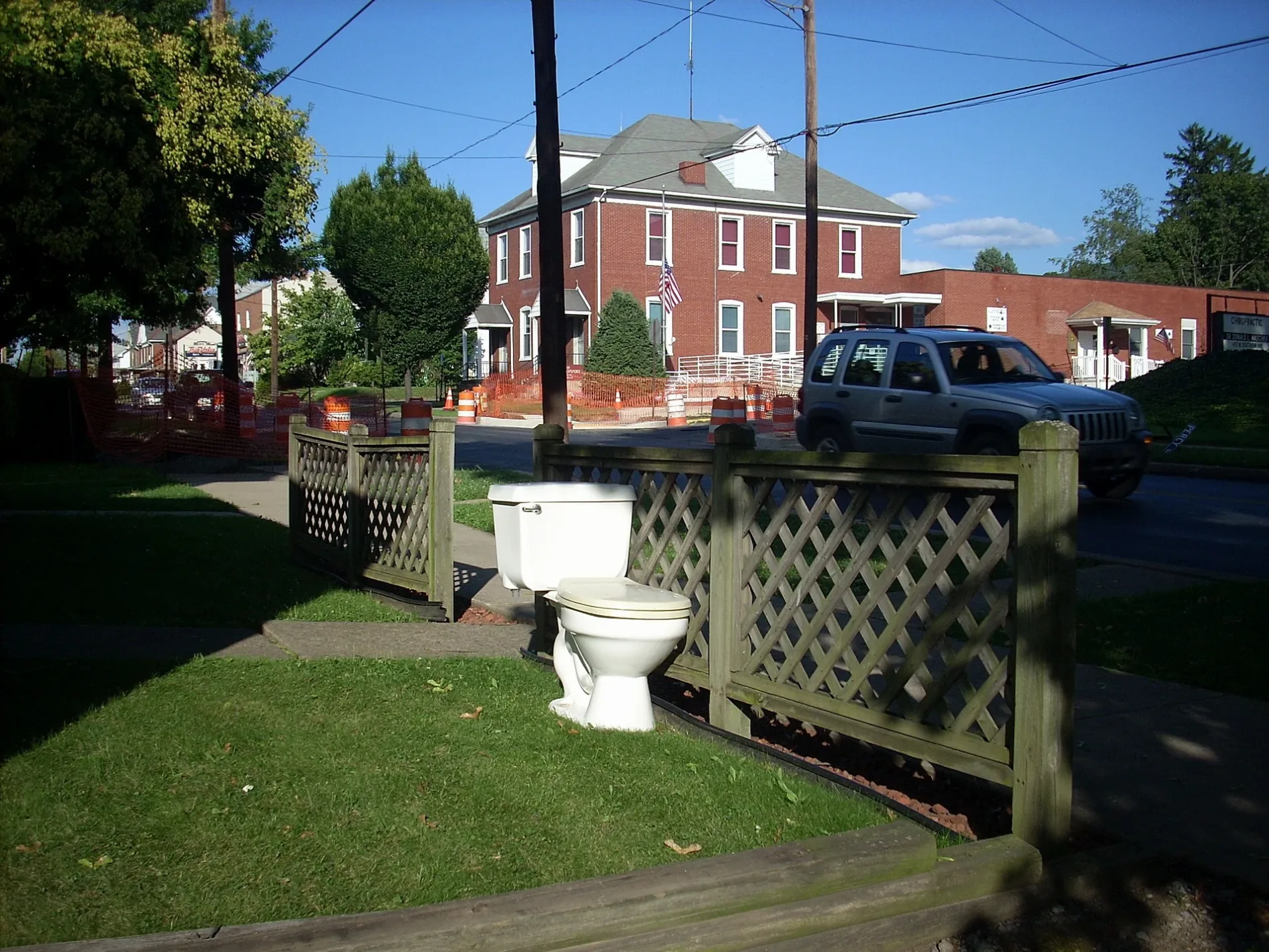
West Pheasant Alley in South Williamsport, Pennsylvania
West Pheasant Alley in South Williamsport is a service road. It runs in a northeast-southwest direction starting from Clark Street and crosses Reynolds Street, Hill Street, Clinton Street, Kane Street, Winthrop Street, Blue Bill Alley, Bayard Street, Sidney Street, Lowe Street, Teal Alley and Percy Street. It ends in a cul-de-sac.
- Road Type
- service road
- Route
- northeast-southwest
Image
Bus stops
Florists
Clothing stores
Benches
Convenience stores
Artworks
Fast food restaurants
Gas stations
Schools
Streets nearby
West Central Avenue200 ft
Bayard Street300 ft
Lowe Street400 ft
Blue Bill Alley500 ft
West Bald Eagle Avenue500 ft
Teal Alley0.1 mi
Sidney Street0.1 mi
Winthrop Street0.1 mi
West Southern AvenueSouth Williamsport, Southern. Ave. at Howard. St., Southern Ave. & Curtin St., That Store, Hometown Flowers
0.1 mi
Chickadee Alley0.2 mi
Skylark Way0.2 mi
Sandpiper Alley0.2 mi
Bluebill Alley0.2 mi
Curtin Street0.2 mi
Percy Street0.2 mi
Robin Alley0.2 mi
West Cardinal Alley0.2 mi
Kane Street0.2 mi
Crane0.3 mi
West 2nd Avenue0.3 mi
George Street0.3 mi
Girard Avenue0.3 mi
West Bluebird Alley0.3 mi
Falcon0.3 mi
West 1st AvenueBench
0.3 mi
Flamingo0.3 mi
West 6th Avenue0.4 mi
Heron Alley0.4 mi
East Bald Eagle AvenueSubway
0.4 mi
West Lincoln Avenue0.4 mi
East Pheasant Alley0.4 mi
South Market StreetMarket & Southern, Mobil
0.4 mi
East Cardinal Alley0.4 mi
Goose Alley0.4 mi
East Lincoln Avenue0.4 mi
Market Street0.4 mi
Parakeet Alley0.4 mi
West 7th Avenue0.4 mi
East Southern AvenueMountainview Junior Academy
0.4 mi
Marlin Alley0.4 mi
East Bluebird Alley0.4 mi
Hastings StreetDunkin'
0.5 mi
East Mountain AvenueSunoco
0.5 mi
South Howard Street0.5 mi
East 6th Avenue0.5 mi
Grouse Alley0.5 mi
Fire stations nearby
South Williamsport Fire Department (Southern Ave Station)0.3 mi
Schools nearby
Rommelt Elementary500 ft
Central Elementary0.2 mi
Public transit map South Williamsport Legend
| Railway | |
| Bus | |
| Streetcar |
Bicycle map South Williamsport Legend
| Bike path | |
| Bike lane on roadway | |
| Cycling allowed on bus lane | |
| Bicycle street | |
| Open to cyclists | |
| Open to cyclists, good path | |
| Cycling prohibited | |
| Cobblestone |
| Long-distance bike route | (depending on scale) | |
| Long-distance bike route |
Pedestrian map South Williamsport Legend
| Path |
| Long-distance hiking trail | (depending on scale) | |
| Long-distance hiking trail | ||
| Pedestrians prohibited |