
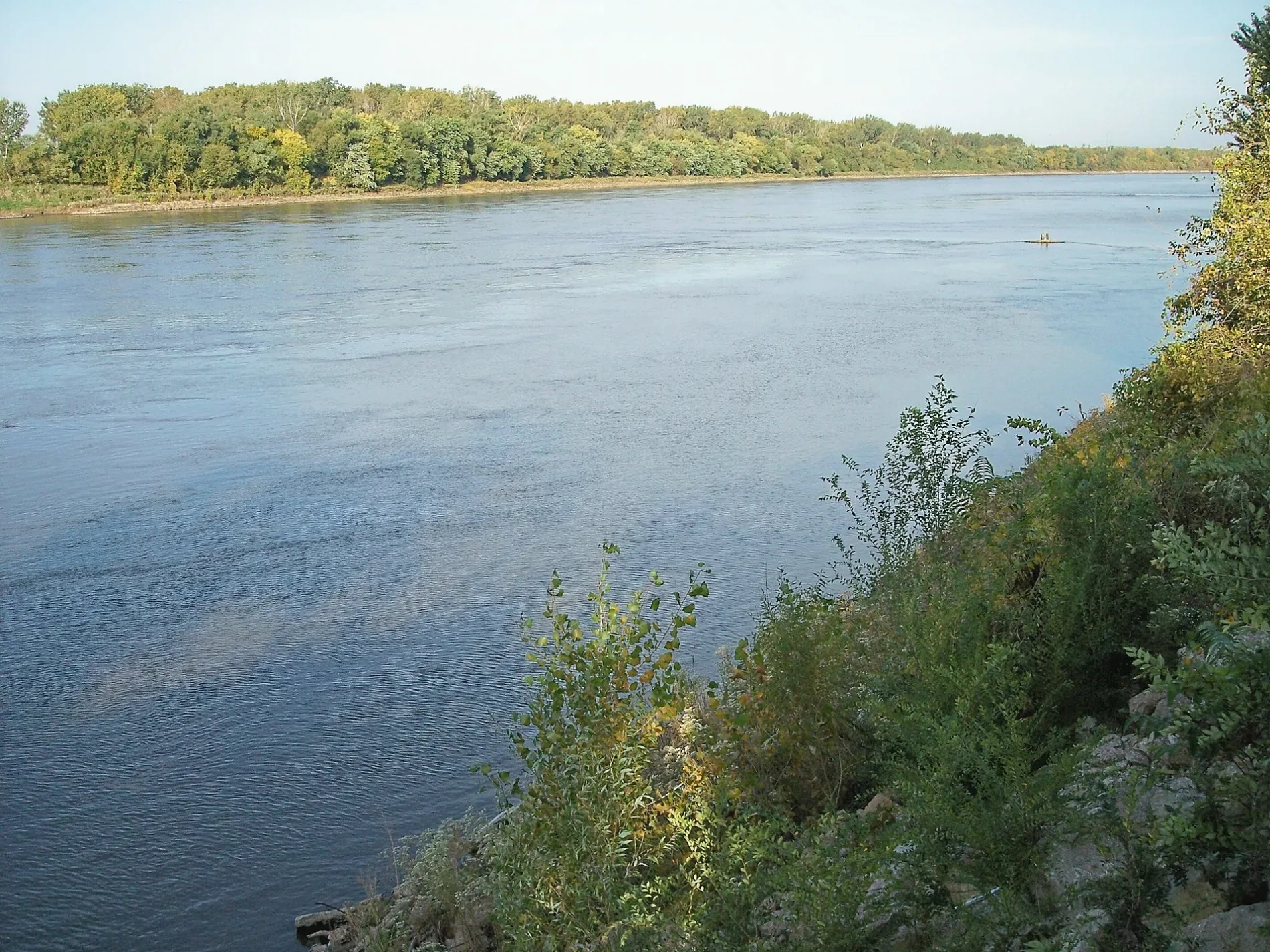
Missouri River in Utica South Township, South Dakota
Missouri River in Yankton County is a river. Missouri River is also known as Missouri. Missouri River also exists in Bon Homme County, Union County, Clay County, Hughes County and Potter County. Ⓦ.
- Waterway Type
- river
Fast food restaurants
Auto repair shops
Hardware stores
Sporting goods stores
Restaurants
Hospitals
Schools
Bars
Variety stores
Places of worship
Cafes
Bookstores
Movie theaters
Payment terminals
Streets nearby
Broadway Avenue350 ft
Highway 81550 ft
West Riverside DriveKuirk's Bistro
0.1 mi
West 2nd StreetShell, Wells Fargo
0.2 mi
Locust StreetYankton Auto Body
0.2 mi
Meridian Bridge Plaza0.3 mi
Meridian Bridge0.3 mi
West 3rd StreetWalnut Tavern, Yankton Antique Mall, Yankton Discount Grocery Store, Big Guy's Games, Lisa's Fashions, Yankton Rexall Drug, Head 2 Heels, Riverfront Event Center, Fish-N-Stuff, Riverfront Hotel, Discovery Church, O'Malley's Irish Pub, B-Dazzled Downtown Salon and Spa, Monta's Framing and Design, River Rose Suites, Cornerstone Jewelry Design, Legacy Studio, @ The Bar, Style n File, About-Face Barbers, 106.3 Broadcast Station
0.3 mi
Levee Street;West Riverside Drive0.3 mi
Douglas AvenueElkhorn Valley Bank
0.4 mi
Walnut StreetUnited Church of Christ, Larsen Carpet
0.4 mi
West 2nd Street;East 2nd Street0.4 mi
West 3rd Street;East 3rd Street0.4 mi
Linn Street0.5 mi
West 4th Street;East 4th Street0.5 mi
Green Street0.5 mi
Spruce Street0.5 mi
West 6th StreetChrist Episcopal Church
0.6 mi
West 5th Street;East 5th Street0.6 mi
Park Drive0.6 mi
East 3rd Street0.6 mi
West 4th StreetYankton, David's Depot, Burger King
0.6 mi
Cedar StreetFirst Dakota National Bank, Stewart School
0.6 mi
West 6th Street;East 6th Street0.6 mi
West 7th Street0.6 mi
Pine Street0.7 mi
Mulberry StreetBeadle School
0.7 mi
West 5th Street0.7 mi
Pleasant StreetAvera Sacred Heart Hospital
0.7 mi
Capital StreetSacred Heart School, Levee Street Steak and Lounge
0.8 mi
West 8th Street0.8 mi
Westside Drive0.8 mi
Summit Street0.8 mi
West 9th StreetLincoln School
0.8 mi
West 8th Street;East 8th Street0.8 mi
Maple Street0.8 mi
Park Street0.8 mi
Antique stores nearby
Grandma's Treasures0.3 mi
Buildings nearby
Gurney Building0.5 mi
Cramer-Kenyon Heritage Home0.7 mi
Cafes nearby
Muddy Mo's0.3 mi
Fire stations nearby
Yankton Fire Department0.5 mi
Houses nearby
Beadle House0.7 mi
Libraries nearby
Yankton Community Library0.6 mi
Places of worship nearby
Bishop Marty Chapel0.7 mi
Police stations nearby
Yankton Police Department0.5 mi
Residential areas nearby
Gurney Flats Apartments0.5 mi
Rivers nearby
Missouri River0.5 mi
School buildings nearby
Bede Hall0.8 mi
Greg Hall0.8 mi
| Named after | Missouria |
|---|---|
| Length | 3726 |
| Located in | Montana, North Dakota, South Dakota, Nebraska, Iowa, Missouri, Kansas |
| Country | United States |
| Mouth | Mississippi River |
| Tributary | Little Missouri River, Grand River, Moreau River, Cheyenne River, Bad River, White River, Niobrara River, James River, Vermillion River, Big Sioux River, Platte River, Kansas River, Milk River, Yellowstone River, Osage River, Mosquito Creek, Boyer River, Ponca Creek, Perry Creek, Floyd River, Little Sioux River, Soldier River, Jefferson River, Marias River, Dearborn River, Madison River, Cannonball River, Gallatin River, Roe River, Heart River, Musselshell River, Knife River, Big Muddy Creek, Judith River, Sun River, Chariton River, Arrow Creek, Belt Creek, Blue River, Cow Creek, Crooked River, Cuivre River, Fishing River, Gasconade River, Lamine River, Little Blue River, Little Muddy Creek, Loutre River, Nodaway River, Papillion Creek, Poplar River, Redwater River, Sixteen Mile Creek, Smith River, Tarkio River, Wolf River, Nishnabotna River, Big Dry Creek (Montana), Auxvasse Creek, Big Berger Creek, Perche Creek, Blacksnake Creek, Big Nemaha River, Little Nemaha River, Sacagawea River, Little Chariton River, Sni-A-Bar Creek |
| Native name | Missouri River |
| Described by | Brockhaus and Efron Encyclopedic Dictionary, Small Brockhaus and Efron Encyclopedic Dictionary, Great Soviet Encyclopedia (1926–1947), Encyclopædia Britannica 11th edition, The American Cyclopædia, Collier's New Encyclopedia, 1921, New International Encyclopedia, The New Student's Reference Work, Granat Encyclopedic Dictionary |
 Public transit map Utica South Township Legend
| Railway | |
| Bus | |
| Streetcar |
 Bicycle map Utica South Township Legend
| Bike path | |
| Bike lane on roadway | |
| Cycling allowed on bus lane | |
| Bicycle street | |
| Open to cyclists | |
| Open to cyclists, good path | |
| Cycling prohibited | |
| Cobblestone |
| Long-distance bike route | (depending on scale) | |
| Long-distance bike route |
 Pedestrian map Utica South Township Legend
| Path |
| Long-distance hiking trail | (depending on scale) | |
| Long-distance hiking trail | ||
| Pedestrians prohibited |