
Wolf River in Memphis, Tennessee
Wolf River in Memphis is a river. Wolf River also exists in Collierville. Ⓦ.
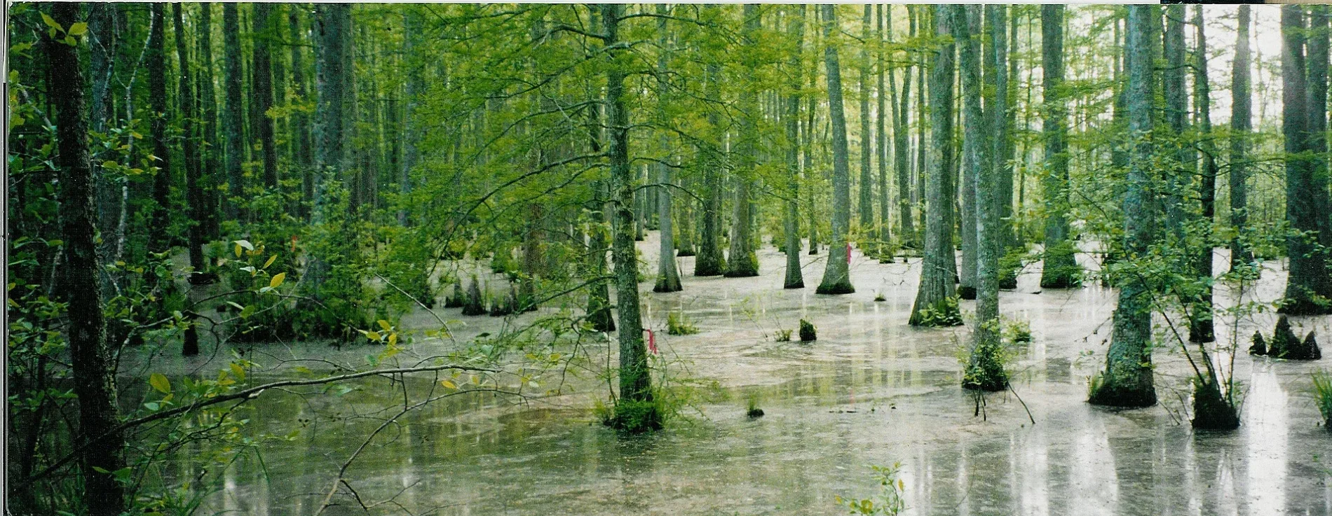
- Waterway Type
- river
Streets nearby
Wolf River Greenway - Kennedy Park Section0.3 mi
Andrew Crossing Drive0.4 mi
John Edwards Lane0.4 mi
Paul Crossing Drive0.4 mi
Doctor Martin Luther King Junior ExpresswayBunker Hill
0.4 mi
Scott Crossing Drive0.5 mi
Prince Rupert Lane0.5 mi
McArthur Drive0.5 mi
Fairlane Drive0.5 mi
Thackery Drive0.5 mi
Northumberland Lane0.5 mi
Davis Circle0.6 mi
Tant Road0.6 mi
Hartland Street0.6 mi
Burrow Avenue0.6 mi
Wells Station RoadWells, Wells Station Baptist Church, Calvary Temple Assembly of God Church, First General Baptist Church, Church of God, Greater United Independent Christian Church
0.6 mi
Tant Cove0.6 mi
Combs Street0.6 mi
Verbena Drive0.6 mi
Grecco Drive0.6 mi
Rawdon Avenue0.6 mi
Ronnie Avenue0.6 mi
Tarkington Drive0.6 mi
Parkview Drive0.6 mi
Walter Street0.6 mi
Wales Avenue0.6 mi
Kennedy Park0.7 mi
Chelsea AvenueMeek and Humble Missionary Church of God in Christ, Chelsea Ave at Watkins St, Greater First Baptist Church, Saint Johns Baptist Church, Saint James Church of God and Christ, CSX Leewood Yard, Messiah Baptist Church, Corinthian Baptist Church, Chelsea Avenue Church of Christ, New Hope Missionary Baptist Church, Overton Park Seventh Day Adventist Church, Featherstone Chapel Methodist Church, New Heights Third Day Church, True Holiness Lighhouse Church, Mount Austin Missionary Baptist Church, Faith Baptist Church, Common People Temple, Tabernacle Church of God in Christ
0.7 mi
Mamie RoadCalvary Chapel of Memphis
0.7 mi
Palm Road0.7 mi
Weiner Road0.7 mi
Eldorado Street0.7 mi
Hemingway Avenue0.7 mi
Wendt Avenue0.7 mi
Pikes Peak Avenue0.7 mi
Watts Avenue0.7 mi
Jackson AvenueMcDonald's, Jackson Avenue Methodist Church, Springdale Church of Christ, Cathedral of Faith Ministries, Greater Galatian Baptist Church, Hi-Tech Wireless, Royal Bee Beauty, Nail Art, Krispy Wings, Carpet Spectrum, Alex’s Tavern, McLean Baptist Church, Peace Lutheran Church
0.7 mi
Sierra Street0.7 mi
Palm Avenue0.7 mi
Watteker Road0.8 mi
Palm Jackson Road0.8 mi
Coleman Road0.8 mi
Stone Gate Drive0.8 mi
Raleigh-Lagrange RoadChildrens World Learning Center, Primera Iglesia Hispana Adventista Seventh Dia, McDonald's, Domino's, Ali Baba, Hijabi Modest Wear, Petra Pastry, Royal Hookah Cafe, Barakat Middle Eastern Market, Grace Community Church, Gloria Dei Lutheran Church
0.9 mi
The Springs Court0.9 mi
Austin Peay HighwayRaleigh Church, Original Donut Man, Raleigh Primitive Baptist Church, Bojangles'
0.9 mi
Creekwood Drive0.9 mi
| Length | 169 |
|---|---|
| Located in | Mississippi |
| Country | United States |
| Mouth | Mississippi River |
 Public transit map Memphis Legend
| Railway | |
| Bus | |
| Streetcar |
 Bicycle map Memphis Legend
| Bike path | |
| Bike lane on roadway | |
| Cycling allowed on bus lane | |
| Bicycle street | |
| Open to cyclists | |
| Open to cyclists, good path | |
| Cycling prohibited | |
| Cobblestone |
| Long-distance bike route | (depending on scale) | |
| Long-distance bike route |
 Pedestrian map Memphis Legend
| Path |
| Long-distance hiking trail | (depending on scale) | |
| Long-distance hiking trail | ||
| Pedestrians prohibited |