This City map of Tennessee shows the state’s streets, roads, paths, and places across the United States. Tennessee covers approximately 109,247 square kilometres and lies at an elevation of about 280 metres above sea level. The state was founded in 1796 and had 6,910,840 residents in 2020, compared with 6,346,105 in 2010. Its territory extends from the Appalachian Mountains in the east to the Mississippi River in the west and is divided here into Monteagle, East Tennessee, Middle Tennessee, and West Tennessee.
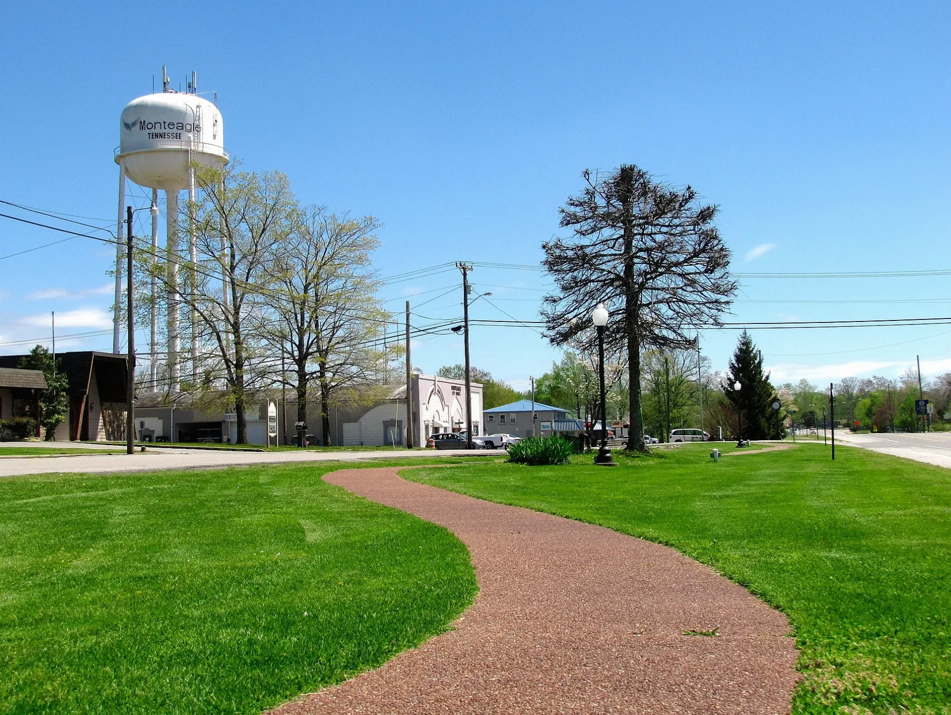
Monteagle is a town in Tennessee and is mapped in OpenStreetMap as an administrative level 8 place. The town stands on Monteagle Mountain at the western edge of the Cumberland Plateau, where the landscape rises between Middle Tennessee and the Tennessee Valley. Interstate 24 passes through Monteagle and connects the town with Chattanooga to the southeast and Nashville to the northwest. Monteagle is also associated with the Monteagle Sunday School Assembly, an established educational and cultural site founded in 1882.
East Tennessee is a geographical and cultural region of the state and includes cities such as Knoxville, Chattanooga, Johnson City, and Gatlinburg. The Tennessee River crosses the region, while the French Broad River flows through Knoxville and the Tennessee Valley. The eastern boundary reaches the Great Smoky Mountains, whose national park contains Clingmans Dome, the highest point in Tennessee at 2,025 metres. Oak Ridge in Anderson County is known for its central role in the Manhattan Project during World War II.
Chattanooga lies along the Tennessee River near Lookout Mountain and is connected with Civil War history, including the 1863 Battles for Chattanooga. Knoxville, founded in 1791, stands at the confluence of the French Broad and Holston rivers, which form the Tennessee River. The Appalachian Trail crosses the eastern part of Tennessee near the Great Smoky Mountains and the Roan Highlands.
Middle Tennessee is a regional division of the state centred on Nashville, the capital and largest city of Tennessee. The Cumberland River flows through Nashville and continues northwest toward Clarksville before reaching the Ohio River in Kentucky. The region includes the Nashville Basin, a fertile limestone area surrounded by the Highland Rim, as well as parts of the Cumberland Plateau to the east. Murfreesboro, the seat of Rutherford County, was the site of the 1862 Battle of Stones River.
Nashville is internationally associated with country music and contains the Grand Ole Opry and the Country Music Hall of Fame. Franklin in Williamson County preserves historic sites connected with the 1864 Battle of Franklin, while Lynchburg in Moore County is known for the Jack Daniel’s distillery. The Natchez Trace Parkway crosses Middle Tennessee from the Nashville area toward the Alabama state line.
West Tennessee is the region between the Tennessee River and the Mississippi River and includes Memphis, Jackson, and Dyersburg. Memphis stands on the Mississippi River and is known for Beale Street, the National Civil Rights Museum at the Lorraine Motel, and Graceland. The Mississippi River forms Tennessee’s western border, while the flat Mississippi Alluvial Plain extends eastward from the river. The Mississippi River Trail is one of the long-distance bicycle routes associated with Tennessee.
Reelfoot Lake in northwest Tennessee was formed by earthquakes along the New Madrid Seismic Zone in 1811 and 1812. The lake lies mainly in Lake and Obion counties and is known for its cypress trees and bald eagle habitat. The city of Jackson in Madison County developed along transportation routes between Memphis and Nashville and serves as a regional centre for West Tennessee.
Data sources: OpenStreetMap (ODbL), Wikidata (CC0) · Image: Wikimedia Commons
Named after
Tanasi
Year built
1796
Area
109247 km²
Elevation
280 m
Located in
United States
Country
United States
Population
6910840
Nickname
The Volunteer State
Native name
Tennessee
Official name
State of Tennessee
Described by
Armenian Soviet Encyclopedia, Encyclopædia Britannica 11th edition, The American Cyclopædia, Collier's New Encyclopedia, 1921, The New Student's Reference Work, New International Encyclopedia




 Public transit map Tennessee Legend
  Bicycle map Tennessee Legend
  Pedestrian map Tennessee Legend