
Hamilton County, Tennessee
Hamilton County is located in East Tennessee. About 354,098 people live here. Between 2010 and 2020, the population grew from 336,463 to 366,207. The area covers about 1,491.0 square kilometers. The region is divided into 9 Municipalities. The region was founded in 1819. The name originates from Alexander Hamilton (American Founding Father and statesman) Hamilton County is county in Tennessee, United States. More information at www.hamiltontn.gov.
Hamilton County – Facts
| Population | 366207 |
|---|---|
| Area | 1491 km² |
| Subregions | 9 |
| Named after | Alexander Hamilton |
| Year built | 1819 |
| Located in | Tennessee |
| Country | United States |
| Native name | Hamilton County |
| Website | https://www.hamiltontn.gov/ |
Data source: Wikidata (CC0)
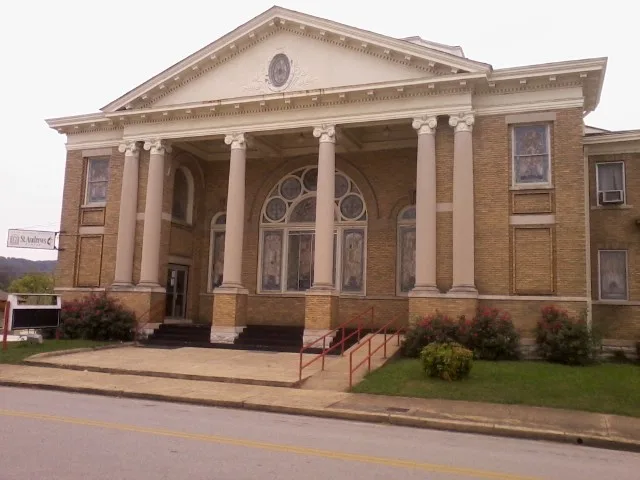
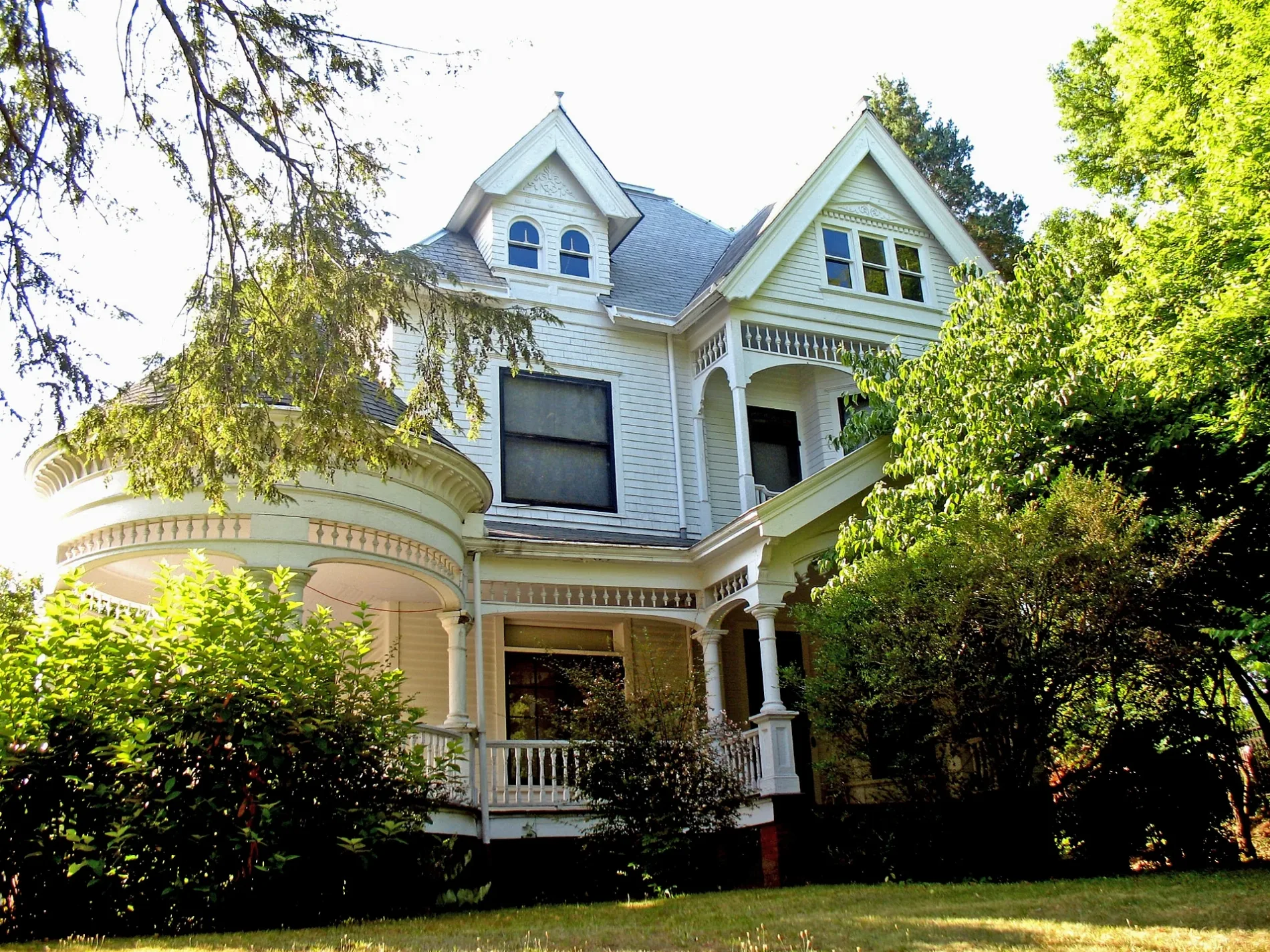
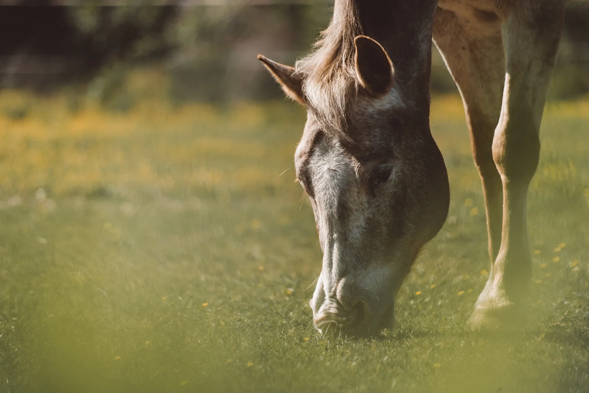
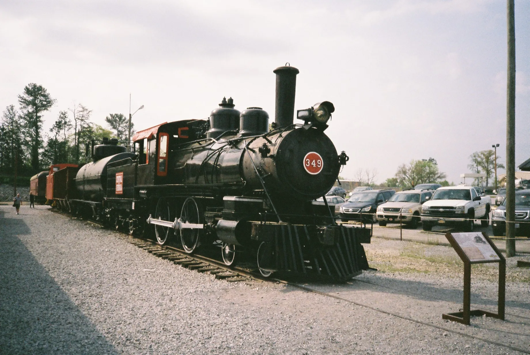
Photos from Hamilton County



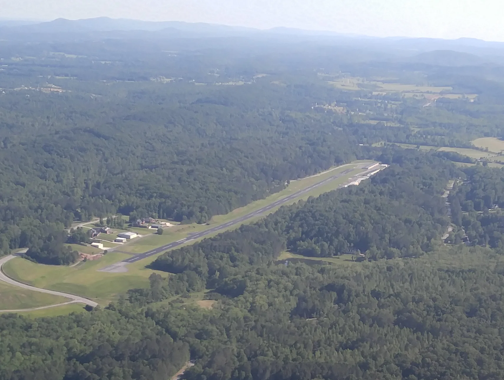
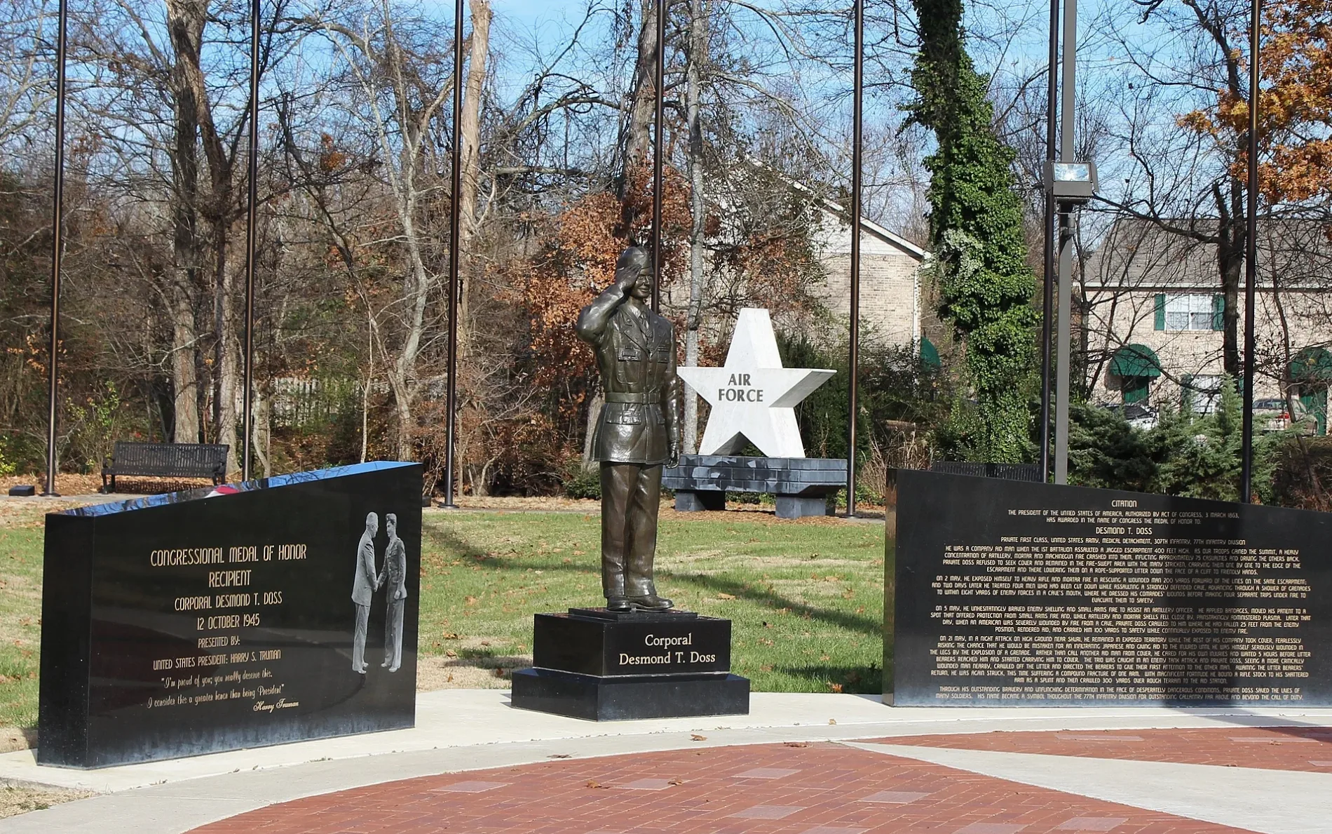
Municipalities in Hamilton County, Tennessee
Streets in Hamilton County, Tennessee
Streets
Hixson Pike
Shady Grove Shores, Shady Grove Church, Bi Ba's Italian Eatery, Jack's, Lakeside Nutrition, The Agora, New York Pizza Department
CT - North Chickamauga CreekBoston Branch Overlook, Cooper Creek Campsite, North Chickamauga Campsite, Cable Crossing Campsite, Stevenson Branch Campsites
Highway 58Island Cove Mini Storage, Lakeway Church, Freedom Church, Savannah Peninsula, JC's Family BBQ
Soddy Creek Gorge Trail (South)Cumberland Trail - Mobray Pike, Scenic View, Alligator Rock, Rockhouse
East Brainerd RoadApison Post Office, Westview Baptist Church Parking, Kangaroo Gas Station, Parker Gap Church
CT - Rock Creek Gorge TrailCT - Retro Huges Trailhead, Retro Hughes Trailhead, Rock Creek Campsite
Providence RoadMount Vernon Church, New Providence Church, Providence Baptist Church
Standifer Gap RoadStandifer Gap Baptist Church, Standifer Gap Seventh-day Adventist Church, Standifer Gap Seventh-day Adventist School
CT - Soddy Creek Gorge Trail (South)Little Stone Door, Scenic View, Clemmons (Clements) Point
Dayton PikeShell, Fuzzy's, Sale Creek Post Office
CT - Possum Creek Gorge TrailLittle Possum North Campsite, Little Possum South Campsite, Cumberland Trail - Heiss Mountain Road
Dallas Hollow RoadNew Salem, Green Pond Church, New Salem Baptist Church, BP
Greenwood RoadFood City, Subway
Mahlon DriveMapco
Ellie PlazaHixson Pike Wash Co, Hixson Coin Laundry
Jones Gap RoadJones Gap Road Overlook, Flat Top Church
Snow Hill RoadGreenwood Baptist Church, Fairview Church
Levi RoadFalling Water Church, Union Springs Church
Middle Valley RoadMiddle Valley Baptist Church, Circle K
Deerwood DrivePapa John's, Harrison Wine and Liquor
Ooltewah Georgetown RoadMeadowview, Smith Cemetery, Cross Roads Baptist Church
CT Connector - Little Soddy (Sluder Lane) TrailheadCumberland Trail - Hotwater Raod, CT - Little Soddy (Sluder Lane) Trailhead
CT - Soddy Creek Gorge Trail (North)Cumberland Trail Junction, Board Camp Creek Campsite
Waverly CourtLittle Free Library
CT - Upper North Chickamauga CreekHolly Branch Campsite
Pearl StreetOoltewah Tennessee Post Office
Rock Creek Paved ADA TrailLower Leggett Road Trailhead
Old East Brainerd RoadApison Church
Leggett RoadSale Creek Post Office
Overlook SpurPanther Branch Overlook
May RoadLake Drive Baptist Church
Leggett Point Overlook TrailLeggett Point Overlook
Hollister RoadFavorite Market
Lee PikeMidway Church
Shirley Pond RoadNew Bethel Baptist Church
Coleman Cemetery RoadHickman Cemetery
CT - Barker Camp Rd TH ConnectorBarker Camp Trailhead
Grasshopper DriveGate B, Overflow Parking, Gate A
Friendship LaneFriendship Church
Railroad StreetFirst Baptist Church of Sale Creek
Birchwood PikeTVA Managed Public Land Access
Henson Gap RoadMowbray Church
Sawyer Cemetery RoadWelcome Hill Church
Bill Reed RoadHill Top Church
Champion RoadBartlebaugh, Bartlebaugh Baptist Church
White Oak Valley CircleMineral Park Chapel
Hamilton LaneBar D Trading Post
McGhee RoadCommunity Church
Harrison Bay RoadHodges Cemetery
Timesville RoadSignal Mountain United Methodist Church
Roberts Mill RoadFalling Water Baptist Church, Falling Water
North Hickory Valley RoadFaith Church
Nations RoadHoly Bible Church
McCallie Ferry RoadBakewell School
Bay Point Loop TrailBay Point Loop Trail
Edwards Point RoadEdwards Point, Edwards Point School
Ridge Trail RoadSequoyah Church
Morning Glory DriveDaughtrey Cemetery
Ooltewah Harrison RoadHonestville Church
Gold Point Circle Northjackson chapel
Lillard RoadZion Church
Mount Annie Church RoadMount Annie Church
Mowbray PikeMowbray, Mowbray Church
Cash Canyon RoadRiverside Church
Suck Creek LaneSuck Creek Church
Frankie LaneSequoyah Church
CT - Edwards PointEdwards Point
Howe Farms WayHowe Farms
Stormer RoadMayflower Church
Thrasher PikeMiddle Valley Church of Christ
Thatch RoadLabby Lane Kennel
Cumberland TrailCumberland Trail - Montlake Road
Lutheran WayFirst Lutheran Church Camp
East Boy Scout RoadSerena Chapel
Scienic View SpurRock Creek Overlook
CT - Rock Creek Loop TrailCT - Upper Leggett Road Trailhead
Corral RoadD&M Auto Parts
Kennerly Court
Pebble Brook LaneBuildings
Important and frequently searched streets
South Chickamauga Creek GreenwaySweet Basil Thai Cuisine, Simply 10
 Public transit map Hamilton County Legend
| Railway | |
| Bus | |
| Streetcar |
 Bicycle map Hamilton County Legend
| Bike path | |
| Bike lane on roadway | |
| Cycling allowed on bus lane | |
| Bicycle street | |
| Open to cyclists | |
| Open to cyclists, good path | |
| Cycling prohibited | |
| Cobblestone |
| Long-distance bike route | (depending on scale) | |
| Long-distance bike route |
 Pedestrian map Hamilton County Legend
| Path |
| Long-distance hiking trail | (depending on scale) | |
| Long-distance hiking trail | ||
| Pedestrians prohibited |