
Collegedale, Tennessee
Collegedale is located in Hamilton County. About 11,109 people live here (as of 2020). Between 2010 and 2020, the population grew from 8,282 to 11,109. The region is at 239 meters above sea level. The area covers about 32.0 square kilometers. There are about 632 streets in Collegedale. The region was founded in 1916. The ZIP codes are 37315. The dialing code is 423. Collegedale is city in Hamilton County, Tennessee, United States of America. Among other things, Collegedale has restaurants, clothing Stores, banks, hair Salons, dentists and doctors. More information at www.collegedaletn.gov.
Collegedale – Facts
| Population | 11109 |
|---|---|
| Area | 32.0 km² |
| Year built | 1916 |
| Elevation | 239 m |
| Located in | Hamilton County |
| Postal code | 37315 |
| Country | United States |
| Official name | Collegedale |
| Website | http://www.collegedaletn.gov |
Data source: Wikidata (CC0)
Photos from Collegedale
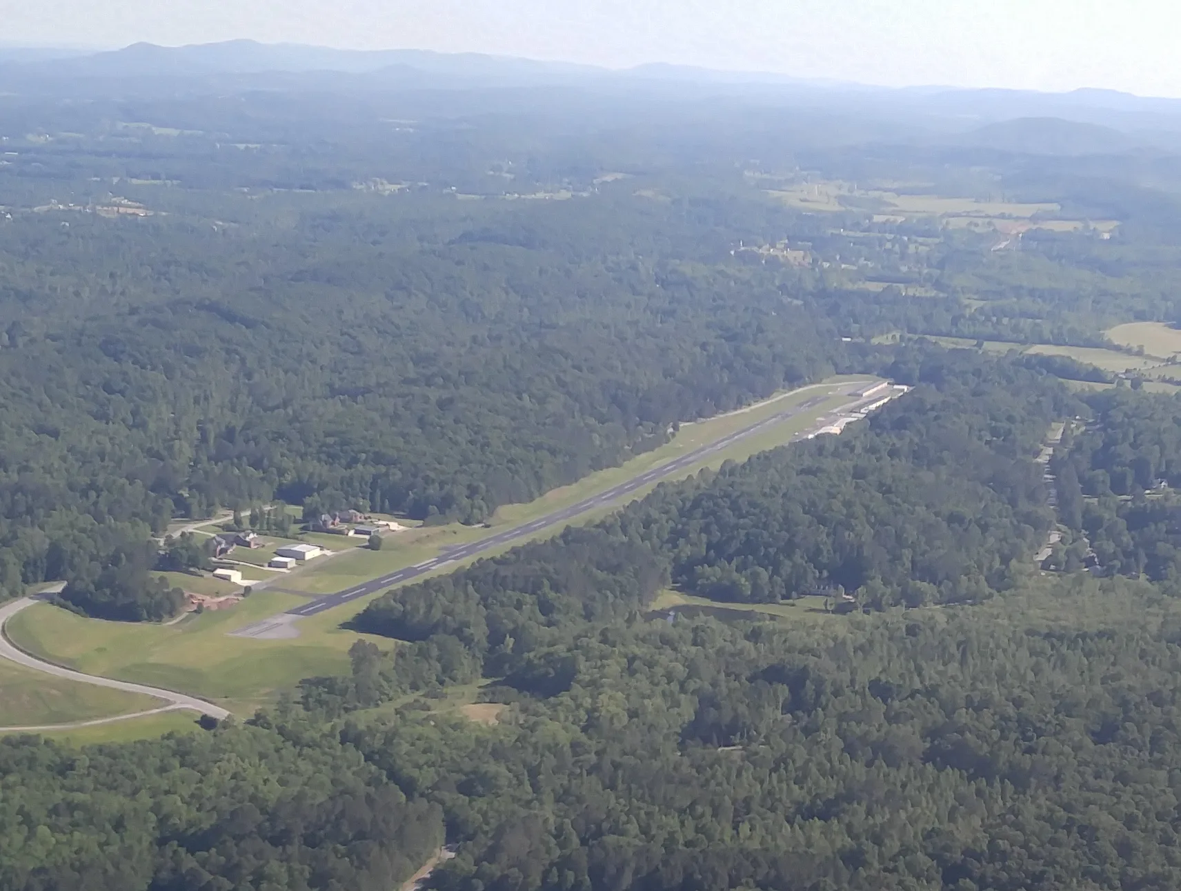
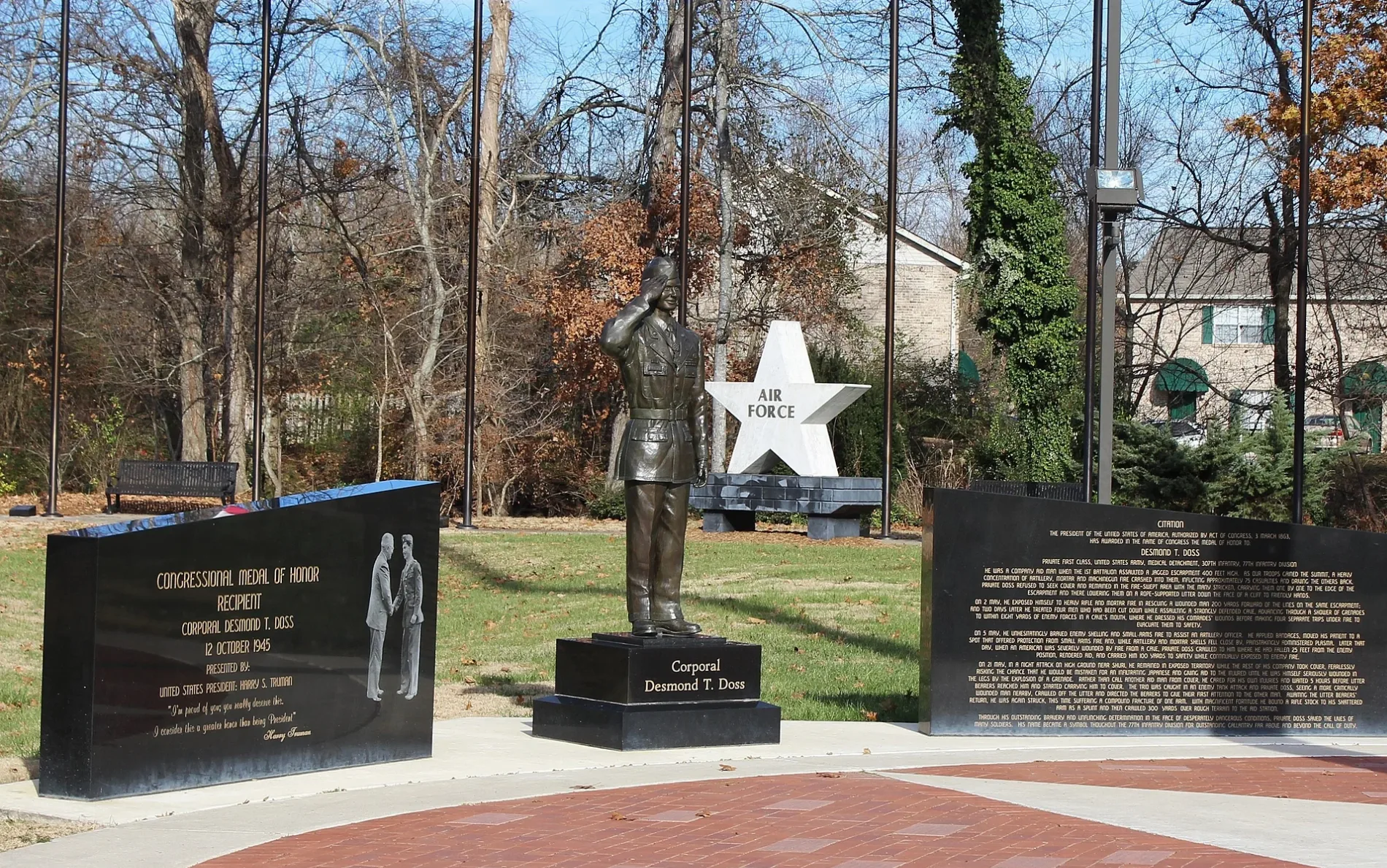

Streets in Collegedale, Tennessee
Streets
Reagan Lane
Georgi's Pizzeria, Sally Beauty, GNC, Ameritrust Financial Services, Great Clips, Cato, Dab City, Sun Tan City
Apison PikeCollegedale, Apison, Dollar Store, Ooltewah Pediatrician, Coleman Orthodontist, Four Corners
University DriveSAU roundabout, Adventist Book Center
Wolftever GreenwayDomino's, Papa John's
Park PlaceCollegedale Post Office
Watkins StreetSalem Church
Lumber LaneBeautiful Chaos Hair Salon
Jack Cate RoadOoltewah Junction
Main StreetWoodlee Appliance Inc.
Camp RoadHigh Point Church
Lookout Hill
Tallant View Terrace
Whitener Lane
Misty Valley Drive
Eastview Terrace
Points Unknown
Old Lee Highway
Fitch Way
Sundance Court
Forest
Wellesley Drive
Grey Wolf Drive
Karen Street
Ed Ken Drive
Virley Lane
Loma Cita Lane
Integra Hills Lane
Tuckaway Lane
Crashing Creek
Central Avenue
Little Debbie Parkway
McKee Road
Tellico Drive
Sunny Lane
Crestmont Drive
Forest Drive
Robinson Farm Road
Amanda Lane
Elementary Way
Ramona Terrace
Virley Road
Murky Marsh
Pine Circle
Crook Crest Drive
Big Forest
Glynn Downing Drive
Asher Valley Circle
Grey Mountain Drive
1st StreetAntique stores
Auto parts stores
Banks
Buildings
Fast food restaurants
Fitness centers
Gas utilities
Industrial areas
Parks
Railways
Residential areas
Residential buildings
Restaurants
Retail buildings
School buildings
Schools
Sports fields
Streams
Supermarkets
Town halls
Veterinary clinics
 Public transit map Collegedale Legend
| Railway | |
| Bus | |
| Streetcar |
 Bicycle map Collegedale Legend
| Bike path | |
| Bike lane on roadway | |
| Cycling allowed on bus lane | |
| Bicycle street | |
| Open to cyclists | |
| Open to cyclists, good path | |
| Cycling prohibited | |
| Cobblestone |
| Long-distance bike route | (depending on scale) | |
| Long-distance bike route |
 Pedestrian map Collegedale Legend
| Path |
| Long-distance hiking trail | (depending on scale) | |
| Long-distance hiking trail | ||
| Pedestrians prohibited |