Goodlettsville
Goodlettsville is a city in Tennessee with OSM admin_level 8. The supplied population is 17,789, and the mapped area is 37,231,165 square metres. The city has an elevation of 145 metres and was incorporated in 1958.
 CartogiraffeMap · Streets · Places

Goodlettsville is a city in Tennessee with OSM admin_level 8. The supplied population is 17,789, and the mapped area is 37,231,165 square metres. The city has an elevation of 145 metres and was incorporated in 1958.
Portland is a town in Sumner County, Tennessee, classified as admin_level 8. Its supplied population is 13,156, while the mapped area covers 36,986,341 square metres. Portland stands at an elevation of 244 metres and was established in 1859.
Millersville is an admin_level 8 city in Middle Tennessee. The OSM classification identifies it as a place=city within Tennessee. Its city map entry records Millersville as a separate urban subregion of the Middle Tennessee region.
Ridgetop is an admin_level 8 city in Middle Tennessee. The supplied OSM data classifies the place as a city in Tennessee. Ridgetop therefore appears on the regional City map as an individual municipal subregion.
Tullahoma is a town located in Coffee and Franklin counties in Tennessee. The supplied population is 20,339, the mapped area is 61,018,667 square metres, and the elevation is 323 metres. Tullahoma is classified as an admin_level 8 place=town in Middle Tennessee.
Petersburg is an admin_level 8 town in Middle Tennessee. The OSM data identifies it as a place=town in Tennessee. It is represented as a distinct municipal subregion on the regional City map.
Ardmore is an admin_level 8 city in the Middle Tennessee region. The supplied OSM classification records Ardmore as a place=city in Tennessee. The city is shown as a separate mapped place among the region’s 49 subregions.
Spring Hill is a town extending across Williamson and Maury counties in Tennessee. Its supplied population is 50,005, its mapped area is 70,233,791 square metres, and its elevation is 229 metres. The place was established in 1808 and is classified as an admin_level 8 town.

Maury County is a county-level subregion of Middle Tennessee with admin_level 6. The supplied population is 100,974, and the mapped area is 1,594,000,000 square metres. Maury County was established in 1807 and includes the city of Columbia and the town of Spring Hill.
Cheatham County is an admin_level 6 county in Tennessee. The supplied population is 41,072, and its mapped area covers 795,000,000 square metres. The county was established in 1856 and forms part of the northern Middle Tennessee map area.
Clay County is a county subregion of Middle Tennessee with OSM admin_level 6. The supplied population is 7,581, and the mapped area is 671,000,000 square metres. Clay County was established in 1870 and is recorded as a county in Tennessee.
Davidson County is an admin_level 6 county with a supplied population of 715,884. Its mapped area covers 1,363,000,000 square metres, and the county was established in 1783. Nashville, the capital of Tennessee, is located within Davidson County.
Dickson County is a Tennessee county represented at admin_level 6. The supplied population is 54,315, and the mapped area measures 1,272,000,000 square metres. The county was established in 1803 and is part of Middle Tennessee.
Hickman County is an admin_level 6 county in Tennessee. It has a supplied population of 24,925 and a mapped area of 1,587,000,000 square metres. The county was established in 1807 and is included as a separate Middle Tennessee subregion.
Houston County is a county-level subregion with admin_level 6. The supplied population is 8,283, and the mapped area is 536,000,000 square metres. Houston County was established in 1871 and is recorded in the OSM data as a Tennessee county.
Humphreys County is an admin_level 6 county in Middle Tennessee. The supplied population is 18,990, while the mapped area covers 1,442,000,000 square metres. The county was established in 1809 and appears as an independent county subregion.
Macon County is a county in Tennessee with OSM admin_level 6. The supplied population is 25,216, and its mapped area covers 796,000,000 square metres. Macon County was established in 1842 and is included in the Middle Tennessee regional map.
Montgomery County is an admin_level 6 county in Middle Tennessee. The supplied population is 193,479, making it one of the more populous county subregions listed for the region. Clarksville, the county seat, is located in Montgomery County.
Perry County is a Tennessee county classified as admin_level 6. The supplied population is 8,366, and the mapped area measures 1,095,000,000 square metres. The county was established in 1819 and is represented separately on the Middle Tennessee map.
Pickett County is an admin_level 6 county in Tennessee. Its supplied population is 5,001, and its mapped area covers 452,000,000 square metres. Pickett County was established in 1879 and is one of the smaller county subregions by population.
Robertson County is a Tennessee county represented at admin_level 6. The supplied population is 72,803, and the mapped area is 1,235,000,000 square metres. The county was established in 1796 and forms part of northern Middle Tennessee.
Stewart County is an admin_level 6 county in Tennessee. The supplied population is 13,657, and its mapped area covers 1,277,000,000 square metres. The county was established in 1803 and is included as a distinct Middle Tennessee subregion.
Sumner County is a county-level subregion with admin_level 6. It has a supplied population of 196,281 and a mapped area of 1,407,000,000 square metres. The towns of Portland and Goodlettsville are among the named places associated with the northern Middle Tennessee area.
Williamson County is an admin_level 6 county in Tennessee with a supplied population of 247,726. The county includes the city of Franklin and extends across 1,200 square miles according to commonly used county geography. Spring Hill is also located in Williamson County.
Lewis County is a Tennessee county classified as admin_level 6. The supplied population is 12,582, and the mapped area covers 732,000,000 square metres. Lewis County was established in 1843 and is represented as a separate subregion.
Bedford County is an admin_level 6 county in Middle Tennessee. Its supplied population is 50,237, and the mapped area measures 1,230,000,000 square metres. The county was established in 1807 and includes Shelbyville, the county seat.
Cannon County is a Tennessee county with OSM admin_level 6. The supplied population is 14,506, and its mapped area covers 688,000,000 square metres. Cannon County was established in 1836 and is shown as an individual Middle Tennessee county.
Coffee County is an admin_level 6 county in Tennessee. It has a supplied population of 57,889 and a mapped area of 1,125,000,000 square metres. Tullahoma is located partly in Coffee County, and the county was established in 1836.
DeKalb County is a county subregion of Middle Tennessee with admin_level 6. The supplied population is 20,080, and the mapped area measures 852,000,000 square metres. DeKalb County was established in 1837 and is recorded as a county in Tennessee.
Fentress County is an admin_level 6 county in Tennessee. Its supplied population is 18,489, and the mapped area covers 1,292,000,000 square metres. The county was established in 1823 and forms part of the eastern section of the regional map.
Franklin County is a Tennessee county classified at admin_level 6. The supplied population is 42,774, and its mapped area is 1,491,000,000 square metres. The county was established in 1807 and contains part of the city of Tullahoma.
Giles County is an admin_level 6 county in Middle Tennessee. The supplied population is 30,346, while the mapped area covers 1,583,000,000 square metres. The county was established in 1809 and includes Pulaski, the county seat.
Grundy County is a Tennessee county represented at admin_level 6. It has a supplied population of 13,529 and a mapped area of 935,000,000 square metres. The county was established in 1844 and is a distinct subregion of Middle Tennessee.
Jackson County is an admin_level 6 county in Tennessee. The supplied population is 11,617, and the mapped area measures 828,000,000 square metres. Jackson County was established in 1801 and is included in the eastern Middle Tennessee map area.
Lawrence County is a Tennessee county classified as admin_level 6. The supplied population is 44,159, and its mapped area covers 1,600,000,000 square metres. The county was established in 1817 and includes Lawrenceburg, the county seat.
Lincoln County is an admin_level 6 county in Middle Tennessee. Its supplied population is 35,319, and the mapped area is 1,478,000,000 square metres. The county was established in 1809 and includes Fayetteville, the county seat.
Marshall County is a Tennessee county represented at admin_level 6. The supplied population is 34,318, and its mapped area covers 974,000,000 square metres. Marshall County was established in 1836 and includes Lewisburg, the county seat.
Moore County is an admin_level 6 county in Tennessee. Its supplied population is 6,461, and its mapped area measures 338,000,000 square metres. The county was established in 1871 and is the smallest listed county by mapped area in this set.
Overton County is a Middle Tennessee county with OSM admin_level 6. The supplied population is 22,511, and the mapped area covers 1,126,000,000 square metres. Overton County was established in 1806 and includes Livingston, the county seat.
Putnam County is an admin_level 6 county in Tennessee. The supplied population is 79,854, and its mapped area measures 1,043,000,000 square metres. The county was established in 1854 and includes Cookeville, a major city in the Upper Cumberland area.
Rutherford County is a Tennessee county classified as admin_level 6. Its supplied population is 341,486, and the mapped area covers 1,616,000,000 square metres. The county was established in 1803 and includes Murfreesboro, the geographic center of Tennessee.
Sequatchie County is an admin_level 6 county in Tennessee. The supplied population is 15,826, and its mapped area measures 689,000,000 square metres. The county was established in 1857 and includes the Sequatchie Valley landscape.
Smith County is a county-level Middle Tennessee subregion with admin_level 6. The supplied population is 19,904, and its mapped area covers 843,000,000 square metres. Smith County was established in 1799 and includes Carthage, the county seat.
Trousdale County is a Tennessee county represented at admin_level 6. The supplied OSM data identifies it as a place=county in Middle Tennessee. Hartsville is the county seat and is the principal named community associated with this county.
Van Buren County is an admin_level 6 county in Tennessee. Its supplied population is 6,168, and the mapped area covers 711,000,000 square metres. The county was established in 1840 and is included as a separate Middle Tennessee subregion.
Warren County is a Tennessee county classified as admin_level 6. The supplied population is 40,953, and the county was established in 1807. McMinnville is the county seat and the principal city associated with Warren County.
Wayne County is an admin_level 6 county in Tennessee. Its supplied population is 16,232, and the county was established in 1817. The county seat is Waynesboro, which gives the county its principal municipal reference.
White County is a Tennessee county represented at admin_level 6. The supplied population is 27,351, and its mapped area covers 1,071,000,000 square metres. The county was established in 1806 and includes Sparta, the county seat.
Wilson County is an admin_level 6 county in Middle Tennessee. The supplied population is 147,737, and the county was established in 1799. Lebanon is the county seat, while Mount Juliet is another major city within Wilson County.
Data sources: OpenStreetMap (ODbL), Wikidata (CC0) · Image: Wikimedia Commons
| Subregions | 49 |
|---|

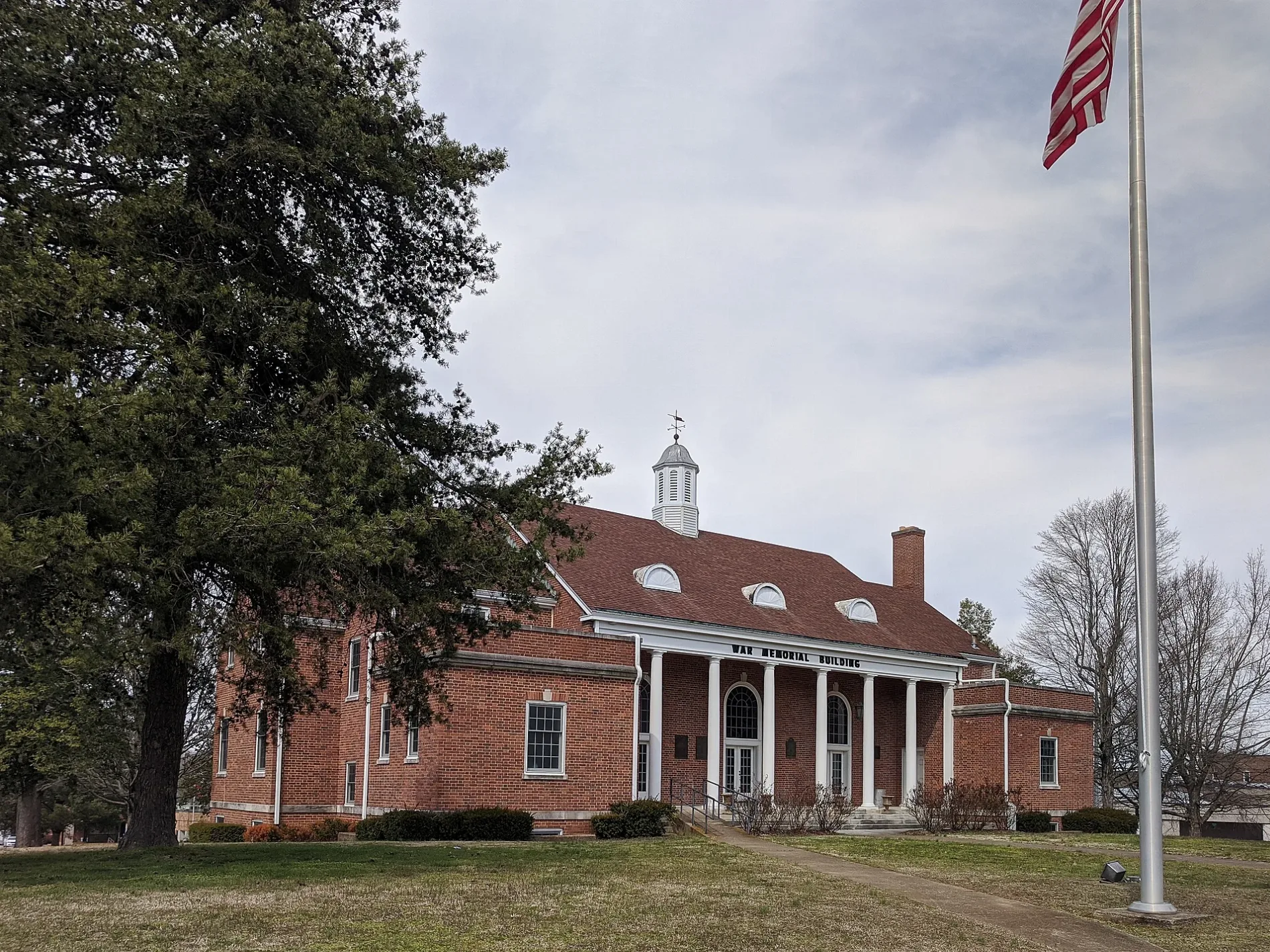
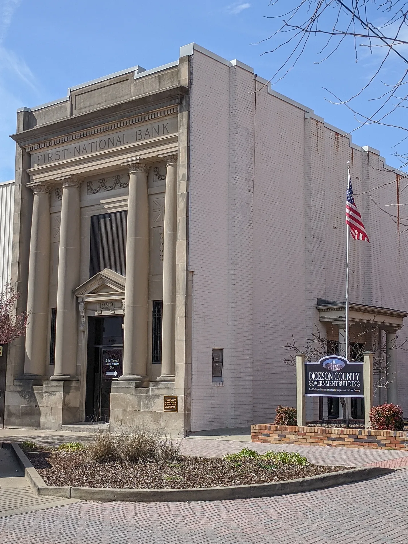

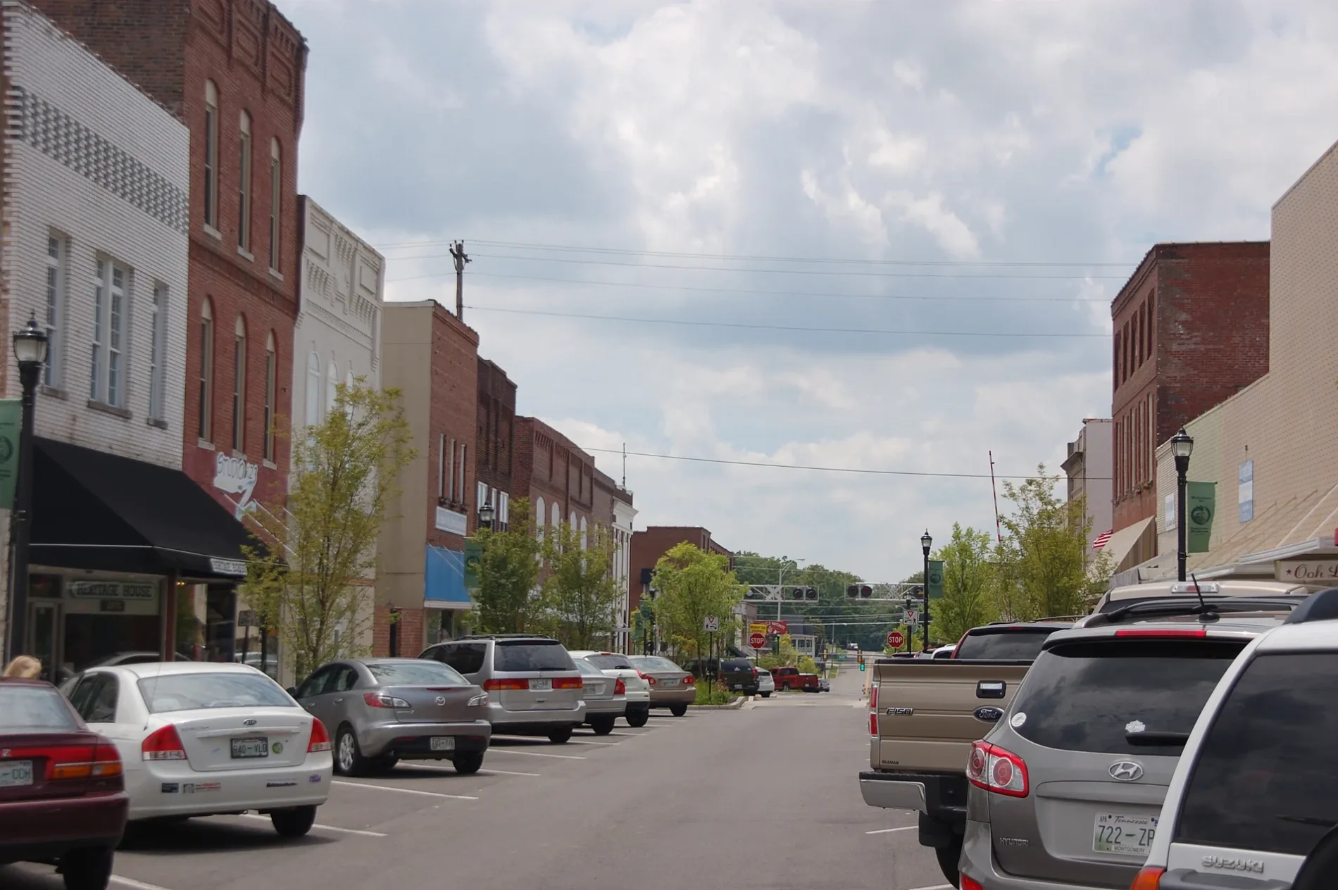
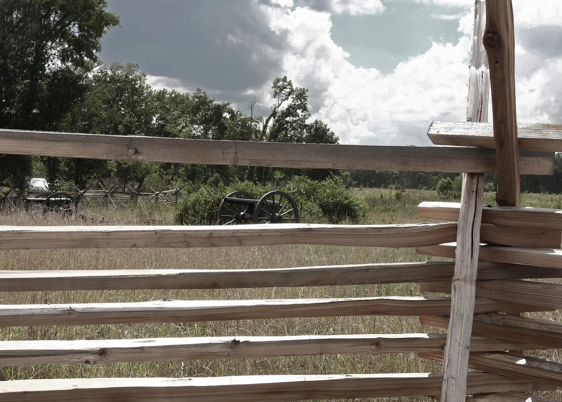
 Public transit map Middle Tennessee Legend
 | Railway | |
| Bus | |
| Streetcar |
 Bicycle map Middle Tennessee Legend
 | Bike path | |
| Bike lane on roadway | |
| Cycling allowed on bus lane | |
| Bicycle street | |
| Open to cyclists | |
| Open to cyclists, good path | |
| Cycling prohibited | |
| Cobblestone |
| Long-distance bike route | (depending on scale) | |
| Long-distance bike route |
 Pedestrian map Middle Tennessee Legend
 | Path |
| Long-distance hiking trail | (depending on scale) | |
| Long-distance hiking trail | ||
| Pedestrians prohibited |