
Cumberland County, Tennessee
Cumberland County is located in East Tennessee. About 58,229 people live here. Between 2010 and 2020, the population grew from 56,053 to 61,145. The area covers about 1,774.0 square kilometers. The region is divided into 3 Municipalities. The region was founded in 1855. The name originates from Cumberland Mountains (subrange of the Appalachian Mountains) Cumberland County is county in Tennessee, United States. More information at cumberlandcountytn.gov.
Cumberland County – Facts
| Population | 61145 |
|---|---|
| Area | 1774 km² |
| Subregions | 3 |
| Named after | Cumberland Mountains |
| Year built | 1855 |
| Located in | Tennessee |
| Country | United States |
| Native name | Cumberland County |
| Website | https://cumberlandcountytn.gov/ |
Data source: Wikidata (CC0)
Municipalities in Cumberland County, Tennessee
Photos from Cumberland County


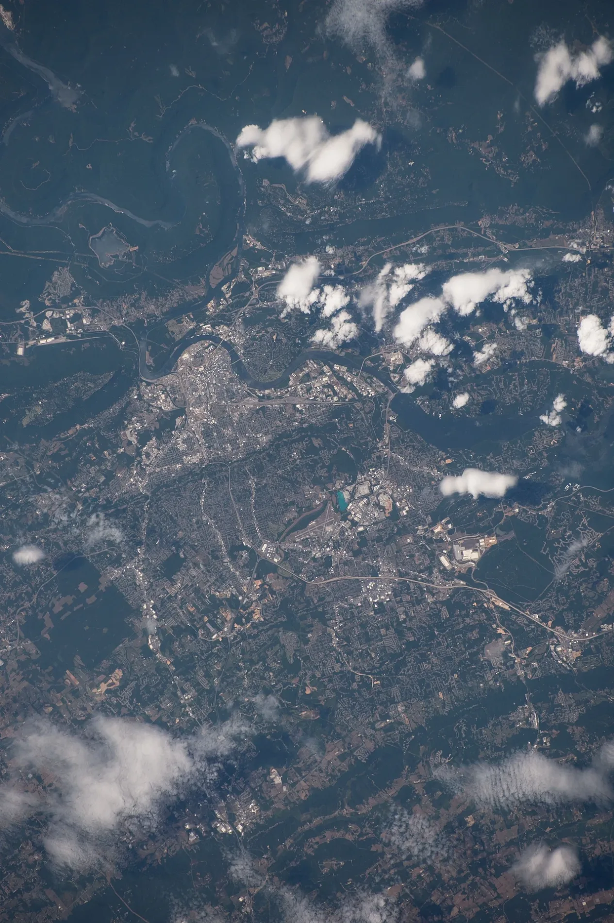
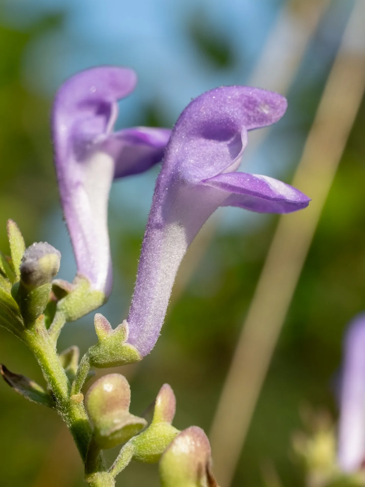
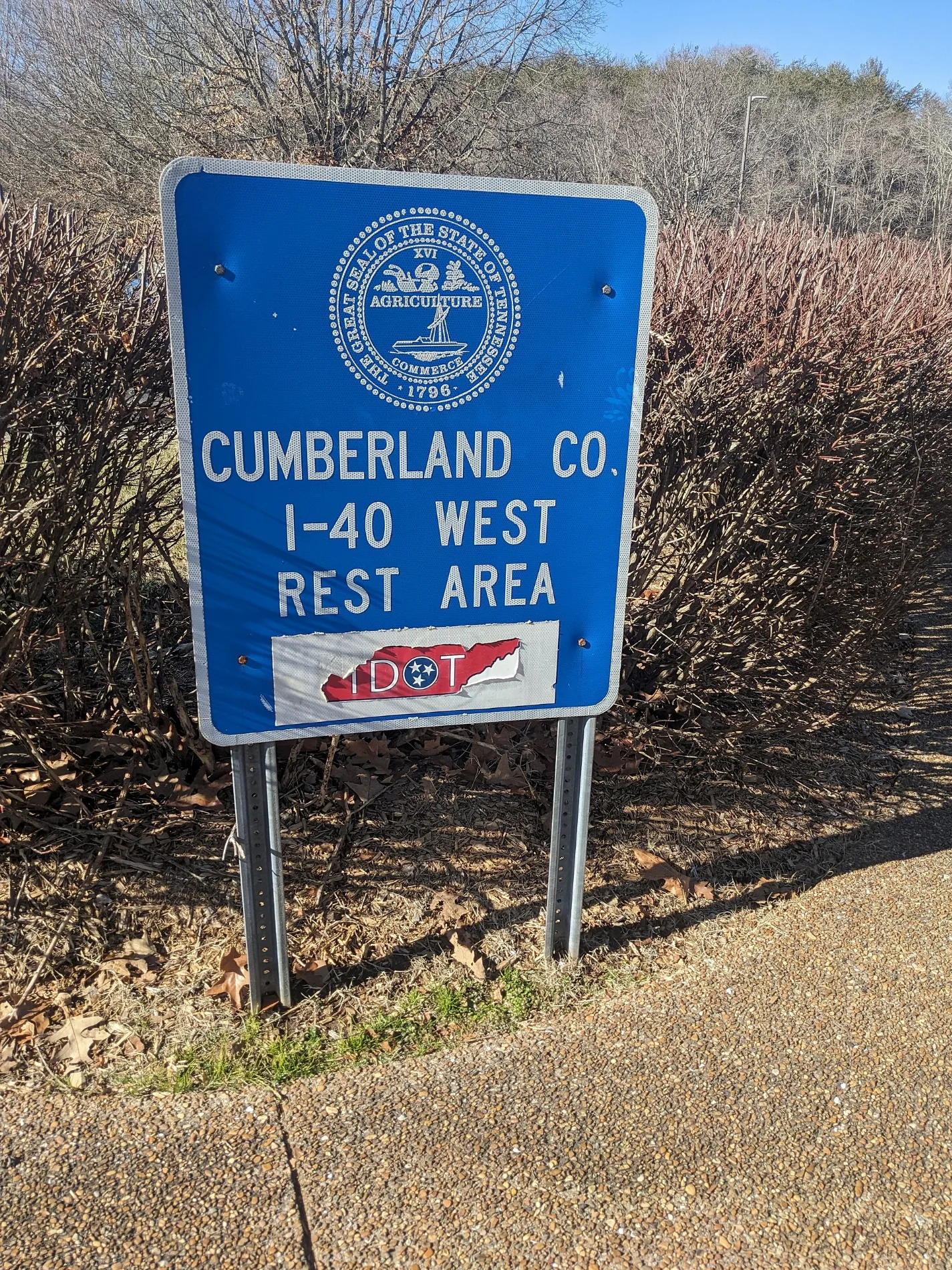
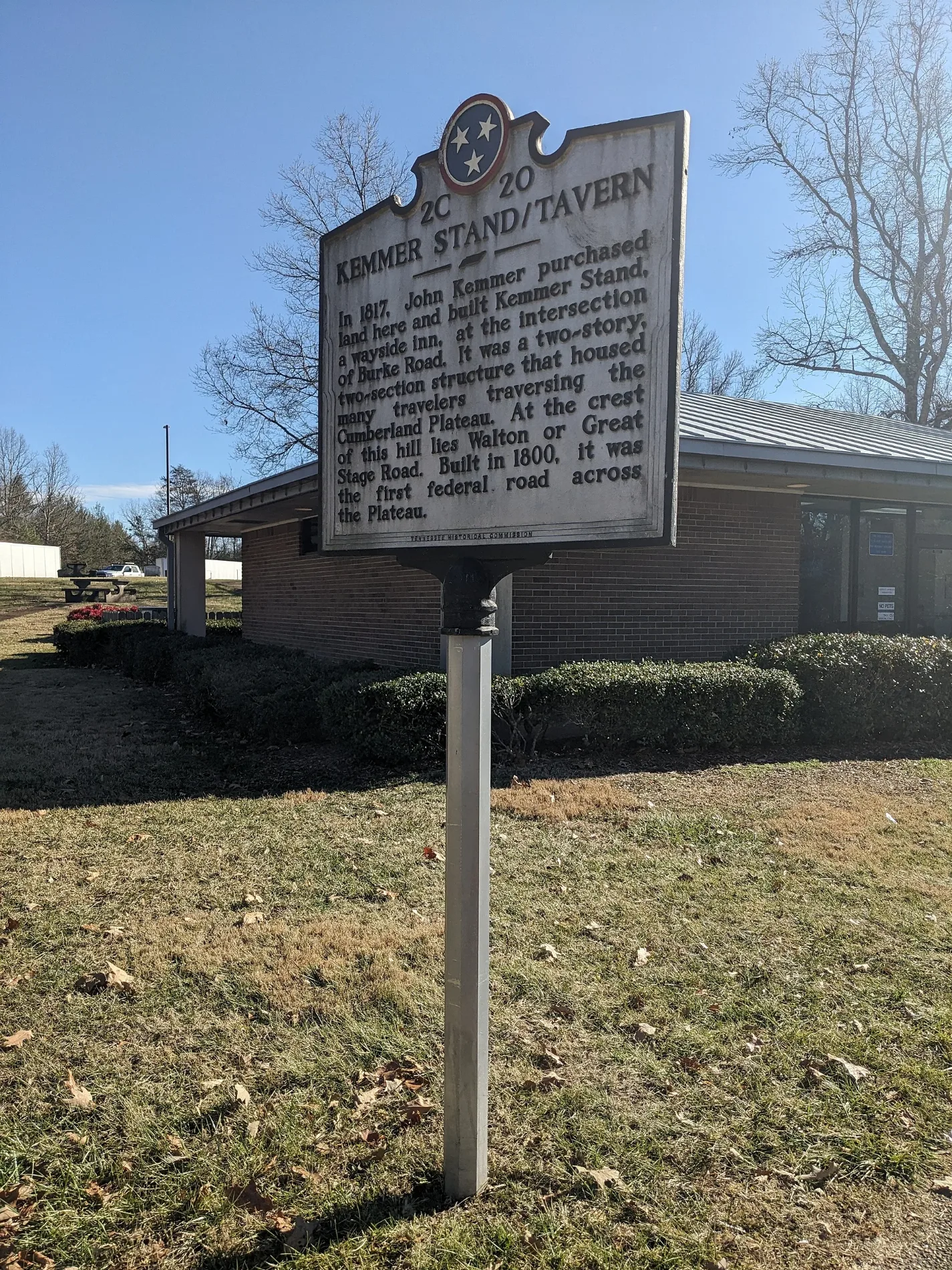

Streets in Cumberland County, Tennessee
Streets
Peavine Road
McDonald's, Hardee's, Subway, Exxon, Weigel's, Manny and Isabella's, Cumberland County Bank, Regions Bank, Dollar Tree, U-Haul, Antioch Cemetery
Vandever RoadOak Grove, Big Lick, Big Lick School, Calvary Church, Vandever, Hale Chapel, Stephens Gap Church
Newton RoadOld Winesap, Midway, Winesap, Midway School, Winesap Freewill Baptist Church, Burgess Cemetery Number Two
Daysville RoadPineview School, Daysville, Day Cemetery, Daysville Baptist Church
Creston RoadCreston, Woody School, Calvary Church, Creston Baptist Church, Dykes Crossroads
CT - Overlook Spur"Bowed Bluff" Overlook, "Beak Bluff" Overlook, "Three Rapids" Overlook
Woodlands CircleShell, Godfather's Pizza
Wilson RoadTate Cemetery, Dixon Cemetery
Town Centre DriveFood City Gas 'N Go, First National Bank of Tennessee
Cox Valley RoadHaleys Grove, Meadows Creek Church, Meadow Creek Church
Hebbertsburg RoadHebbertsburg, New Home Church, Hamby Cemetery, Watson
West Creston RoadBaker Crossroads, Crossville-Creston School, Bakers Crossroads Freewill Baptist Church
Woodgate DriveAce Hardware, Dollar General
Potato Farm RoadWoody, Bethlehem Church, Neal Chapel
Mayland Ballfield DriveMayland Baptist Church, Mayland Town Hall
Genesis RoadOak Hill, Oak Hill Church, Slate Springs Baptist Church, Halfway
Pow Camp RoadPomona School, Pomona Methodist Church
Lantana RoadLantana, Lantana School, ADHD Towing and Repair
Taylors Chapel RoadTaylors Chapel, Taylor Chapel, Leggett Cemetery
Highland LaneHighland Estates, Hedgecoth Cemetery
Bear Den TrailKing-Reed Cemetery
Midway RoadZion Hill Church
Ivey RoadMountain View Church
Junior Camp RoadMayland School
Fredonia RoadFredonia Church
Claysville Access RoadClaysville Methodist Church
Grievers Chapel RoadGreivertown, Greivers Chapel
Hall RoadLantana Church of Christ
Millstone Mountain RoadMillstone, Waldensia, Millstone Church of Christ
Fall Creek RoadOzone Post Office
Chestnut Hill RoadDorton, Dorton School, Chestnut Hill
Drew Howard RoadPeavine, Brookhart Cemetery
Westel RoadWestel Post Office, Mount Vernon
Byers LaneIsoline Baptist Church
Tom Davidson RoadRogers Church of Christ
Lawson RoadPine Grove Church, North Crossville Addition
Plateau RoadExxon
Old Hwy 68Alloway Church
Deep Draw RoadHomestead, Cumberland Homestead Church, Daddys Creek
Bowman LoopBowman School
Falcon Warrior TrailHead of the Sequatchie River
Smith Mountain RoadRogers, Deerwood, Mount Pisgah Church
Golliher RoadGolliher Cemetery
Old Tanner Cemetery RoadTanner Cemetery
Black Mountain TrailOzone Falls
Bean Pot Campground RoadPeavine Road Convience Center
Pamala LanePeavine Cemetery
East Valley DriveParham, Parham Chapel
Devil's Breakfast Table TrailNorth Peavine Campsite
Hyder Ridge RoadCry Cemetery
Eldridge LoopWinnie Cemetery
Pomona RoadGrace Church
Dunbar RoadExxon
Timberline RoadPandora's Resort
Rock Quarry RoadFirst Presbyterian Church
Wallop LaneTerrell Cemetery
Red RoadRidgedale, Ridgedale Church
Claysville RoadClaysville, Raines Cemetery
Swicegood RoadChestnut Hill School
Lantana DriveAndrew Cemetery
Kerley Cemetary RoadOrmes Cemetery
Camp Ozone RoadCamp Ozone
Casto Pugh RoadPlateau, Plateau Missionary Baptist Church
Alloway RoadMount Zion, Mount Zion Baptist Church
Dogwood RoadFall Creek Church
Old State Highway 28Linary, Linary Church of Christ
Lakeview DriveLibrary Trail Trailhead
Clear Creek RoadClear Creek Church
Hedgecoth RoadCline School
Little Cove RoadDerossett Cemetery
Issac LaneMcKinney Cemetery
Daddys Creek TrailDaddy's Creek Campsite
Sherrill Cemetery TrailSherrill Cemetery
Leffle Webb RoadVandever Baptist Church
Ski Drive
Devon Loop
Gilford Terrace
Benton Dixon Road
Mountain Preserve Point
Snowdon Point Lane Public transit map Cumberland County Legend
| Railway | |
| Bus | |
| Streetcar |
 Bicycle map Cumberland County Legend
| Bike path | |
| Bike lane on roadway | |
| Cycling allowed on bus lane | |
| Bicycle street | |
| Open to cyclists | |
| Open to cyclists, good path | |
| Cycling prohibited | |
| Cobblestone |
| Long-distance bike route | (depending on scale) | |
| Long-distance bike route |
 Pedestrian map Cumberland County Legend
| Path |
| Long-distance hiking trail | (depending on scale) | |
| Long-distance hiking trail | ||
| Pedestrians prohibited |