
Bradley County, Tennessee
Bradley County is located in East Tennessee. About 104,091 people live here. Between 2010 and 2020, the population grew from 98,963 to 108,620. The area covers about 859.0 square kilometers. The region is divided into 2 Municipalities. The region was founded in 1836. Bradley County is county in Tennessee, United States. More information at www.bradleyco.net.
Bradley County – Facts
| Population | 108620 |
|---|---|
| Area | 859 km² |
| Subregions | 2 |
| Year built | 1836 |
| Located in | Tennessee |
| Country | United States |
| Native name | Bradley County |
| Website | https://bradleycountytn.gov/ |
Data source: Wikidata (CC0)
Photos from Bradley County
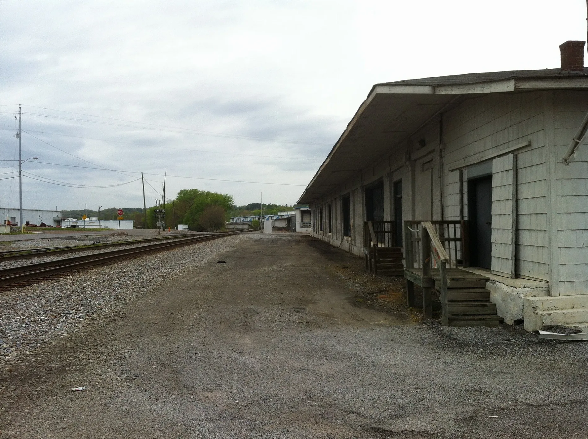
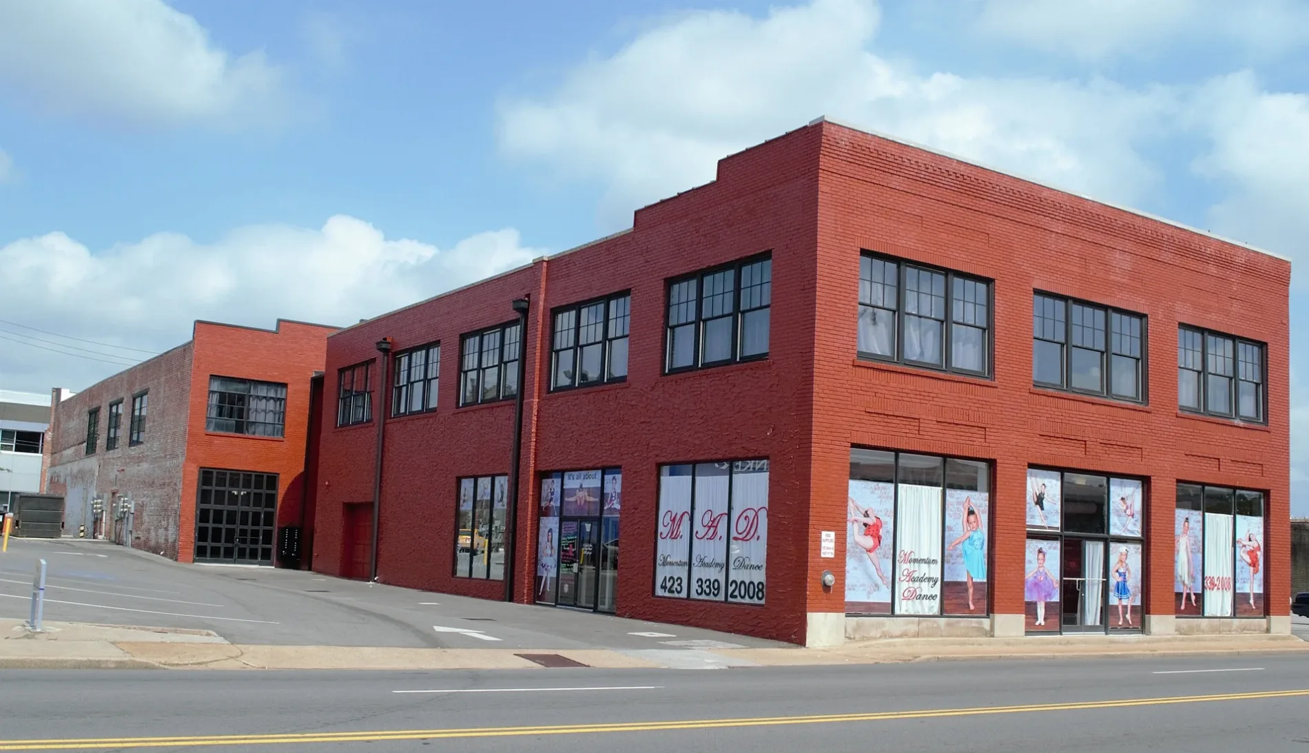
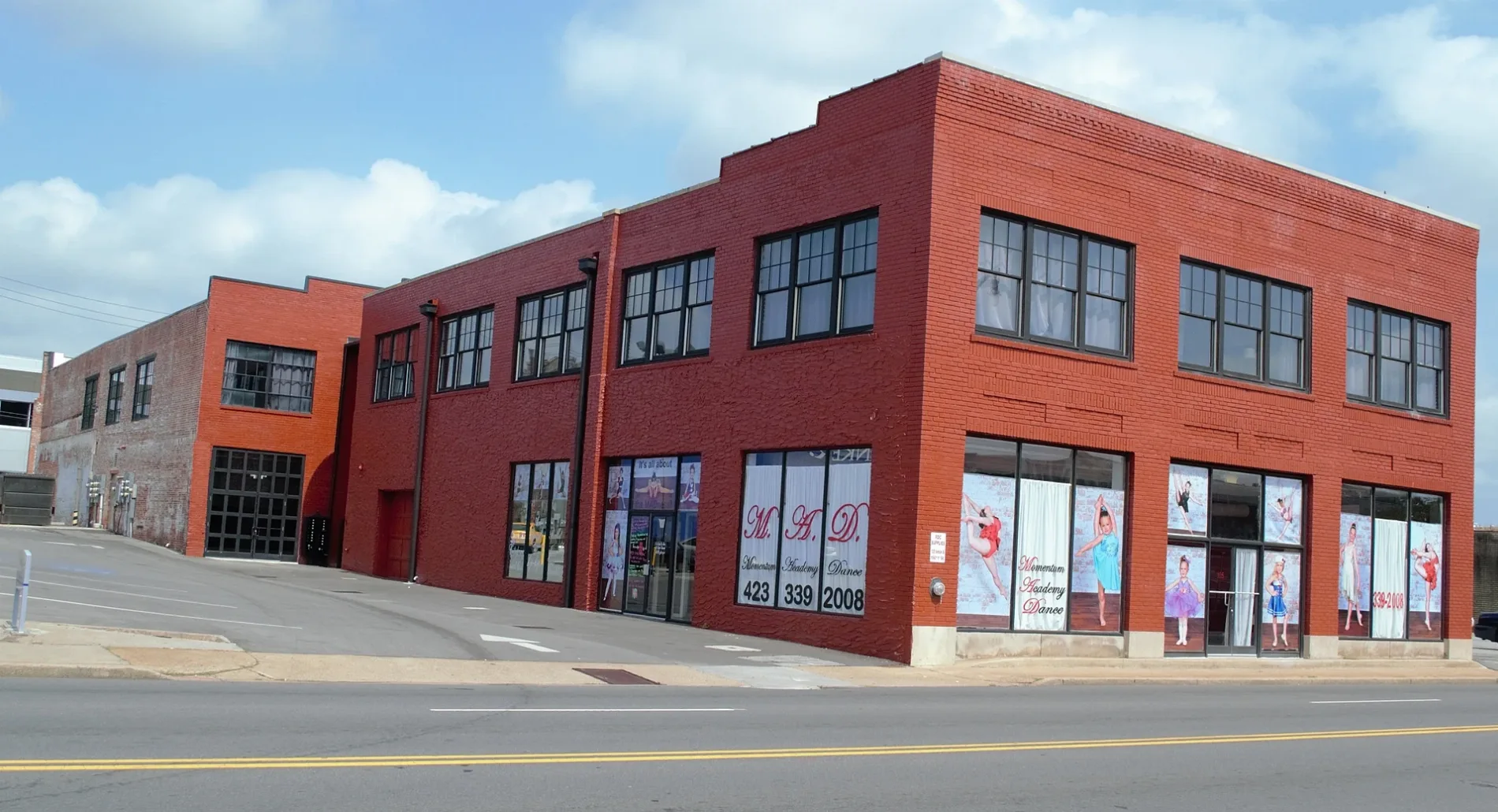
Municipalities in Bradley County, Tennessee
Streets in Bradley County, Tennessee
Streets
Love's Travel Stop
CAT Scale, McDonald's, Subway, Love's
Spring Place Road SoutheastGap Spring, Valley View Baptist Church, BP, Kangaroo
White Oak Valley RoadBarger Cemetery, Funderburg Cemetery, White Oak Baptist Church
Blue Springs RoadMount Carmel Baptist Church, Green Meadow, Blue Springs Elementary School, Johns Cemetery
North Lee HighwayAll Safe Storage, Reef Chasers, Mountain Oak Vapors of Cleveland
Bates Pike SoutheastKinser Church, Oak Grove Baptist Church, Taylor School
Kile Lake RoadTrewhitt Elementary School, Tewhitt Junior High School
Ladd Springs Road SoutheastLadd Springs Church, Moores Chapel Baptist Church
Old Parksville RoadTravena School, Outland Expeditions Ocoee River Rafting
Davis-Curbow Road SoutheastAntioch Church
Durkee RoadOak Grove Elementary School, Subway
Young RoadTwin Oaks, Bruce's Cut & Curl, KFC
McDonald School RoadCorinth Church, McDonald Elementary School
Nipper Drive SoutheastWaterville Elementary School, Waterville Baptist Church
Cedar Springs Church Road SoutheastCedar Spring, Cedar Springs Baptist Church
Strawberry LaneEast Cleveland Elementary School
Washington AvenueSpring Place Church
Waterlevel HighwayCleveland Country Mart
Lebannon Valley Church Road SouthwestLebanon, Lebanon Church
Benton Pike NortheastMichigan Avenue Baptist Church
Red Hill Valley Road SoutheastRed Hill Methodist Church
Candies Creek Ridge RoadRenslow Cemetery
New Hope Road SoutheastNew Hope Baptist Church
Hampton Drive SoutheastHampton Drive Church
Kinser RoadTaylor, Kinser Church
Oak Grove Road SoutheastCloverleaf Church
No Pone Road NorthwestStandfield Church
Flintsprings Road SoutheastFlint Springs, Flint Springs Presbyterian Church
Georgetown Road NorthwestFood City
Trewhitt RoadWildwood Lake, Goodwill Baptist Church
Peach Orchard Hill Road NortheastPeach Orchard, House of Prayer
Patterson RoadMacedonia Cemetery
Bancroft RoadBancroft Church of God
Chestuee RoadChestuee Church, Ocoee Hills
Gum Springs Road NorthwestGum Springs Baptist Church
Maden DriveBethel Tabernacle
Michigan Avenue School RoadMichigan Avenue Elementary School
Sugar Creek Road SoutheastSugar Creek Church
Candies Creek Ridge Rd NWDPC Center
New Murraytown RoadNew Prospect Church
Victoria LaneHigh Point School
Clay Baker Road NorthwestMount Olive Church
Pleasant Grove Church Road SouthwestPleasant Grove Church
Old Chattanooga Pike SouthwestBlack Fox, Black Fox Methodist Church, Tucker Springs
Mouse Creek RoadHenegar Church
Blue Springs Church Road SouthwestBlue Springs Baptist Church
Tasso Lane NortheastTasso Methodist Church, Tasso
Samples Chapel Road SoutheastSamples Memorial Church
Harrison PikeBaugh Spring, Prospect, Temple Baptist Church
Arnold StreetEast Cleveland Baptist Church
Varnell RoadBlack Fox Elementary School
Simrita CircleSaint Andrews Church
Roadway DriveMount View Church
Sherry DriveParkway Church
Bluebird Nature Lane SoutheastSunrise Church
Old Alabama Road SouthwestPine Hill Church of God
Lower River Road NorthwestBeech Springs Cemetery
Old Bacon Road NortheastUnion Grove Church
Upper River Road NortheastCouncil Baptist Church
Kincaid Road SoutheastFairview Church
Beaty Drive NorthwestFreewill Baptist Church
Francisco Road NorthwestSaint Elmo Church
Old Freewill RoadFreewill, Elkmont Baptist Church
Hughes Lake Road SoutheastFelker, Union, Union Baptist Church
Old Kinser Circle SoutheastChestuee, Chestuee Baptist Church
Chilcutt Road NortheastClimer, Chilcutt Chapel
Southwest Natures TrailLandfill Recycling Center
Mount Bethel Road SoutheastMount Bethel Church
Thompson Springs Road SoutheastThompson Springs Baptist Church
Beck StreetGrace Baptist Church
Eureka Road NorthwestEureka, Hopewell Church
No Pone RoadEastview Baptist Church
Perry Street SoutheastWashington Avenue Baptist Church
Sue Circle
Sandra Drive
Little John Circle
Lewis Lane
Mountainview DriveSupermarkets
 Public transit map Bradley County Legend
| Railway | |
| Bus | |
| Streetcar |
 Bicycle map Bradley County Legend
| Bike path | |
| Bike lane on roadway | |
| Cycling allowed on bus lane | |
| Bicycle street | |
| Open to cyclists | |
| Open to cyclists, good path | |
| Cycling prohibited | |
| Cobblestone |
| Long-distance bike route | (depending on scale) | |
| Long-distance bike route |
 Pedestrian map Bradley County Legend
| Path |
| Long-distance hiking trail | (depending on scale) | |
| Long-distance hiking trail | ||
| Pedestrians prohibited |