
East 8th Avenue in Belton, Texas
East 8th Avenue in Belton is a two-lane, asphalted residential street. It runs in an east-west direction starting from North East Street and ends at North Penelope Street. East 8th Avenue also exists in Carson County, Hidalgo County, Milam County and Navarro County.
- Road Type
- residential street
- Lanes
- 2
- Speed Limit
- 30 mph
- Route
- east-west
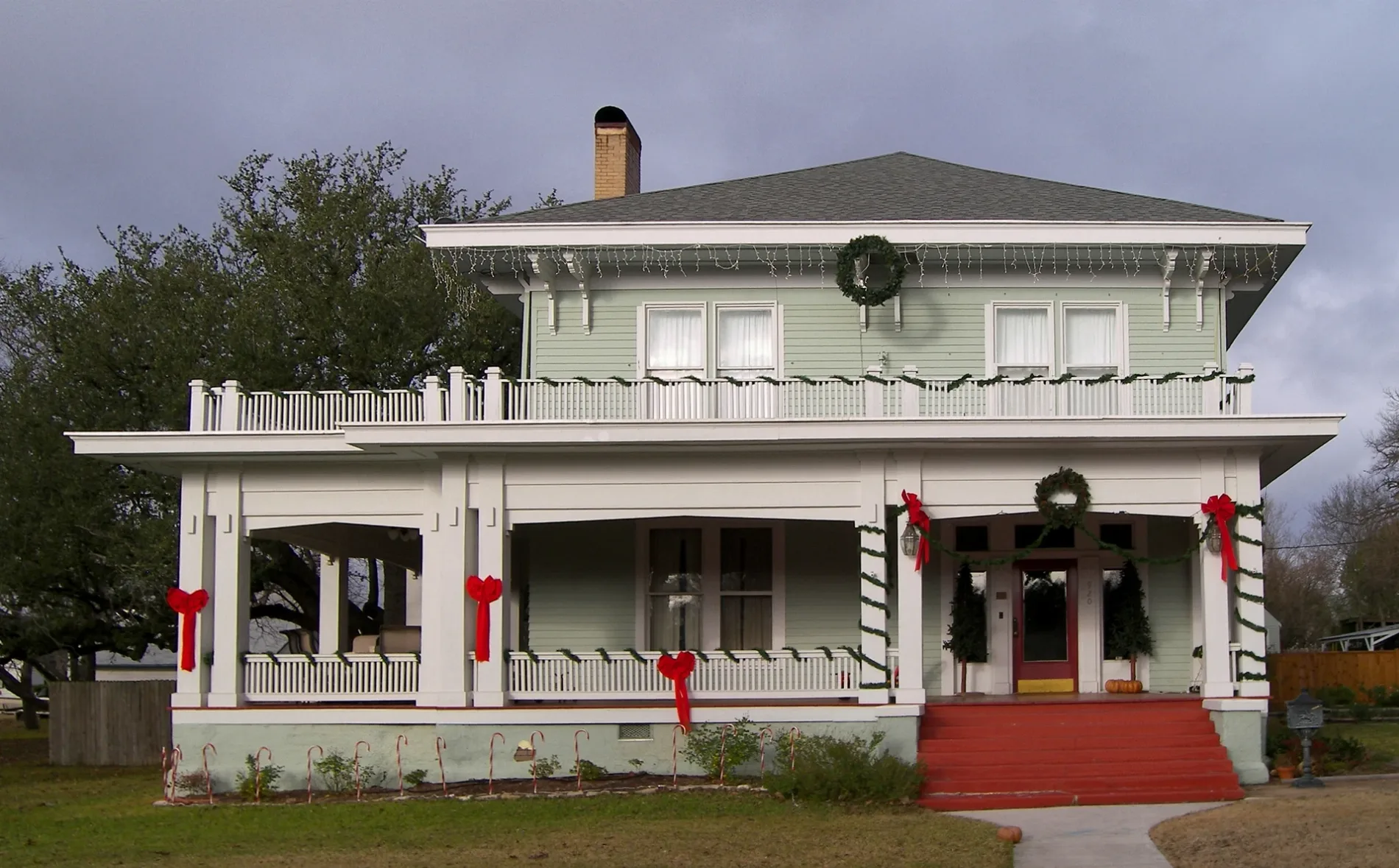
Image
Restaurants
Libraries
Pharmacies
Places of worship
Hardware stores
Museums
- Bell County Museum (opening hours: Tue–Fri 12–17; Sat 10–17, free of charge, Web) at North Main Street 201 (76513) – approx. 0.4 mi.
Supermarkets
Schools
Dentist offices
Arts centers
Parking lots
Streets nearby
East 9th Avenue450 ft
West 8th Avenue0.1 mi
West 10th Avenue0.2 mi
East 10th Avenue0.2 mi
West Martin Luther King Jr Avenue0.2 mi
West 7th Avenue0.2 mi
East 5th AvenueBelton Family Dental, Old Saint Lukes Episcopal Church
0.2 mi
West 6th Avenue0.2 mi
Warren Street0.2 mi
East 11th Avenue0.2 mi
East 7th Avenue0.2 mi
North Beal Street0.2 mi
North Wall StreetLutheran Church Prince of Peace
0.2 mi
West 5th Avenue0.2 mi
College Street0.2 mi
East 4th Avenue0.3 mi
Shine Avenue0.3 mi
North Main StreetBell County Museum
0.3 mi
North Blair StreetTyler School, Belton New Tech High School
0.3 mi
Vann Circle0.3 mi
Wells Street0.3 mi
West 11th Avenue0.3 mi
West 3rd AvenueMount Zion United Methodist Church
0.3 mi
East 3rd AvenueDistrict DAEP - Belton ISD Administration Support Services - Paint Shop - Surplus, Maintenance and Carpentry Shop
0.3 mi
Capt Drive0.3 mi
North Pearl Street0.3 mi
North East Street0.4 mi
Reuter Drive0.4 mi
Shine Street0.4 mi
Moore0.4 mi
North Penelope Street0.4 mi
East 2nd Avenue0.4 mi
North Alexander Street0.4 mi
West 2nd Avenue0.4 mi
concrete:plates0.4 mi
Smith StreetHarris Community Center
0.5 mi
Yettie Polk Park Road0.5 mi
North Burnet Street0.5 mi
Churches nearby
Christian Life Center - FUMC0.3 mi
Fast food restaurants nearby
Shipley Do-Nuts0.3 mi
Domino's0.3 mi
Funeral homes nearby
Harper-Talasek Funeral Home0.3 mi
Gas stations nearby
Speedy Mart0.4 mi
Parks nearby
Harris Community Park0.3 mi
Millennium Oaks Park0.4 mi
Places of worship nearby
First Baptist Church0.2 mi
First United Methodist Church of Belton0.3 mi
Theaters nearby
Sue & Frank Mayborn Performing Arts Center500 ft
Variety stores nearby
Dollar General0.3 mi
 Public transit map Belton Legend
| Railway | |
| Bus | |
| Streetcar |
 Bicycle map Belton Legend
| Bike path | |
| Bike lane on roadway | |
| Cycling allowed on bus lane | |
| Bicycle street | |
| Open to cyclists | |
| Open to cyclists, good path | |
| Cycling prohibited | |
| Cobblestone |
| Long-distance bike route | (depending on scale) | |
| Long-distance bike route |
 Pedestrian map Belton Legend
| Path |
| Long-distance hiking trail | (depending on scale) | |
| Long-distance hiking trail | ||
| Pedestrians prohibited |