
North Walker Street in Belton, Texas
North Walker Street in Belton is a two-lane, asphalted residential street. It runs in a north-south direction and crosses East 1st Avenue and ends at East Central Avenue, while the other end is a cul-de-sac. North Walker Street also exists in Brazoria County, Brewster County, Navarro County and Henderson County.
- Road Type
- residential street
- Lanes
- 2
- Speed Limit
- 30 mph
- Route
- north-south
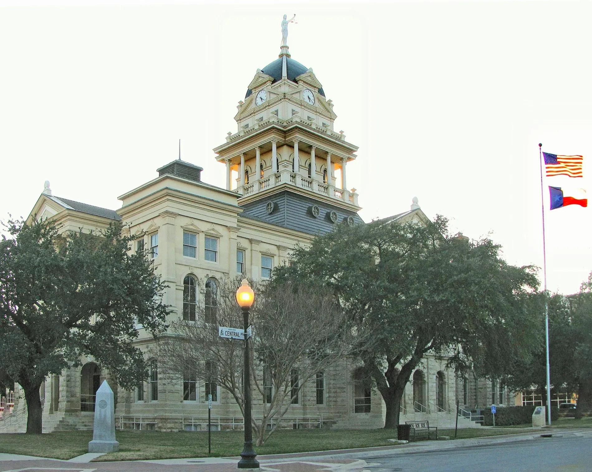
Image
Restaurants
Museums
- Bell County Museum (opening hours: Tue–Fri 12–17; Sat 10–17, free of charge, Web) at North Main Street 201 (76513) – approx. 0.3 mi.
Arts centers
Places of worship
Parking lots
Dentist offices
Schools
Libraries
Supermarkets
Hardware stores
Streets nearby
East 1st AvenueLena Armstrong Public Library
350 ft
Muelhouse Street450 ft
South Birdwell Street0.1 mi
East 2nd Avenue0.1 mi
North Blair StreetTyler School, Belton New Tech High School
0.1 mi
North Birdwell Street0.2 mi
Water Street0.2 mi
East 3rd AvenueDistrict DAEP - Belton ISD Administration Support Services - Paint Shop - Surplus, Maintenance and Carpentry Shop
0.2 mi
Muellhouse Street0.2 mi
East Avenue C0.2 mi
Veterans WayBelton Park & Ride
0.2 mi
North I-35 Frontage Road0.2 mi
North Head Street0.2 mi
South I-35 Frontage RoadPit Stop Barbeque, Sunbelt RV Center
0.3 mi
Hale Street0.3 mi
East Central Avenue0.3 mi
South Head Street0.3 mi
Purple Heart Trail0.4 mi
Mays Street0.4 mi
East Avenue B0.4 mi
Spring Street0.4 mi
Auto parts stores nearby
O'Reilly Auto Parts500 ft
Eagle Auto Parts & Paint0.1 mi
AutoZone0.2 mi
Buildings nearby
Texian Insurance Agency350 ft
Tax Appraisal District of Bell County0.1 mi
Tapestry Community Church0.2 mi
Belton Chrisitian Youth Center0.3 mi
Cafes nearby
Starbucks0.3 mi
Convenience stores nearby
L C Sarah Mart250 ft
CEFCO0.2 mi
Fast food restaurants nearby
Sonic0.2 mi
Arby's0.2 mi
Jimmy John's0.3 mi
Taco Bell0.3 mi
Popeyes0.3 mi
Burger King0.3 mi
Gas stations nearby
Valero300 ft
Shell0.2 mi
Parks nearby
Liberty Park0.1 mi
Places of worship nearby
Crossroads Church0.4 mi
Post offices nearby
United States Post Office550 ft
Restaurants nearby
Jaliscos Mexican Restaurant450 ft
Schoepf's BBQ450 ft
Taqueria El Mexicano Grille0.2 mi
Retail buildings nearby
Texas Tour Gear300 ft
Tire dealers nearby
Quality Tire & Auto Service150 ft
Arkham Tire0.2 mi
Tobacco shops nearby
Creekside Cigar Lounge200 ft
 Public transit map Belton Legend
| Railway | |
| Bus | |
| Streetcar |
 Bicycle map Belton Legend
| Bike path | |
| Bike lane on roadway | |
| Cycling allowed on bus lane | |
| Bicycle street | |
| Open to cyclists | |
| Open to cyclists, good path | |
| Cycling prohibited | |
| Cobblestone |
| Long-distance bike route | (depending on scale) | |
| Long-distance bike route |
 Pedestrian map Belton Legend
| Path |
| Long-distance hiking trail | (depending on scale) | |
| Long-distance hiking trail | ||
| Pedestrians prohibited |